Seaforth in Huron East in Huron County, Ontario — Central Canada (North America)
Reverend William Graham
Photographed by Tim Boyd, July 15, 2026
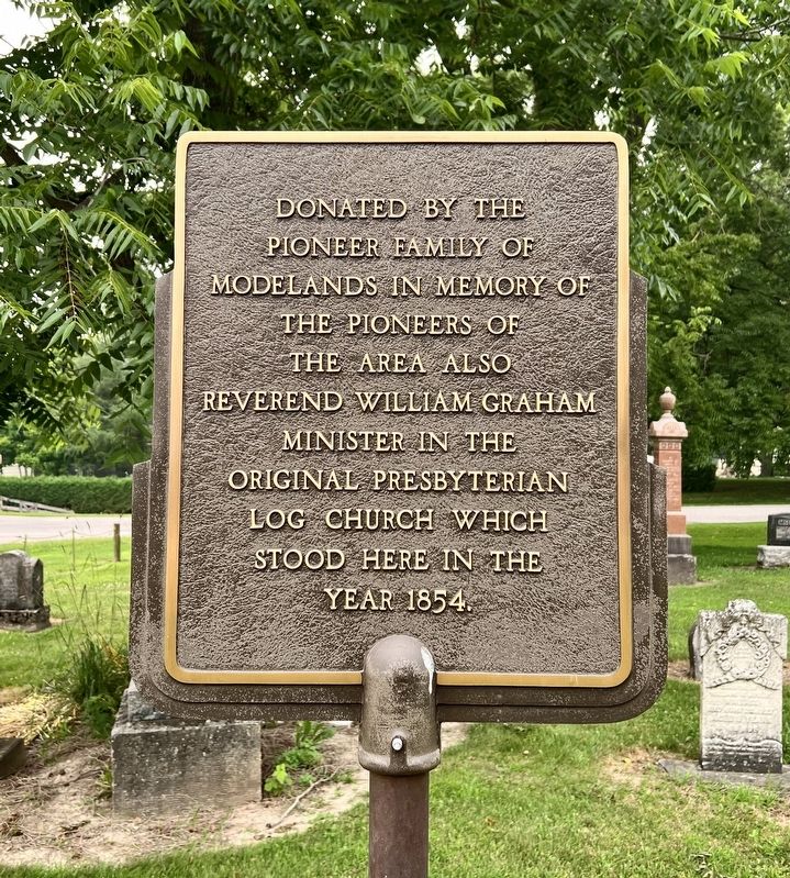
1. Reverend William Graham Marker
Donated by the pioneer family of Modelands in memory of the pioneers of the area also Reverend William Graham minister in the original Presbyterian log church which stood here in the year 1854.
Topics. This historical marker is listed in these topic lists: Religion & Religious Structures • Settlements & Settlers. A significant historical year for this entry is 1854.
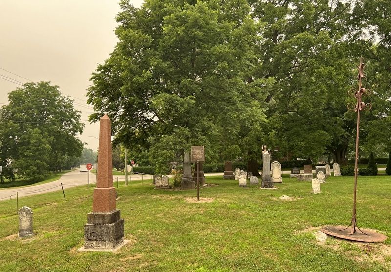
Location. 43° 32.371′ N, 81° 24.48′ W. Marker is in Huron East, Ontario, in Huron County. It is in Seaforth. It is at the intersection of Front Road and Van Egmund Street, on the right when traveling west on Front Road. The marker is near the southwest corner of the Van Egmond Cemetery. Touch for map. Marker is at or near this postal address: 34 Front Rd, Huron East ON N0K 1W0, Canada. Touch for directions.

Regionally, this marker is in the Huron-Perth-Waterloo-Wellington Area and in Southwestern Ontario. It is also in Central Canada. Globally, it is in North America, on the Great Lakes, in the Western Hemisphere, in the Western World, and in the Anglosphere. Historically, it finds itself in what was once a British colony, the
this page online
Other nearby markers. At least 8 other markers are within 8 kilometers of this marker, measured as the crow flies: Colonel Anthony Van Egmond (within shouting distance of this marker); The Van Egmond House (about 180 meters away, measured in a direct line); Seaforth Firefighters (approx. 1.7 kilometers away); The Founding of Seaforth (approx. 1.8 kilometers away); Seaforth Cenotaph (approx. 1.8 kilometers away); Hon. William Aberhart 1878-1943 (approx. 2.3 kilometers away); The Green Bridge (approx. 6 kilometers away); St. Columban Church (approx. 7.1 kilometers away). Touch for a list and map of all markers in Huron East.
Photographed by Tim Boyd, July 15, 2026
2. Reverend William Graham Marker
Photographed by Tim Boyd, July 15, 2026
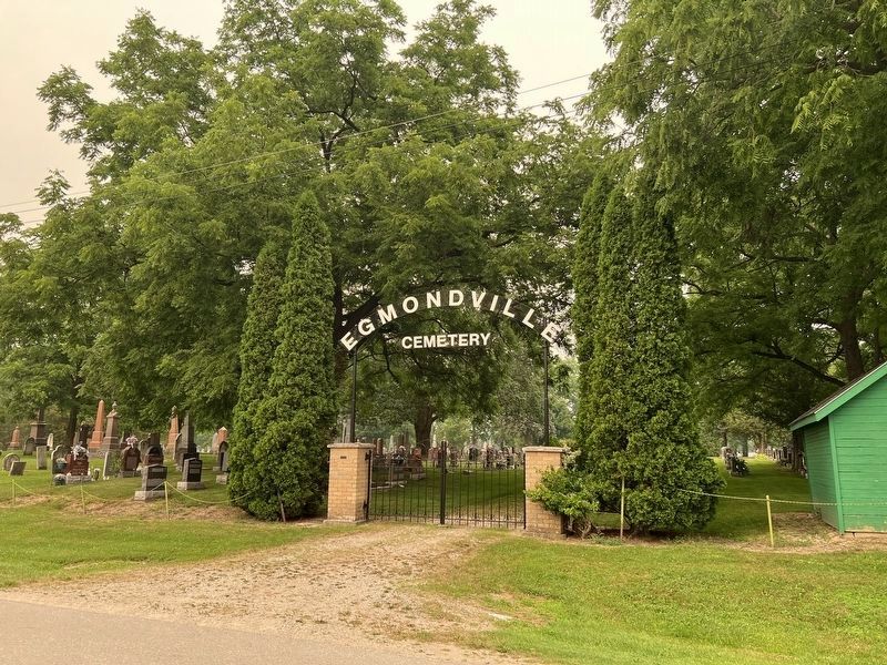
3. Egmondville Cemetery, Seaforth
The marker in the southwest corner of the cemetery
Credits. This page was last revised on July 21, 2026. It was originally submitted on July 20, 2026, by Tim Boyd of Hamilton, Ontario. This page has been viewed 9 times since then. Photos: 1, 2, 3. submitted on July 20, 2026, by Tim Boyd of Hamilton, Ontario. • Andrew Ruppenstein was the editor who published this page.
