Seaforth in Huron East in Huron County, Ontario — Central Canada (North America)
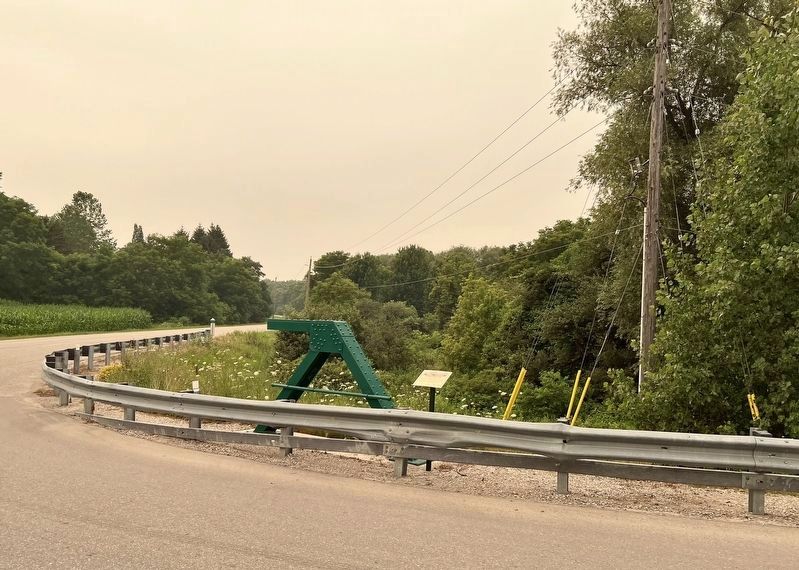
The Green Bridge

Photographed by Tim Boyd, July 15, 2026
1. The Green Bridge Marker
The Green Bridge was a riveted, six panel steel pony truss with original gas pipe railings that spanned the Bayfield river at Front Road and Kinburn Line. It was replaced in 2021 with the current crossing.
Topics. This historical marker is listed in this topic list: Bridges & Viaducts. A significant historical year for this entry is 1947.
Location. 43° 33.947′ N, 81° 28.347′ W. Marker is in Huron East, Ontario, in Huron County. It is in Seaforth. It is at the intersection of Kinburn Line and Front Line, on the right when traveling south on Kinburn Line. Touch for map. Marker is at or near this postal address: 77260 Kinburn Line, Huron East ON N0K 1W0, Canada. Touch for directions.

Regionally, this marker is in the Huron-Perth-Waterloo-Wellington Area and in Southwestern Ontario. It is also in Central Canada. Globally, it is in North America, on the Great Lakes,
this page online
Other nearby markers. At least 8 other markers are within 8 kilometers of this marker, measured as the crow flies: Reverend William Graham (approx. 6 kilometers away); Colonel Anthony Van Egmond (approx. 6 kilometers away); The Van Egmond House (approx. 6.2 kilometers away); Seaforth Firefighters (approx. 6.5 kilometers away); The Founding of Seaforth (approx. 6.6 kilometers away); Seaforth Cenotaph (approx. 6.6 kilometers away); Hon. William Aberhart 1878-1943 (approx. 6.9 kilometers away); The Slomans and the CNR School on Wheels / Les Sloman et le wagon-école du CN (approx. 6.9 kilometers away). Touch for a list and map of all markers in Huron East.
Photographed by Tim Boyd, July 15, 2026
2. The Green Bridge Marker
With a segment of the old bridge
Photographed by Tim Boyd, July 15, 2026
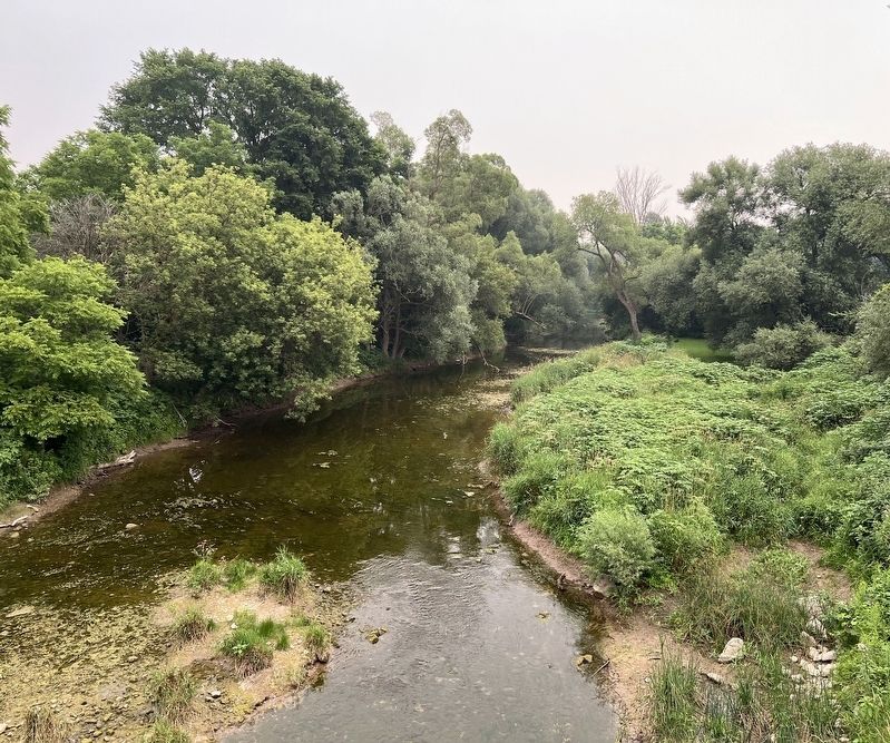
3. The Bayfield River facing east from the current bridge
Credits. This page was last revised on July 20, 2026. It was originally submitted on July 20, 2026, by Tim Boyd of Hamilton, Ontario. This page has been viewed 11 times since then. Photos: 1, 2, 3. submitted on July 20, 2026, by Tim Boyd of Hamilton, Ontario. • Andrew Ruppenstein was the editor who published this page.
