
Laurel Springs in Alleghany County, North Carolina — The American South (South Atlantic)
Homestead
| — | Blue Ridge Parkway | — |
Photographed by Craig Doda, July 24, 2020
1. Homestead Marker
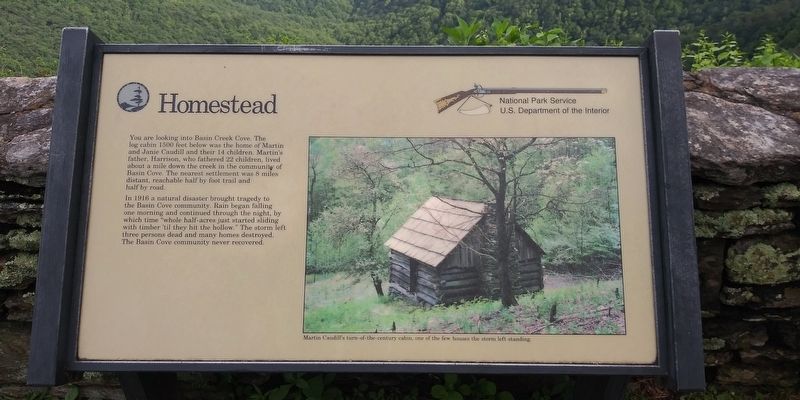
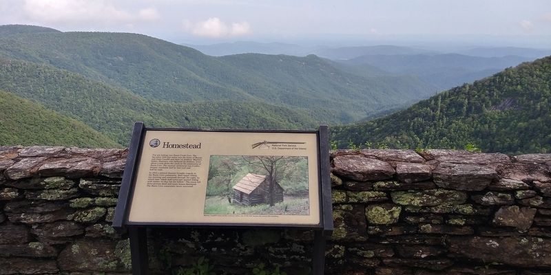
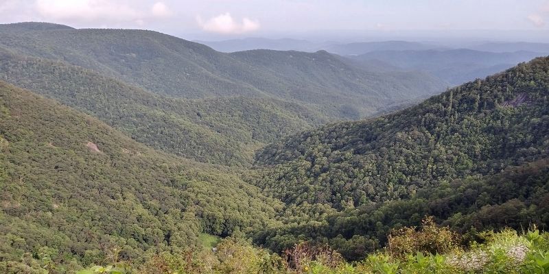
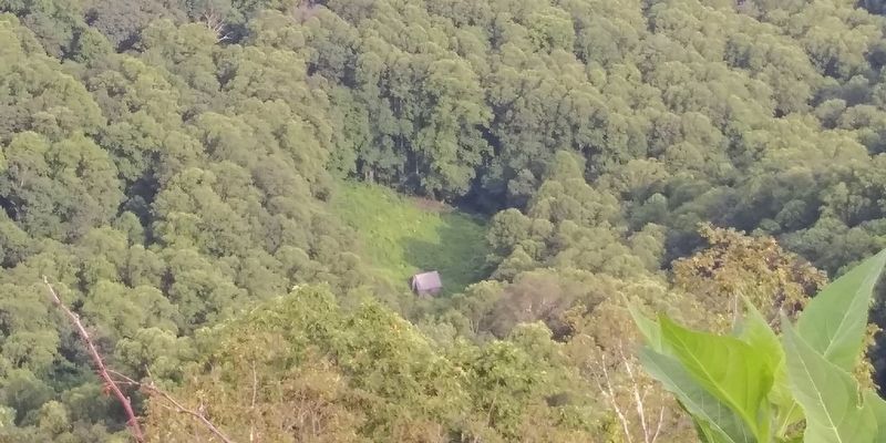
You are looking into Basin Creek Cove. The log cabin 1500 feet below was the home of Martin and Janie Caudill and their 14 children. Martin's father, Harrison, who fathered 22 children, lived about a mile down the creek in the community of Basin Cove. The nearest settlement was 8 miles distant, reachable half by foot trail and half by road.
In 1916 a natural disaster brought tragedy to the Basin Cove community. Rain began falling one morning and continued through the night, by which time "whole half-acres just started sliding with timber 'til they hit the hollow." The storm left three persons dead and many homes destroyed. The Basin Cove community never recovered.
[Caption:]
Martin Caudill's turn-of-the-century cabin, one of the few houses the storm left standing.
Erected by National Park Service, U.S. Department of the Interior.
Topics. This historical marker is listed in these topic lists: Architecture • Disasters • Settlements & Settlers.
Location. 36° 25.788′ N, 81° 10.505′ W. Marker is in Laurel Springs, North Carolina, in Alleghany County. It
this page online

Regionally, this marker is in North Carolina’s and he Mountains in the High Country. It is also in the American South, specifically in the Upper South, in Appalachia, and specifically in Southern Appalachia. Globally, it is in North America, the Western Hemisphere, the Western World, and the Anglosphere. Historically, it finds itself in what was once the original Cherokee Nation, the territory of the Mississippian Culture, one of the original Thirteen Colonies, one of the Confederate States of America, and the Antebellum South.
Other nearby markers. At least 8 other markers are within 2 miles of this marker, measured as the crow flies: Robert Lee Doughton (within shouting distance of this marker); The Brinegar Family (approx. 1.8 miles away); Brinegar Cabin (approx. 1.8 miles away); Making Linsey-Woolsey (approx. 1.8 miles away); A Mountain Home (approx. 1.8 miles away); An Outdoor Pantry (approx.
Photographed by Craig Doda, July 24, 2020
2. Homestead Marker
Also see . . . Blue Ridge Parkway NC, VA. National Park Service (Submitted on December 8, 2020.)
Photographed by Craig Doda, July 24, 2020
3. Wildcat Rock Overlook
Photographed by Craig Doda, July 24, 2020
4. Martin and Janie Caudill Cabin
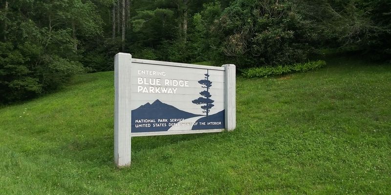
Photographed by Craig Doda, July 24, 2020
5. Blue Ridge Parkway Enterance Sign
Credits. This page was last revised on July 21, 2026. It was originally submitted on December 8, 2020, by Craig Doda of Napoleon, Ohio. This page has been viewed 712 times since then and 41 times this year. Last updated on July 20, 2026, by Mark Parker of Hickory, North Carolina. Photos: 1, 2, 3, 4, 5. submitted on December 8, 2020, by Craig Doda of Napoleon, Ohio. • Devry Becker Jones was the editor who published this page.
