
Douglas City in Trinity County, California — The American West (Pacific Coastal)
The Seven Bridges of Douglas City
Photographed by Harry Contos
1. THE SEVEN BRIDGES OF DOUGLAS CITY Marker
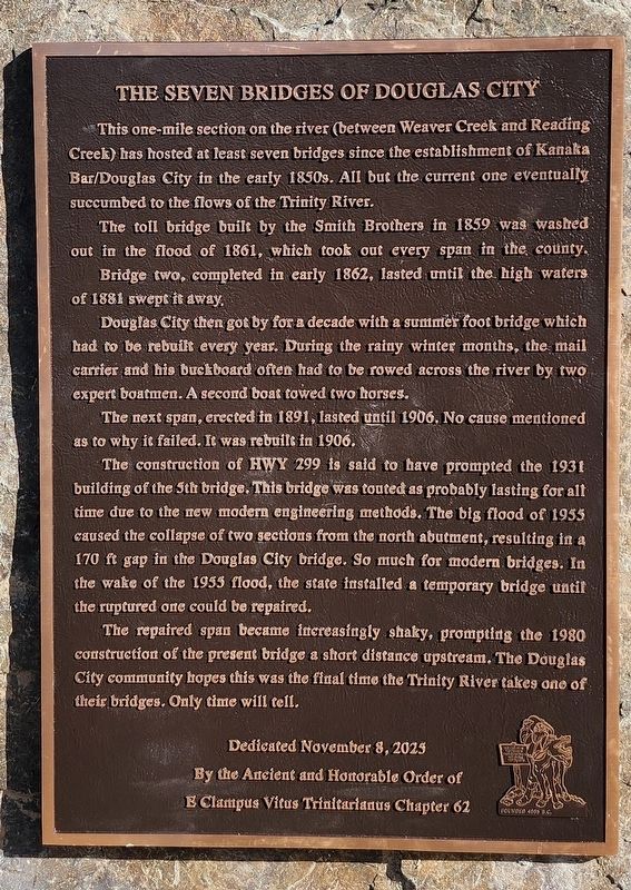
This one-mile section on the river (between Weaver Creek and Reading Creek) has hosted at least seven bridges since the establishment of Kanaka Bar/Douglas City in the early 1850s. All but the current one eventually succumbed to the flows of the Trinity River.
The toll bridge built by the Smith Brothers in 1859 was washed out in the flood of 1861, which took out every span in the county. Bridge two, completed in early 1862, lasted until the high waters of 1881 swept it away.
Douglas City then got by for a decade with a summer foot bridge which had to be rebuilt every year. During the rainy winter months, the mail carrier and his buckboard often had to be rowed across the river by two expert boatmen. A second boat towed two horses.
The next span, erected in 1891, lasted until 1906. No cause mentioned as to why it failed. It was rebuilt in 1906.
The construction of HWY 299 is said to have prompted the 1931 building of the 5th bridge. This bridge was touted as probably lasting for all time due to the new modern engineering methods. The big flood of 1955 caused the collapse of two sections from the
this page online
The repaired span became increasingly shaky, prompting the 1980 construction of the present bridge a short distance upstream. The Douglas City community hopes this was the final time the Trinity River takes one of their bridges. Only time will tell.
Dedicated November 8, 2025
By the Ancient and Honorable Order of
E Clampus Vitus Trinitarianus Chapter 62
Erected 2025.
Topics and series. This historical marker is listed in this topic list: Bridges & Viaducts. In addition, it is included in the E Clampus Vitus series list. A significant historical year for this entry is 1859.
Location. 40° 39.121′ N, 122° 56.586′ W. Marker is in Douglas City, California, in Trinity County. It is on Riverview Road, on the right when traveling north. The marker is located by the Douglas City fire station. Touch for map. Marker is in this post office area: Douglas City CA 96024, United States of America. Touch for directions.

Regionally, this marker is in California’s Shasta Cascade, on the Coast Ranges, and in the Klamath Mountains. It is also in the American Mountain West and specifically in the Pacific Northwest. Globally, it is in North America, on the Ring of Fire, in the Pacific Rim, in the Western Hemisphere, in the Western World, and in the Anglosphere. Historically, it finds itself in what was once New Spain and also Mexico’s Alta California.
Other nearby markers. At least 8 other markers are within 6 miles of this marker, measured as the crow flies: Reading’s Bar (approx. 0.9 miles away); Steel Bridge (approx. 2 miles away); Lowden’s Wagon Road (approx. 3.1 miles away); Race Track – Airport – Golf Course (approx. 4.8 miles away); Hamilton’s Store (approx. 4.8 miles away); Lee Family Ranch House (approx. 5.4 miles away); Isabella Hoffman Martin - Queen of Grudges (approx. 5.4 miles away); Paymaster Mine Stampmill (approx. 5.4 miles away). Touch for a list and map of all markers in Douglas City.
Credits. This page was last revised on July 21, 2026. It was originally submitted on July 21, 2026, by Harry Contos of Weaverville, California. This page has been viewed 13 times since then. Photo 1. submitted on July 21, 2026, by Harry Contos of Weaverville, California. • Andrew Ruppenstein was the editor who published this page.
Editor’s want-list for this marker. Photo of the marker within its surroundings • Can you help?
