Near Campobello in Spartanburg County, South Carolina — The American South (South Atlantic)
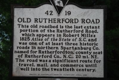
Old Rutherford Road
This old roadbed is the last extant portion of the Rutherford Road, which appears in Robert Mills's 1825 Atlas of the State of S.C. and was one of at least three historic roads in northern Spartanburg Co. named for Rutherfordton, county seat of Rutherford Co., N.C., 20 mi. NE. The road was a significant route for travel, mail, and commerce until well into the twentieth century.
Erected 2000 by Campobello-Gramling Elementary School. (Marker Number 42-19.)
Topics. This historical marker is listed in this topic list: Roads & Vehicles. A significant historical year for this entry is 1825.
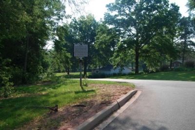
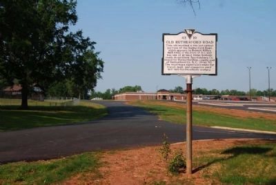
Location. 35° 6.186′ N, 82° 8.58′ W. Marker is near Campobello, South Carolina, in Spartanburg County. Marker is on Fagan Avenue, 0.1 miles west of Asheville Highway (U.S. 176), on the right when traveling west. Touch for map. Marker is in this post office area: Campobello SC 29322, United States of America. Touch for directions.
Other nearby markers. At least 10 other markers are within 6 miles of this marker, measured as the crow flies. Cherokee Foothills (approx. 4.2 miles away); Inman Veterans Monument (approx. 4.8 miles away); Holly Springs Baptist Church (approx. 5.3 miles away); Holly Springs School (approx. 5.3 miles away); Holly Springs Rock Wall (approx. 5.3 miles away); Holly Springs (approx. 5.3 miles away); Wolfe Creek Baptist Church (approx. 5.7 miles away); B. Frank Carruth (approx. 5.7 miles away); Earle's Ford and Fort (approx. 5.7 miles away); Lake Bowen (approx. 5.8 miles away).
Also see . . .
1. David Rumsey Map Collection. Contains Mill's map of Spartanburgh District that can be enlarged for viewing. Rutherford Road is located in the northwest corner of the map. (Submitted on May 11, 2010, by Michael Sean Nix of Spartanburg, South Carolina.)
2. Robert Mills. Robert Mills (August 12, 1781 – March 3, 1855) is sometimes called the first native born American to become a professional architect, though Charles Bulfinch perhaps has a clearer claim to this honor. (Submitted on May 22, 2011, by Brian Scott of Anderson, South Carolina.)
Credits. This page was last revised on June 16, 2016. It was originally submitted on May 11, 2010, by Michael Sean Nix of Spartanburg, South Carolina. This page has been viewed 1,247 times since then and 59 times this year. Photos: 1, 2. submitted on May 11, 2010, by Michael Sean Nix of Spartanburg, South Carolina. 3, 4. submitted on May 22, 2011, by Brian Scott of Anderson, South Carolina. • Kevin W. was the editor who published this page.


