Near Charleston in Charleston County, South Carolina — The American South (South Atlantic)
Holding the Fort
Daily dispatches from Fort Sumter in 1863 tell of the struggle:
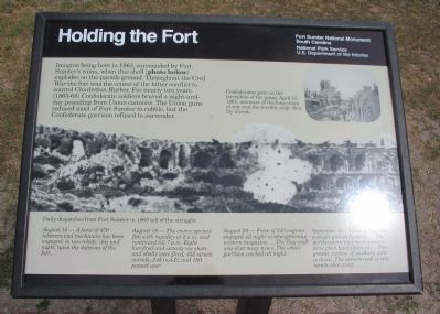
August 14 - A force of 470 laborers and mechanics has been engaged, in two reliefs, day and night, upon the defenses of the fort...
August 18 - The enemy opened fire with rapidity at 5 a.m. and continued till 7 p.m. Eight hundred and seventy-six shots and shells were fired; 452 struck outside, 244 inside, and 180 passed over.
August 24 - Force of 210 negros engaged all night in strengthening western magazine.... The flag-staff was shot away twice. The whole garrison worked all night.
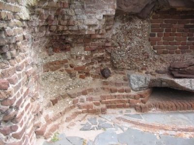
September 4 - There is now not a single gun en barbette .... The northeastern and northwestern terre plein have fallen in... The greater portion of southern wall is down. The eastern wall is very nearly shot away....
Erected by Fort Sumter National Monument, South Carolina - National Park Service - U.S. Department of the Interior.
Topics. This historical marker is listed in these topic lists: Forts and Castles • War, US Civil. A significant historical year for this entry is 1863.
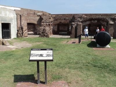
Location. 32° 45.157′ N, 79° 52.493′ W. Marker is near Charleston, South Carolina, in Charleston County. Marker is located at Fort Sumter National Monument and only reached by boat. See links below for more information about access to the site. Touch for map. Marker is in this post office area: Charleston SC 29412, United States of America. Touch for directions.
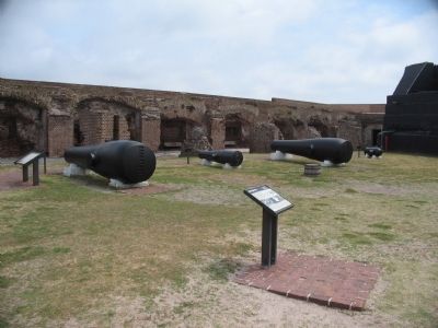
Other nearby markers. At least 8 other markers are within walking distance of this marker. 15-Inch Rodman (a few steps from this marker); Arming the Fort (a few steps from this marker); Mining Casemate (a few steps from this marker); 8-Inch Columbiad (a few steps from this marker); 42-Pounder, Banded and Rifled (a few steps from this marker); Fort Sumter Today (a few steps from this marker); 10-Inch Mortar, Model 1819 (a few steps from this marker); Fort Sumter 1861-65 (a few steps from this marker). Touch for a list and map of all markers in Charleston.
More about this marker. On the upper right is a photo showing the fort in 1861. Confederates pose on the terreplein of the gorge, April 15, 1861, unaware of the long years of war and the terrible siege that lay ahead. Across the center of the marker is a wartime photo showing the destruction from an interior view of the fort.
Also see . . . Fort Sumter. The National Park Service web site offers many documents detailing the fort's history and role IN history. (Submitted on May 11, 2010, by Craig Swain of Leesburg, Virginia.)
Credits. This page was last revised on October 27, 2020. It was originally submitted on May 11, 2010, by Craig Swain of Leesburg, Virginia. This page has been viewed 958 times since then and 42 times this year. Photos: 1. submitted on May 11, 2010, by Craig Swain of Leesburg, Virginia. 2. submitted on August 4, 2013, by Bill Coughlin of Woodland Park, New Jersey. 3, 4. submitted on May 11, 2010, by Craig Swain of Leesburg, Virginia.


