Near Porter in Porter County, Indiana — The American Midwest (Great Lakes)
The Bailly Homestead
Photographed by Connor Olson, November 4, 2024
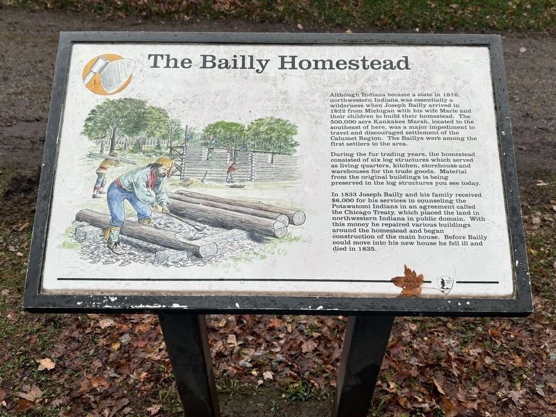
1. The Bailly Homestead Marker
Although Indiana became a state in 1816, northwestern Indiana was essentially a wilderness when Joseph Bailly arrived in 1822 from Michigan with his wife Marie and their children to build their homestead. The 500,000 acre Kankakee Marsh, located to the southeast of here, was a major impediment to travel and discouraged settlement of the Calumet Region. The Baillys were among the first settlers to the area.
During the fur trading years, the homestead consisted of six log structures which served as living quarters, kitchen, storehouse and warehouses for the trade goods. Material from the original buildings is being preserved in the log structures you see today.
In 1833 Joseph Bailly and his family received $6,000 for his services in counseling the Potawatomi Indians in an agreement called the Chicago Treaty, which placed the land in northwestern Indiana in public domain. With this money he repaired various buildings around the homestead and began construction of the main house. Before Bailly could move into his new house he fell ill and died in 1835.
Erected by National Park Service, U.S. Department of the
this page online
Topics. This historical marker is listed in this topic list: Settlements & Settlers. A significant historical year for this entry is 1816.
Location. Marker is missing. It was located near 41° 37.394′ N, 87° 5.661′ W. Marker was near Porter, Indiana, in Porter County. It could be reached from Howe Road just south of County Road 1350N, on the right when traveling north. The marker stands on the grounds of the Indiana Dunes National Park Bailly Homestead. Touch for map. Marker was at or near this postal address: 733 Howe Road, Chesterton IN 46304, United States of America. Touch for directions.

Regionally, this marker was in Northwest Indiana, specifically on the Indiana Dunes and Lake Michigan Shore, and in the Calumet Region. It was also in the American Midwest and in the Corn Belt. Globally, it was in North America, on the Great Lakes, in the Western Hemisphere, in the Western World, and in the Anglosphere. Historically, it found itself in what was once the territory of the Mississippian Culture and also the Northwest Territory.
Other nearby markers. At least 8 other markers are within 2 miles of this location,
Photographed by Connor Olson, November 4, 2024
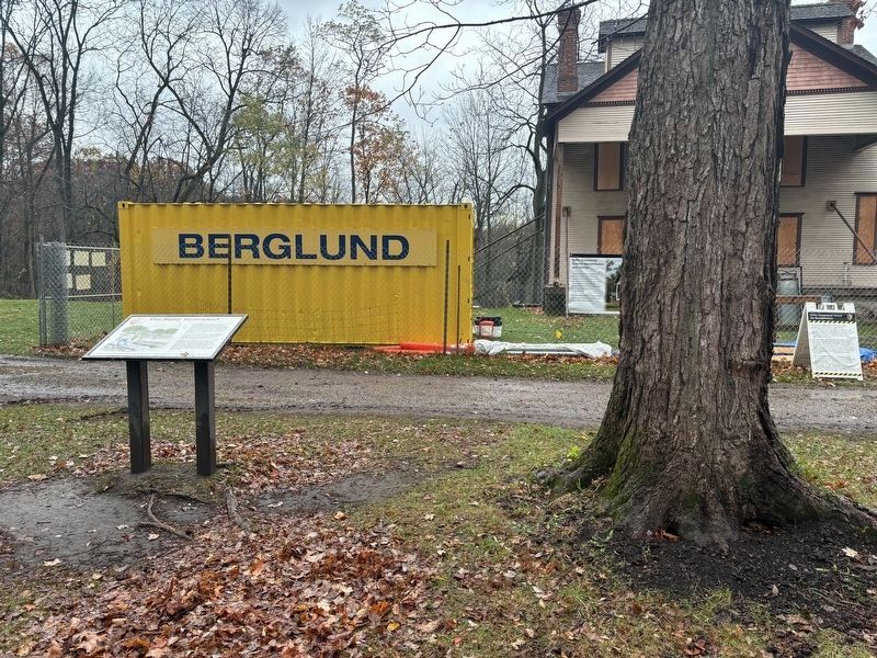
2. The Bailly Homestead Marker
Another marker is no longer nearby. Highways of the Past (was within shouting distance of this marker but has been confirmed missing).

Photographed by Daniel Barriball, July 21, 2026
3. The Bailly Homestead Marker missing
The marker had been to the left of the tree.
Credits. This page was last revised on July 30, 2026. It was originally submitted on November 5, 2024, by Connor Olson of Menomonee Falls, Wisconsin. This page has been viewed 241 times since then and 71 times this year. Last updated on July 21, 2026, by Daniel Barriball of Chesterton, Indiana. Photos: 1, 2. submitted on November 5, 2024, by Connor Olson of Menomonee Falls, Wisconsin. 3. submitted on July 21, 2026, by Daniel Barriball of Chesterton, Indiana. • Devry Becker Jones was the editor who published this page.
