Dade City in Pasco County, Florida — The American South (South Atlantic)
Sacred Heart Catholic Church
Photographed by Fr. Len Plazewski
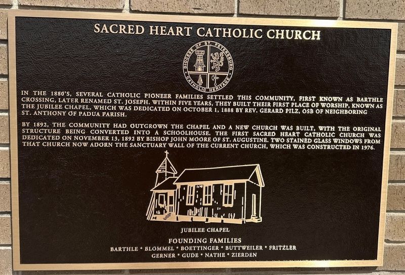
1. Sacred Heart Catholic Church Marker
By 1892, the community had outgrown the chapel and a new church was built, with the original structure being converted into a schoolhouse. The first Sacred Heart Catholic Church was dedicated on November 13, 1892 by Bishop John Moore of St. Augustine. Two stained glass windows from that church now adorn the sanctuary wall of the current church, which was constructed in 1976.
Founding Families
Barthle * Blommel * Boettinger * Buttweiler * Fritzler * Gerner * Gude * Nathe * Zierden
Erected 2025 by Diocese of St. Petersburg.
Topics. This historical marker is listed in these topic lists: Religion & Religious Structures • Settlements & Settlers. A significant historical year for this entry is 1892.
Location. 28° 22.583′ N, 82° 17.025′ W. Marker is in Dade City, Florida, in Pasco County.
this page online

Regionally, this marker is on the Gulf Coast and on Tampa Bay. It is also in the American South and on the Gulf Coast. Globally, it is in the North Atlantic Region, North America, a Gulf of Mexico state, the Western Hemisphere, the Western World, and the Anglosphere. Historically, it finds itself in what was once New Spain, the territory of the Mississippian Culture, one of the Confederate States of America, and the Antebellum South.
Other nearby markers. At least 8 other markers are within 3 miles of this marker, measured as the crow flies: St. Joseph Community (within shouting distance of this marker); Chipco Township (approx. 1.6 miles away); San Antonio Railroad Depot (approx. 2.3 miles away); Veterans Memorial (approx. 2.8 miles away); City of San Antonio, Florida (approx. 2.9 miles
Photographed by Fr. Len Plazewski
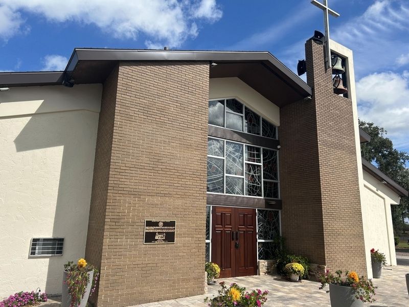
2. Sacred Heart Catholic Church
Also see . . . Sacred Heart Catholic Church. (Submitted on August 2, 2026.)
Photographed by Fr. Len Plazewski
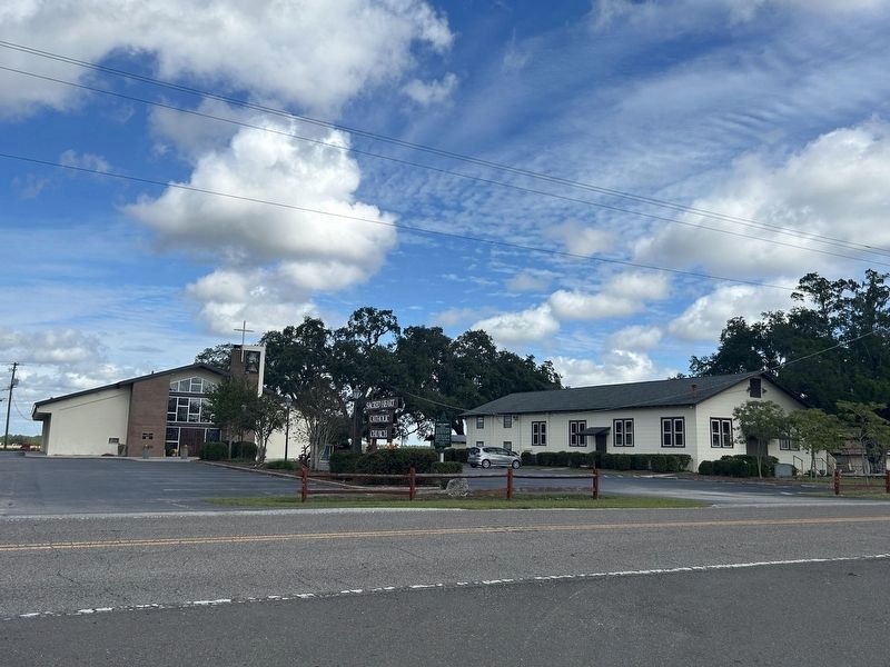
3. Sacred Heart Catholic Church
Credits. This page was last revised on August 2, 2026. It was originally submitted on July 21, 2026, by Fr. Len Plazewski of Tampa, Florida. This page has been viewed 23 times since then. Photos: 1, 2, 3. submitted on July 21, 2026, by Fr. Len Plazewski of Tampa, Florida. • Bernard Fisher was the editor who published this page.
