Toronto, Ontario — Central Canada (North America)
Rod Robbie Bridge
June 26, 2013

Photographed by Sean P. Flynn, July 17, 2026
1. Rod Robbie Bridge Marker
Erected 2013.
Topics. This historical marker is listed in these topic lists: Architecture • Sports. A significant historical year for this entry is 1928.
Location. 43° 38.595′ N, 79° 23.307′ W. Marker is in Toronto, Ontario. It can be reached from Front Street West south of John Street. The marker is on the bridge to the northeast side of the Rogers Centre. Touch for map. Marker is in this post office area: Toronto ON M5V 3G7, Canada. Touch for directions.

Regionally, this marker is in Greater Toronto and on the Golden Horseshoe. It is also in Central Canada. Globally, it is in North America, on the Great Lakes, in the Western Hemisphere, in the Western World, and in the Anglosphere. Historically, it finds itself in what was once a British colony, the Viceroyalty of
this page online
Other nearby markers. At least 8 other markers are within walking distance of this marker: 25 Years of Blue Jays Baseball (a few steps from this marker); Isabella Valancy Crawford (within shouting distance of this marker); Glenn Gould (about 120 meters away, measured in a direct line); National Farm Radio Forum / Le National Farm Radio Forum (about 150 meters away); Fanny “Bobbie” Rosenfeld (about 180 meters away); Brotherhood of Sleeping Car Porters (about 240 meters away); Reinhart Vinegars RVLX 101 (approx. 0.2 kilometers away); Toronto Locomotive and Car Facilities of the Canadian Pacific Railway (approx. 0.3 kilometers away). Touch for a list and map of all markers in Toronto.
Also see . . . Rod Robbie: The Revolutionary Architect Responsible For Many Of Toronto’s Iconic Buildings. From the ContactComplete blog. (Submitted on July 22, 2026, by Sean P. Flynn of Oak Park, Illinois.)
Photographed by Sean P. Flynn, July 17, 2026
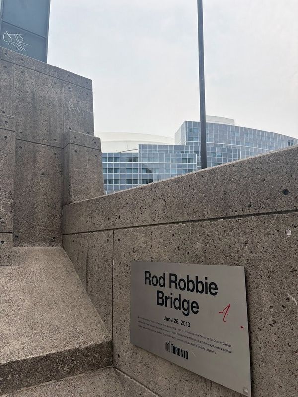
2. Rod Robbie Bridge Marker
Rogers Centre (originally known as SkyDome) is in the rear.

Photographed by Sean P. Flynn, July 17, 2026
3. Rod Robbie Bridge
Credits. This page was last revised on July 22, 2026. It was originally submitted on July 22, 2026, by Sean P. Flynn of Oak Park, Illinois. This page has been viewed 12 times since then. Photos: 1, 2, 3. submitted on July 22, 2026, by Sean P. Flynn of Oak Park, Illinois.
