Goderich in Huron County, Ontario — Central Canada (North America)
The Cottages
| — | Goderich Marine Heritage Walkway | — |

Photographed by Tim Boyd, July 15, 2026
1. The Cottages Marker
Two of the cottages adjacent to the lighthouse were known as the "Craigie Cottages". They originated as the lighthouse keepers' buildings once attached to the lighthouse itself. Relocated in 1914, they were painted dark green to mask their former role when they had been decked out in brighter reds and whites.
Judge Edward N. Lewis, who lived in the large yellow brick home on Essex Street between Picton Street and Elgin Avenue, owned the land along the Essex Street bluff. About 1900 he began erecting cottages. To reflect each unique design or location, he gave them names such as 'Wigwam', 'Gun Club', 'Verandah' and 'Cliff". Two across from his home had been the original Buffalo and Lake Huron Railway (later Grand Trunk)
this page online
Topics. This historical marker is listed in this topic list: Architecture. A significant historical year for this entry is 1914.
Location. 43° 44.361′ N, 81° 43.455′ W. Marker is in Goderich, Ontario, in Huron County. It is at the intersection of Essex Street and Britannia Road West, on the right when traveling south on Essex Street. Touch for map. Marker is at or near this postal address: 90 Essex Street, Goderich ON N7A 3X3, Canada. Touch for directions.

Regionally, this marker is in the Huron-Perth-Waterloo-Wellington Area and in Southwestern Ontario. It is also in Central Canada. Globally, it is in North America, on the Great Lakes, in the Western Hemisphere, in the Western World, and in the Anglosphere. Historically, it finds itself in what
Photographed by Tim Boyd, July 15, 2026
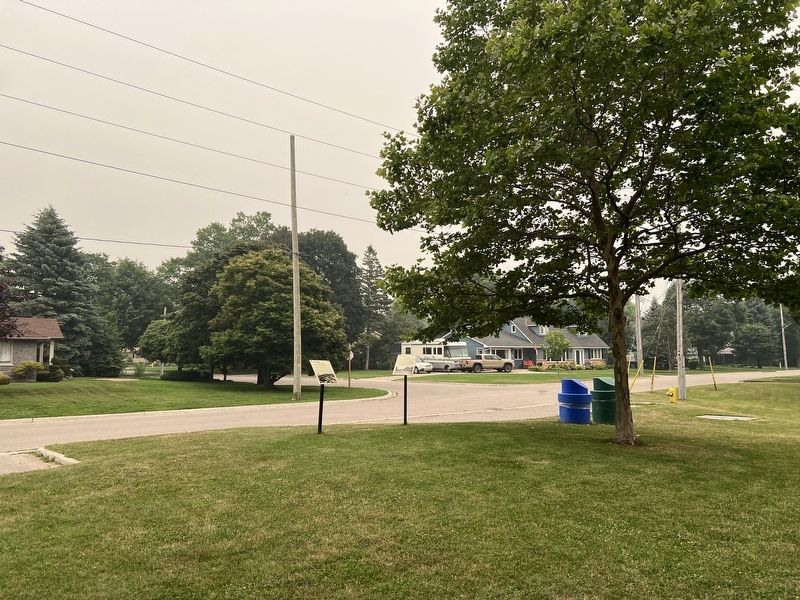
2. The Cottages Marker
On the right
Other nearby markers. At least 8 other markers are within walking distance of this marker: The Sunset Hotel (here, next to this marker); The Boneyard (approx. 0.2 kilometers away); Goderich Lighthouse (approx. 0.3 kilometers away); Port of Goderich Lighthouse (approx. 0.3 kilometers away); The Great Storm of 1913 (approx. 0.4 kilometers away); Canadian Pacific Railroad Roundhouse (approx. 0.4 kilometers away); The Canadian Pacific Railway Station (approx. 0.4 kilometers away); Former Canadian Pacific Railway Station (approx. 0.4 kilometers away). Touch for a list and map of all markers in Goderich.
Credits. This page was last revised on July 23, 2026. It was originally submitted on July 22, 2026, by Tim Boyd of Hamilton, Ontario. This page has been viewed 8 times since then. Photos: 1, 2. submitted on July 22, 2026, by Tim Boyd of Hamilton, Ontario. • Andrew Ruppenstein was the editor who published this page.
