Peterborough, England, United Kingdom — Northwestern Europe (the British Isles)
Age of Steam
Photographed by Ray Gurganus, May 3, 2026
1. Age of Steam Marker
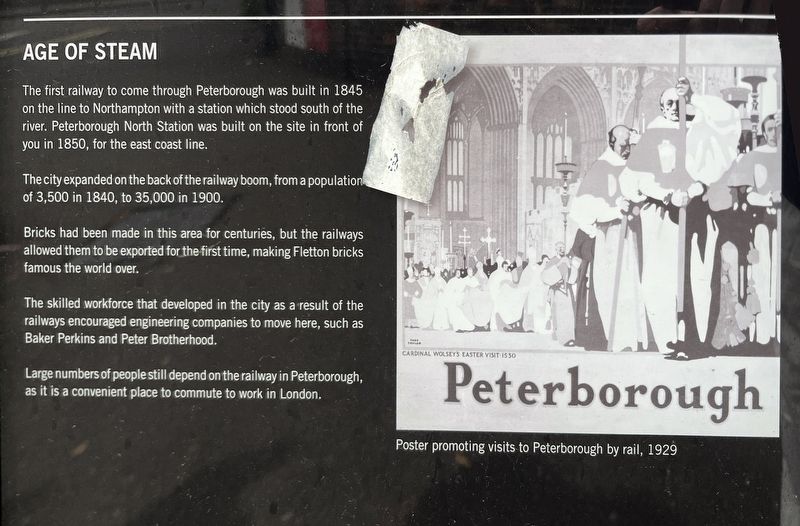
The city expanded on the back of the railway boom, from a population of 3,500 in 1840, to 35,000 in 1900.
Bricks had been made in this area for centuries, but the railways allowed them to be exported for the first time, making Fletton bricks famous the world over.
The skilled workforce that developed in the city as a result of the railways encouraged engineering companies to move here, such as Baker Perkins and Peter Brotherhood.
Large numbers of people still depend on the railway in Peterborough, as it is a convenient place to commute to work in London.
Topics. This historical marker is listed in this topic list: Railroads & Streetcars. A significant historical year for this entry is 1845.
Location. 52° 34.461′ N, 0° 14.963′ W. Marker is in Peterborough, England. It is on Station Road, on the right when traveling north. Touch for map. Marker is at or near this postal address:
this page online

Regionally, this marker is in East Anglia. Globally, it is on the Atlantic Ocean, in the North Atlantic Region, in Europe, in Atlantic Europe, on one of the British Isles, in the Western World, and in the Anglosphere. Historically, it finds itself in what was once the Roman Empire.
Other nearby markers. At least 8 other markers are within walking distance of this marker: Railway Town (about 90 meters away, measured in a direct line); Historic Peterborough (approx. 0.2 kilometers away); Body Snatchers and Olympians (approx. 0.2 kilometers away); Street of Cows (approx. 0.4 kilometers away); The Guildhall (approx. half a kilometer away); Markets and Monarchs (approx. half a kilometer away); St Thomas Becket (approx. half a kilometer away); Abbey and Cathedral (approx. half a kilometer away). Touch for a list and map of all markers in Peterborough.
Credits. This page was last revised on July 22, 2026. It was originally submitted on July 22, 2026, by Ray Gurganus of Washington, District of Columbia. This page has been viewed 8 times since then. Photo 1. submitted on July 22, 2026, by Ray Gurganus of Washington, District of Columbia. • Andrew Ruppenstein was the editor who published this page.
Editor’s want-list for this marker. photo of the marker within its surroundings • Can you help?
