Echo in Summit County, Utah — The American Mountains (Southwest)
Echo Church and School
Utah Historic Site
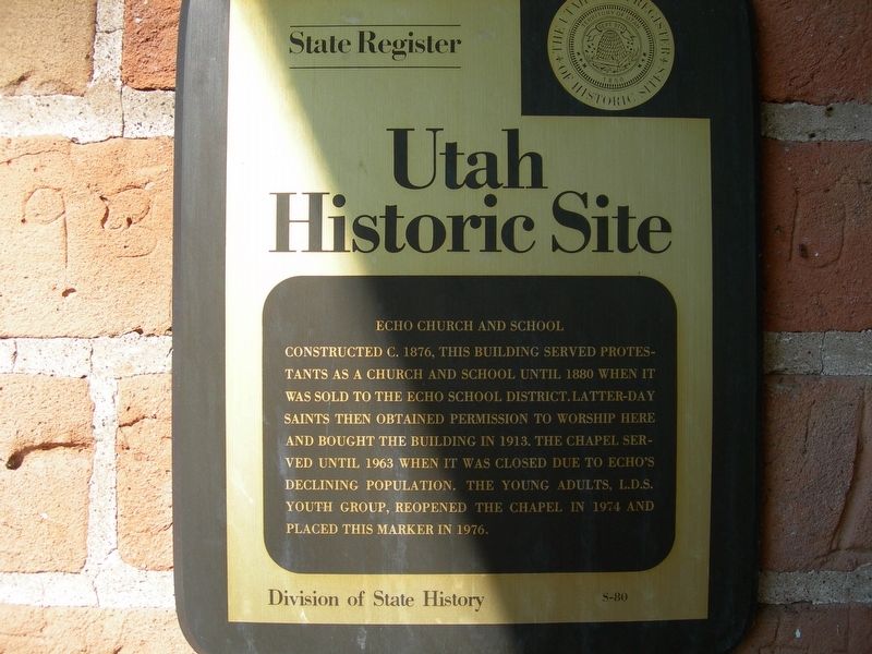
Photographed by Jimmy Emerson, July 15, 2009
1. Echo Church and School Marker
Erected 1976 by Division of State History. (Marker Number S-80.)
Topics and series. This historical marker is listed in these topic lists: Education • Religion & Religious Structures. In addition, it is included in the Utah Historic Sites (NRHP) series list. A significant historical year for this entry is 1876.
Location. 40° 58.711′ N, 111° 26.482′ W. Marker is in Echo, Utah, in Summit County. It is on East Temple Lane. Touch for map. Marker is at or near this postal address: 50 E Temple Lane, Echo UT 84024, United States of America. Touch for directions.

Regionally, this marker is in Utah’s Uinta Mountains, in the Wasatch Front, and in Greater Provo. It is also in the American Mountain West and on
this page online
Other nearby markers. At least 8 other markers are within 2 miles of this marker, measured as the crow flies: Echo School and Church (a few steps from this marker); Control of Influence (approx. ¼ mile away); Pulpit Rock (approx. ¼ mile away); Iron Rails and Silver Dreams (approx. ¼ mile away); The Battle of the Signs (approx. 0.4 miles away); Weber Pony Express Station (approx. 0.4 miles away); Temple Camp and Supplication Hills (approx. 0.6 miles away); Witch Rocks (approx. 1.4 miles away). Touch for a list and map of all markers in Echo.
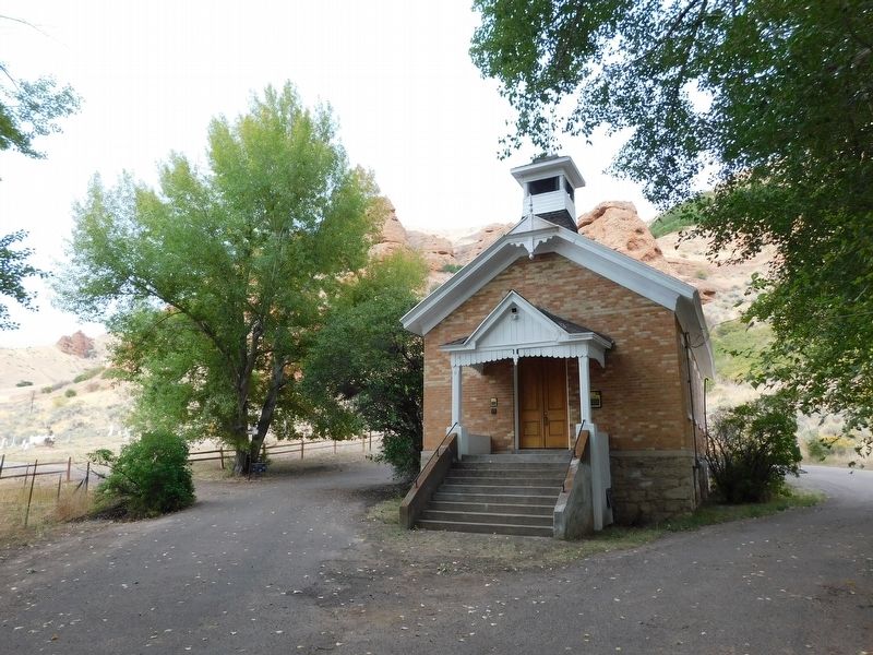
Photographed by Jimmy Emerson, September 18, 2020
2. Echo Church and School & Marker
This marker is to the left of the doors.
Credits. This page was last revised on July 22, 2026. It was originally submitted on July 22, 2026, by Jimmy Emerson of Dalton, Georgia. This page has been viewed 12 times since then. Photos: 1, 2. submitted on July 22, 2026, by Jimmy Emerson of Dalton, Georgia. • Andrew Ruppenstein was the editor who published this page.
