Goderich in Huron County, Ontario — Central Canada (North America)
Salt Brine Plants
| — | Goderich Marine heritage Walkway | — |
Photographed by Tim Boyd, July 15, 2026
1. Salt Brine Plants Marker
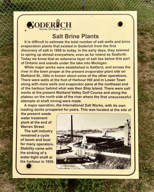
While major works were established in Saltford, and across the river in the town proper at the present evaporator plant site on Maitland St., little is known about some of the other operations. There were wells at the foot of Harbour Hill and in Lower Town along with more wells and evaporator pans at the northeast end of the harbour behind what was then Ship Island. There were salt works at the present Maitland Valley Golf Course and along the plateau on the north side of the river where the first unsuccessful attempts at shaft mining were made.
A major operation, the International Salt Works, with its own loading docks prospered for years. This was located at the site of the present waste water treatment plant at the end of Warren Street. The
this page online
Topics. This historical marker is listed in this topic list: Industry & Commerce. A significant historical year for this entry is 1866.
Location. 43° 44.602′ N, 81° 43.303′ W. Marker is in Goderich, Ontario, in Huron County. It is on Harbour Street 0.2 kilometers west of West Street, on the right when traveling west. Touch for map. Marker is at or near this postal address: 230 Harbour Street, Goderich ON N7A 2K2, Canada. Touch for directions.

Regionally, this marker is in the Huron-Perth-Waterloo-Wellington Area and in Southwestern Ontario. It is also in Central Canada. Globally, it is in North America, on the Great Lakes, in the Western Hemisphere, in the Western World, and in the Anglosphere. Historically, it finds itself in what was once a British colony, the Viceroyalty of New France, the Haudenosaunee (Iroquois) Confederacy, and Rupert’s Land.
Other nearby markers. At least 8 other markers are within walking distance of this marker: The Original Lighthouse (within
Photographed by Tim Boyd, July 15, 2026
2. Salt Brine Plants Marker
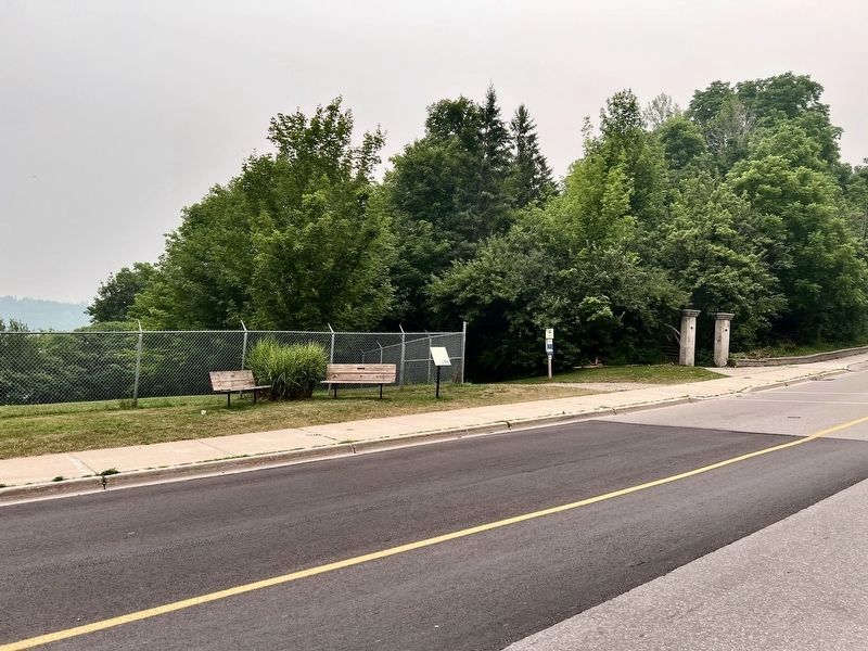
Facing east on Harbour Street
Credits. This page was last revised on July 23, 2026. It was originally submitted on July 23, 2026, by Tim Boyd of Hamilton, Ontario. This page has been viewed 11 times since then. Photos: 1, 2. submitted on July 23, 2026, by Tim Boyd of Hamilton, Ontario. • Andrew Ruppenstein was the editor who published this page.
