Goderich in Huron County, Ontario — Central Canada (North America)
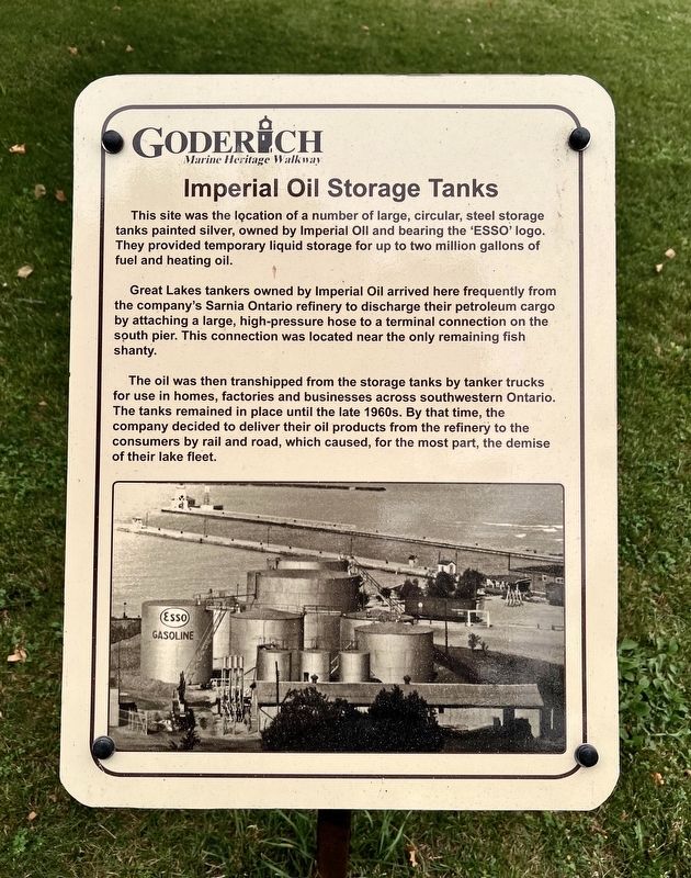
Imperial Oil Storage Tanks
| — | Goderich Waterfront Heritage Walkway | — |
Photographed by Tim Boyd, July 15, 2026
1. Imperial Oil Storage Tanks Marker
Great Lakes tankers owned by Imperial Oil arrived here frequently from the company's Sarnia Ontario refinery to discharge their petroleum cargo by attaching a large, high-pressure hose to a terminal connection on the south pier. This connection was located near the only remaining fish shanty.
The oil was then transhipped from the storage tanks by tanker trucks for use in homes, factories and businesses across southwestern Ontario. The tanks remained in place until the late 1960s. By that time, the company decided to deliver their oil products from the refinery to the consumers by rail and road, which caused, for the most part, the demise of their lake fleet.
Topics. This historical marker is listed in this topic list: Industry & Commerce.
Location. 43° 44.657′ N, 81° 43.489′ W. Marker is in Goderich, Ontario, in Huron County.
this page online

Regionally, this marker is in the Huron-Perth-Waterloo-Wellington Area and in Southwestern Ontario. It is also in Central Canada. Globally, it is in North America, on the Great Lakes, in the Western Hemisphere, in the Western World, and in the Anglosphere. Historically, it finds itself in what was once a British colony, the Viceroyalty of New France, the Haudenosaunee (Iroquois) Confederacy, and Rupert’s Land.
Other nearby markers. At least 8 other markers are within walking distance of this marker: The Waterworks (a few steps from this marker); The Goderich Elevators (within shouting distance of this marker); The Lower Town Community (within shouting distance of this marker); The Crab and Lee Families (within shouting distance of this marker); The Last Canadian Coal Fired Lake Freighter (within shouting distance of this marker); Menesetung Mineral Springs
Photographed by Tim Boyd, July 15, 2026
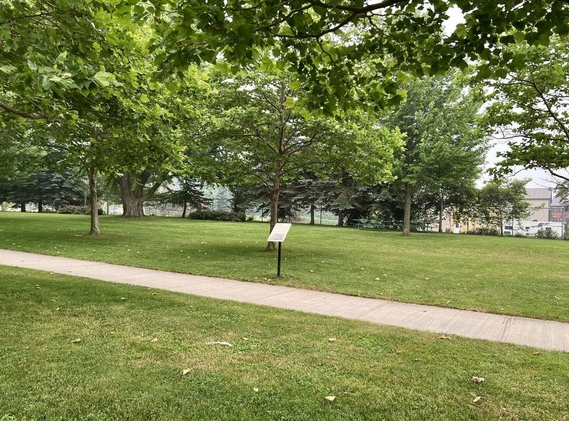
2. Imperial Oil Storage Tanks Marker
Photographed by Tim Boyd, July 15, 2026
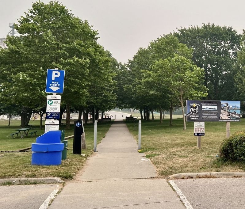
3. Imperial Oil Storage Tanks Marker
Marker is the first visible on the right of the walkway
Credits. This page was last revised on July 29, 2026. It was originally submitted on July 23, 2026, by Tim Boyd of Hamilton, Ontario. This page has been viewed 12 times since then. Photos: 1, 2, 3. submitted on July 23, 2026, by Tim Boyd of Hamilton, Ontario. • Andrew Ruppenstein was the editor who published this page.
