Goderich in Huron County, Ontario — Central Canada (North America)
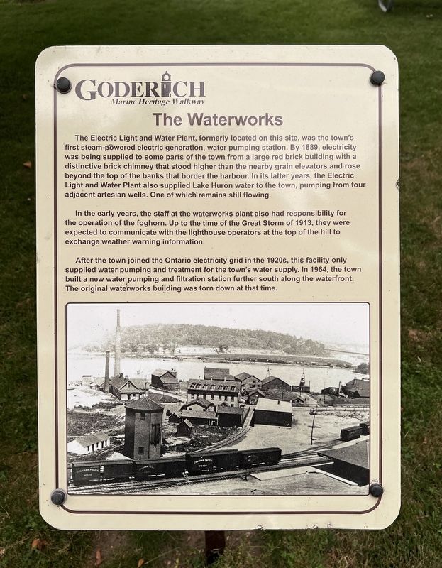
The Waterworks
| — | Goderich Marine Heritage Walkway | — |
Photographed by Tim Boyd, July 15, 2026
1. The Waterworks Marker
In the early years, the staff at the waterworks plant also had responsibility for the operation of the foghorn. Up to the time of the Great Storm of 1913, they were expected to communicate with the lighthouse operators at the top of the hill to exchange weather warning information.
After the town joined the Ontario electricity grid in the 1920s, this facility only supplied water pumping and treatment for the town's water supply. In 1964, the town built a new water pumping and filtration station further south along the waterfront. The original waterworks building
this page online
Topics. This historical marker is listed in this topic list: Industry & Commerce. A significant historical year for this entry is 1889.
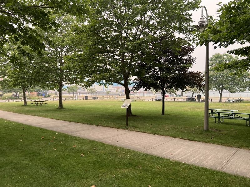
Location. 43° 44.654′ N, 81° 43.478′ W. Marker is in Goderich, Ontario, in Huron County. It is on Cove Road, on the right when traveling north. The marker is in a park between Cove Road and Beach Road. Touch for map. Marker is at or near this postal address: 1 Cove Rd, Goderich ON N7A 2K2, Canada. Touch for directions.

Regionally, this marker is in the Huron-Perth-Waterloo-Wellington Area and in Southwestern Ontario. It is also in Central Canada. Globally, it is in North America, on the Great Lakes, in the Western Hemisphere, in the Western World, and in the Anglosphere. Historically, it finds itself in what was once a British colony, the Viceroyalty of New France, the Haudenosaunee (Iroquois) Confederacy, and Rupert’s Land.
Other nearby markers. At least 8 other markers are within walking distance of this marker: The Goderich Elevators (a few steps from this marker); Imperial Oil Storage Tanks (a few steps from this marker); The Lower Town Community (a
Photographed by Tim Boyd, July 15, 2026
2. The Waterworks Marker
Photographed by Tim Boyd, July 15, 2026
3. The Waterworks Marker
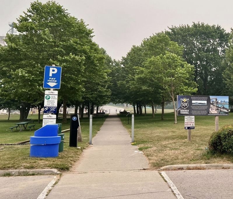
The marker is the first one on the left of the walkway
Credits. This page was last revised on July 27, 2026. It was originally submitted on July 23, 2026, by Tim Boyd of Hamilton, Ontario. This page has been viewed 20 times since then. Photos: 1, 2, 3. submitted on July 23, 2026, by Tim Boyd of Hamilton, Ontario. • Andrew Ruppenstein was the editor who published this page.
