Goderich in Huron County, Ontario — Central Canada (North America)
The Goderich Elevators
| — | Goderich Marine Heritage Walkway | — |
Photographed by Tim Boyd, July 15, 2026
1. The Goderich Elevators Marker
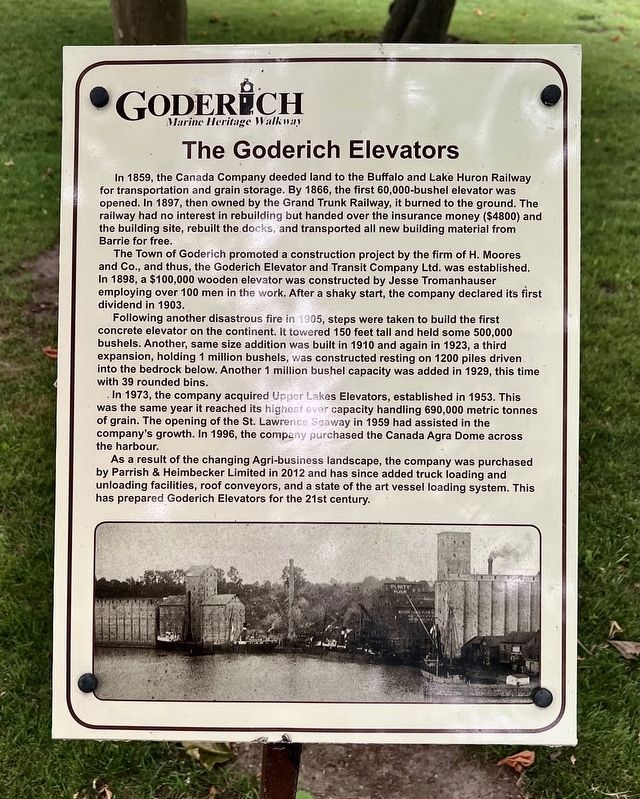
The Town of Goderich promoted a construction project by the firm of H. Moores and Co., and thus, the Goderich Elevator and Transit Company Ltd. was established. In 1898, a $100,000 wooden elevator was constructed by Jesse Tromanhauser employing over 100 men in the work. After a shaky start, the company declared its first dividend in 1903.
Following another disastrous fire in 1905, steps were taken to build the first concrete elevator on the continent. It towered 150 feet tall and held some 500,000 bushels. Another, same size addition was built in 1910 and again in 1923, a third expansion, holding 1 million bushels, was constructed resting on 1200 piles driven into the bedrock below. Another
this page online
In 1973, the company acquired Upper Lakes Elevators, established in 1953. This was the same year it reached its highest ever capacity handling 690,000 metric tonnes of grain. The opening of the St. Lawrence Seaway in 1959 had assisted in the company's growth. In 1996, the company purchased the Canada Agra Dome across the harbour.
As a result of the changing Agri-business landscape, the company was purchased by Parrish & Heimbecker Limited in 2012 and has since added truck loading and unloading facilities, roof conveyors, and a state of the art vessel loading system. This has prepared Goderich Elevators for the 21st century.
Topics. This historical marker is listed in this topic list: Industry & Commerce. A significant historical year for this entry is 1859.
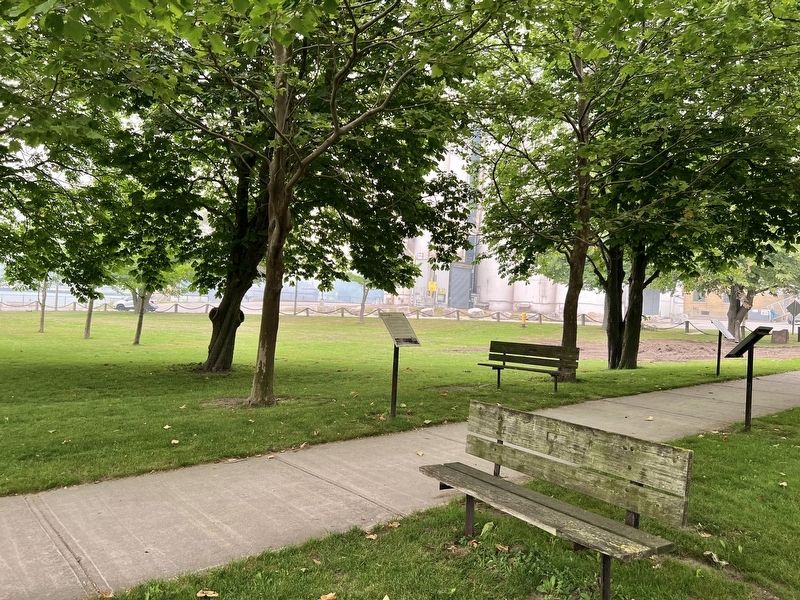
Location. 43° 44.65′ N, 81° 43.469′ W. Marker is in Goderich, Ontario, in Huron County. It is on Cove Road, on the right when traveling north. The marker is in a park between Cove road and Beach Road, first on the left when entering the park the park from Cove Road. Touch for map. Marker is at or near
Photographed by Tim Boyd, July 15, 2026
2. The Goderich Elevators Marker

Regionally, this marker is in the Huron-Perth-Waterloo-Wellington Area and in Southwestern Ontario. It is also in Central Canada. Globally, it is in North America, on the Great Lakes, in the Western Hemisphere, in the Western World, and in the Anglosphere. Historically, it finds itself in what was once a British colony, the Viceroyalty of New France, the Haudenosaunee (Iroquois) Confederacy, and Rupert’s Land.
Other nearby markers. At least 8 other markers are within walking distance of this marker: The Lower Town Community (here, next to this marker); The Crab and Lee Families (a few steps from this marker); The Waterworks (a few steps from this marker); Imperial Oil Storage Tanks (within shouting distance of this marker); The Last Canadian Coal Fired Lake Freighter (within shouting distance of this marker); Menesetung Mineral Springs (within shouting distance of this marker); The Ocean House Hotel (within shouting distance of this marker); Canada Company Piers (about 120 meters away, measured in a direct line). Touch for a list and map
Photographed by Tim Boyd, July 15, 2026
3. The Goderich Elevators Marker
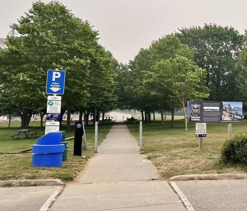
Marker is the first one on the left side of the walkway
Photographed by Tim Boyd, July 15, 2026
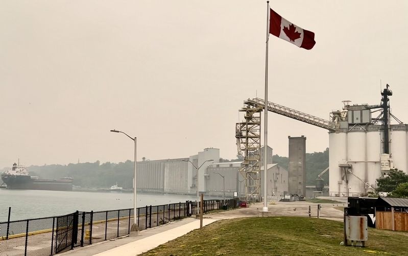
4. Goderich Harbour Elevators in 2026
Credits. This page was last revised on July 24, 2026. It was originally submitted on July 24, 2026, by Tim Boyd of Hamilton, Ontario. This page has been viewed 9 times since then. Photos: 1, 2, 3, 4. submitted on July 24, 2026, by Tim Boyd of Hamilton, Ontario. • Andrew Ruppenstein was the editor who published this page.
