Cooper Township near Kalamazoo in Kalamazoo County, Michigan — The American Midwest (Great Lakes)
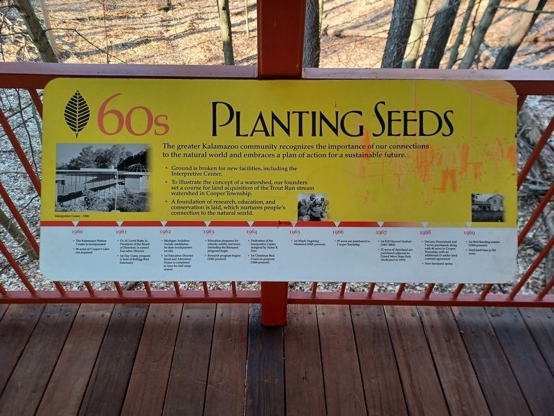
60s Planting Seeds
Photographed by Joel Seewald, March 4, 2026
1. 60s Planting Seeds Marker
The greater Kalamazoo community recognizes the importance of our connections to the natural world and embraces a plan of action for a sustainable future.
- Ground is broken for new facilities, including the Interpretive Center
- To illustrate the concept of a watershed, our founders set a course for land acquisition of the Trout Run stream watershed in Cooper Township.
- A foundation of research, education, and conservation is laid, which nurtures people's connection to the natural world.
• The Kalamazoo Nature Center is incorporated
• 85 acres of Cooper's Glen are acquired
1961
• Dr. H. Lewis Batts, Jr., President of the Board of Directors, is named Executive Director
• 1st Day Camp program is held at Kellogg Bird Sanctuary
1962
• Michigan Audubon Society establishes its state headquarters on-site
• 1st Education Director hired and Adventure House is completed for the 2nd camp season
1963
• Education programs for schools, adults, and teens (including the Barnyard program) begin
• Research program begins (1963-present)
1964
• Dedication of the Interpretive Center, designed by Alden B. Dow
•
this page online
1965
• 1st Maple Sugaring Weekend (1965-present)
1966
• 97 acres are purchased in Cooper Township
1967
• 1st Fall Harvest Festival (1967-2001)
• 22 acres of duneland are purchased adjacent to Grand Mere State Part (dedicated in 1973)
1968
• DeLano Homestead and 7 acres purchased, along with 40 acres in Cooper Township, with an additional 15 under land contract agreement
• New barnyard opens
1969
• 1st Bird Banding season (1969-present)
• Total land base is 521 acres
Left photo caption: Interpretive Center - 1960
Erected by Kalamazoo Nature Center.
Topics. This historical marker is listed in this topic list: Entertainment. A significant historical year for this entry is 1960.
Location. 42° 21.628′ N, 85° 34.995′ W. Marker is near Kalamazoo, Michigan, in Kalamazoo County. It is in Cooper Township. It can be reached from Westnedge Ave north of E Ave. Marker is on the bridge leading to the entrance of the visitor center. Touch for map. Marker is at or near this postal address: 7000 N Westnedge Ave, Kalamazoo MI 49009, United States of America. Touch for directions.

Regionally,
Photographed by Joel Seewald, March 4, 2026
2. 60s Planting Seeds Marker
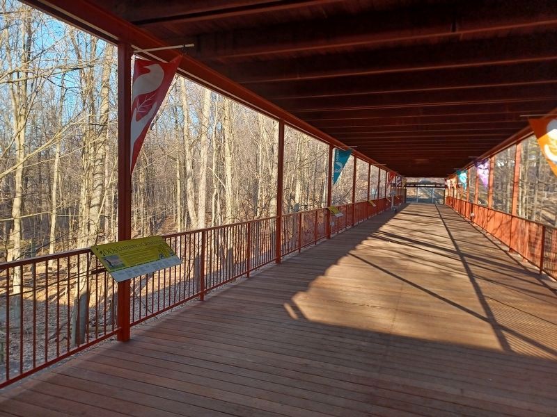
Photo taken from the entrance of the visitor center. This marker is the fifth one from the left (the one farthest away).
Other nearby markers. At least 8 other markers are within 4 miles of this marker, measured as the crow flies: 70s Spreading Our Roots (here, next to this marker); 80s Growing Strong (a few steps from this marker); 90s Branching Out (a few steps from this marker); 00s Cultivating a Green Future (within shouting distance of this marker); DeLano Homestead (approx. ¾ mile away); Cooper Congregational Church (approx. 1.8 miles away); Kindleberger Park (approx. 2.6 miles away); The Kalamazoo Region (approx. 3.8 miles away). Touch for a list and map of all markers in Kalamazoo.
Photographed by Joel Seewald, March 4, 2026
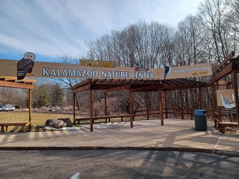
3. Kalamazoo Nature Center sign
Credits. This page was last revised on July 24, 2026. It was originally submitted on July 24, 2026, by Joel Seewald of Madison Heights, Michigan. This page has been viewed 12 times since then. Photos: 1, 2, 3. submitted on July 24, 2026, by Joel Seewald of Madison Heights, Michigan.
