Dahlonega in Lumpkin County, Georgia — The American South (South Atlantic)
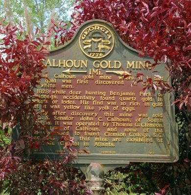
Calhoun Gold Mine
<--- 1 Mi ---<<<<
In 1828 while deer hunting Benjamin Parks, of Dahlonega, accidentally found quartz gold in pockets or lodes. His find was so rich in gold that it was yellow like yolk of eggs.
Shortly after discovery this mine was sold to U.S. Senator John C. Calhoun, of South Carolina. It was operated by Thomas G. Clemson, son-in-law of Calhoun, and some of the gold was used to found Clemson College, S.C. Specimens from this mine are exhibited at the State Capitol in Atlanta.
Erected 1953 by Georgia Historical Commission. (Marker Number 093-1.)
Topics and series. This historical marker is listed in these topic lists: Education • Government & Politics • Industry & Commerce. In addition, it is included in the Georgia Historical Society series list. A significant historical year for this entry is 1828.
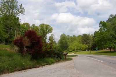
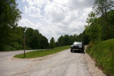
Location. 34° 29.305′ N, 83° 58.387′ W. Marker is in Dahlonega, Georgia, in Lumpkin County. Marker is at the intersection of U.S. 19 and Calhoun Gold Mine Road, on the right on U.S. 19. Touch for map. Marker is in this post office area: Dahlonega GA 30533, United States of America. Touch for directions.
Other nearby markers. At least 8 other markers are within 3 miles of this marker, measured as the crow flies. Findley Ridge (approx. 2.4 miles away); The Station (approx. 2.7 miles away); Stamp Mill (approx. 2.7 miles away); Madeleine Kiker Anthony (approx. 2.7 miles away); Mt. Hope Cemetery (approx. 2.8 miles away); Seven Oaks (approx. 3 miles away); William Pierce Price (approx. 3 miles away); Price Memorial Building (approx. 3 miles away). Touch for a list and map of all markers in Dahlonega.
Regarding Calhoun Gold Mine. The site of the mine is on private property.
Credits. This page was last revised on November 16, 2019. It was originally submitted on May 13, 2010, by David Seibert of Sandy Springs, Georgia. This page has been viewed 1,858 times since then and 53 times this year. Photos: 1, 2, 3. submitted on May 13, 2010, by David Seibert of Sandy Springs, Georgia. • Kevin W. was the editor who published this page.


