Acworth in Cobb County, Georgia — The American South (South Atlantic)
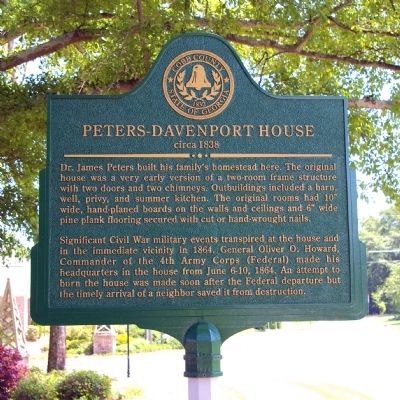
Peters-Davenport House
circa 1838
Significant Civil War military events transpired at the house and in the immediate vicinity in 1864. General Oliver O. Howard, Commander of the 4th Army Corps (Federal) made his headquarters in the house from June 6-10, 1864. An attempt to burn the house was made soon after the Federal departure but the timely arrival of a neighbor saved it from destruction.
Erected 2008 by Cobb County, Georgia.
Topics and series. This historical marker is listed in these topic lists: Architecture • Settlements & Settlers • War, US Civil. In addition, it is included in the Historically Black Colleges and Universities series list. A significant historical month for this entry is June 1828.
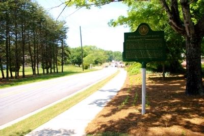
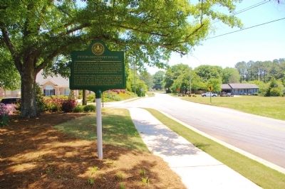
Location. 34° 2.007′ N, 84° 41.333′ W. Marker is in Acworth, Georgia, in Cobb County. Marker is at the intersection of Mars Hill Church Road and Rose Arbor Drive, on the right when traveling north on Mars Hill Church Road. Touch for map. Marker is in this post office area: Atlanta GA 30301, United States of America. Touch for directions.
Other nearby markers. At least 8 other markers are within 3 miles of this marker, measured as the crow flies. Durham House (approx. 1.3 miles away); Site ~ Mason’s Bridge (approx. 1.4 miles away); Site of Old Allatoona Church (approx. 2.2 miles away); The Old Acworth Hotel (approx. 2.3 miles away); The Railroad at Acworth, Georgia (approx. 2.3 miles away); Acworth (approx. 2.3 miles away); A Road More Traveled/The Dixie Highway in Acworth (approx. 2.3 miles away); Stilesboro-Sandtown Crossroads (approx. 2.6 miles away). Touch for a list and map of all markers in Acworth.
Credits. This page was last revised on January 26, 2020. It was originally submitted on May 13, 2010, by David Seibert of Sandy Springs, Georgia. This page has been viewed 1,500 times since then and 24 times this year. Photos: 1, 2, 3, 4. submitted on May 13, 2010, by David Seibert of Sandy Springs, Georgia. • Craig Swain was the editor who published this page.


