Elizabethton in Carter County, Tennessee — The American South (East South Central)
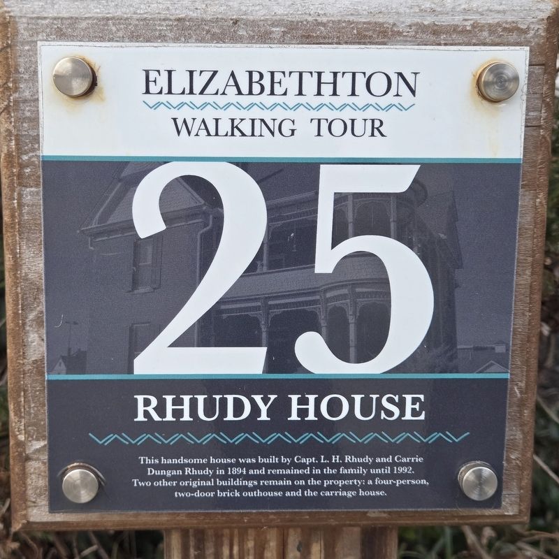
Rhudy House
| — | Elizabethton Walking Tour | — |
Photographed by Mark Parker, February 12, 2026
1. Rhudy House Marker
This handsome house was built by Capt. L. H. Rhudy and Carrie Dungan Rhudy in 1894 and remained in the family until 1992. Two other original buildings remain on the property: a four-person, two-door brick outhouse and the carriage house.
Erected by Elizabethton Walking Tour. (Marker Number 25.)
Topics. This historical marker is listed in this topic list: Notable Buildings. A significant historical year for this entry is 1894.
Location. 36° 20.829′ N, 82° 12.79′ W. Marker is in Elizabethton, Tennessee, in Carter County. It is on Hattie Avenue west of South Riverside Drive, on the right when traveling west. The marker is between the circular driveway and the house. Touch for map. Marker is at or near this postal address: 615 Hattie Ave, Elizabethton TN 37643, United States of America. Touch for directions.

Regionally, this marker is in East Tennessee and in the Tri-Cities Area. It is also in the American South, specifically in the Upper South, in Appalachia, and specifically in Southern Appalachia. Globally, it is in North America, the Western Hemisphere, the Western World, and the Anglosphere. Historically,
this page online
Other nearby markers. At least 8 other markers are within walking distance of this marker: Dungan House (within shouting distance of this marker); Sycamore Tree (about 300 feet away, measured in a direct line); First Court West of the Alleghenies (about 300 feet away); City of Elizabethton Bicentennial (about 300 feet away); Covered Bridge (about 300 feet away); a different marker also named The Covered Bridge (about 300 feet away); Burgie Drug (about 400 feet away); Samuel Tipton (about 400 feet away). Touch for a list and map of all markers in Elizabethton.

Photographed by Mark Parker, February 12, 2026
2. Rhudy House. Marker is near the front entrance between the shrubs and driveway
Credits. This page was last revised on July 26, 2026. It was originally submitted on July 25, 2026, by Mark Parker of Hickory, North Carolina. This page has been viewed 15 times since then. Photos: 1, 2. submitted on July 25, 2026, by Mark Parker of Hickory, North Carolina. • James Hulse was the editor who published this page.
