Gillette in Campbell County, Wyoming — The American West (Mountains)
Rotary Drill
| — | Energy Equipment Exhibit | — |
Photographed by Cosmos Mariner, July 29, 2022
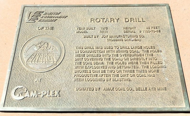
1. Rotary Drill Marker
Year built 1975
Height 45 feet
Model RR11
Serial # 1100-70-5E
Built by Joy Manufacturing Co. (Robbins Division)
This drill was used to drill large holes in conjunction with mining coal. The holes were drilled into the overburden (the dirt covering the coal) or directly into the coal seam. The holes were then filled with explosives and detonated. The loading shovels can be two or three times more productive after the dirt or coal has been loosened by blasting.
Donated by AMAX Coal Co., Belle Ayr Mine
Erected by Energy Equipment Exhibit of the High Plains Technology Center at Cam-Plex.
Topics. This historical marker is listed in this topic list: Industry & Commerce. A significant historical year for this entry is 1975.
Location. 44° 17.054′ N, 105° 26.876′ W. Marker is in Gillette, Wyoming, in Campbell County. It can be reached from the intersection of South Garner Lake Road and Martingale Drive, on the left when traveling south. The marker and rotary drill are in the Cam-Plex Energy Equipment Exhibit at Gillette Energy Park. Touch for map. Marker is at or near this postal address: 891 South Garner Lake Road, Gillette WY
this page online

Regionally, this marker is in the Powder River Basin. It is also in the American Mountain West, on the Great Plains, on the Northern Plains, and specifically on the High Plains. Globally, it is in North America, the Western Hemisphere, the Western World, and the Anglosphere. Historically, it finds itself in what was once the Louisiana Purchase.
Other nearby markers. At least 8 other markers are within walking distance of this marker: Coal Shovel Bucket (a few steps from this marker); Sundial and Time Capsule (within shouting distance of this marker); Engine 5802 (within shouting distance of this marker); Industrial Tires (within shouting distance of this marker); Pulling Unit (within shouting distance of this marker); Worthington Generator Units (within shouting distance of this marker); Caterpillar (about 300 feet away, measured in a direct line); Unit Rig Truck (about 400 feet away). Touch for a list and map of all markers in Gillette.
Photographed by Cosmos Mariner, July 29, 2022
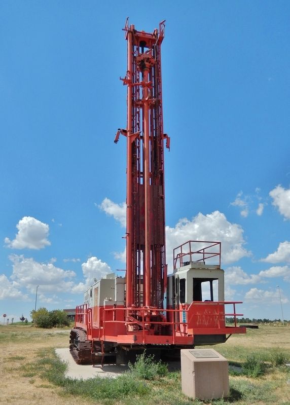
2. Rotary Drill & Marker
The marker is atop a concrete pedestal directly in front of the rotary drill.
Photographed by Cosmos Mariner, July 29, 2022
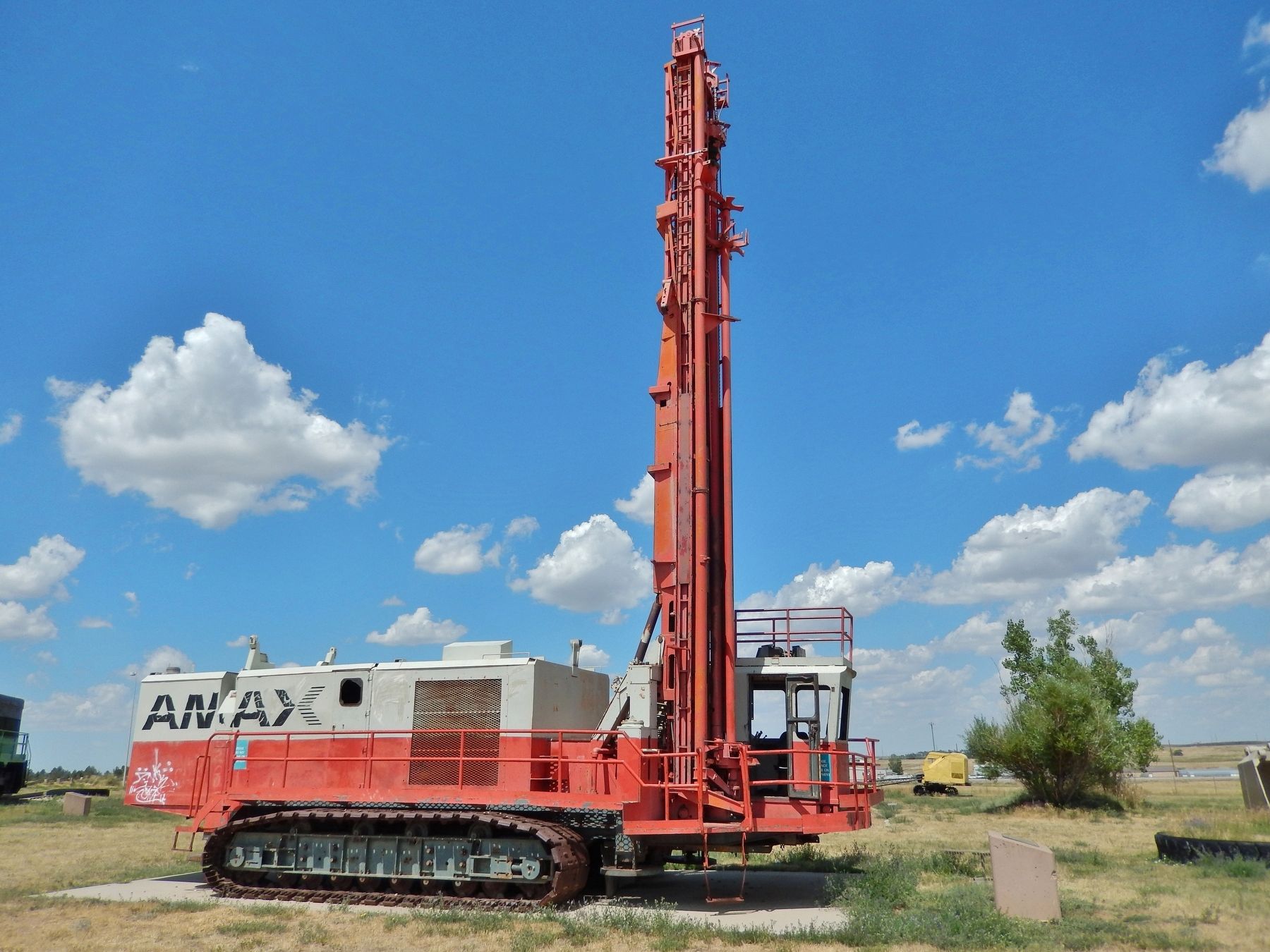
3. Rotary Drill
Credits. This page was last revised on July 26, 2026. It was originally submitted on July 26, 2026, by Cosmos Mariner of Cape Canaveral, Florida. This page has been viewed 9 times since then. Photos: 1, 2, 3. submitted on July 26, 2026, by Cosmos Mariner of Cape Canaveral, Florida.
