Goderich in Huron County, Ontario — Central Canada (North America)
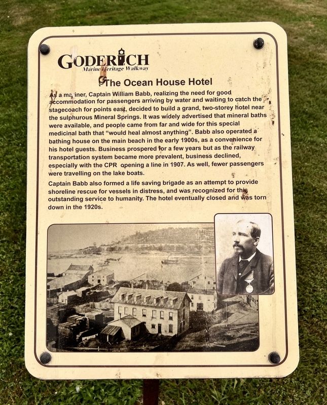
The Ocean House Hotel
| — | Goderich Marie Heritage Walkway | — |
Photographed by Tim Boyd, July 15, 2026
1. The Ocean House Hotel Marker
Captain Babb also formed a life saving brigade as an attempt to provide shoreline rescue for vessels in distress, and was recognized for this outstanding service to humanity. The hotel eventually closed and was torn down in the 1920s.
Topics. This historical marker is listed in these topic lists: Entertainment • Industry & Commerce. A significant historical year for this entry is 1907.
Location. 43° 44.608′ N,
this page online

Regionally, this marker is in the Huron-Perth-Waterloo-Wellington Area and in Southwestern Ontario. It is also in Central Canada. Globally, it is in North America, on the Great Lakes, in the Western Hemisphere, in the Western World, and in the Anglosphere. Historically, it finds itself in what was once a British colony, the Viceroyalty of New France, the Haudenosaunee (Iroquois) Confederacy, and Rupert’s Land.
Other nearby markers. At least 8 other markers are within walking distance of this marker: Menesetung Mineral Springs (a few steps from this marker); The Canadian Pacific Railway Station (within shouting distance of this marker); The Lower Town Community (within shouting distance of this marker); The Crab and Lee Families (within shouting distance of this marker); The Goderich Elevators (within shouting distance
Photographed by Tim Boyd, July 15, 2026
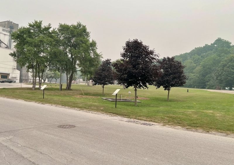
2. The Ocean House Hotel Marker
At the center of the photo
Credits. This page was last revised on July 27, 2026. It was originally submitted on July 26, 2026, by Tim Boyd of Hamilton, Ontario. This page has been viewed 15 times since then. Photos: 1, 2. submitted on July 26, 2026, by Tim Boyd of Hamilton, Ontario. • Andrew Ruppenstein was the editor who published this page.
