Goderich in Huron County, Ontario — Central Canada (North America)
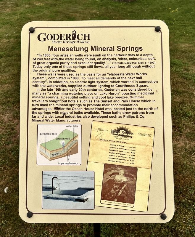
Menesetung Mineral Springs
| — | Goderich Marine Heritage Walkway | — |
Photographed by Tim Boyd, July 15, 2026
1. Menesetung Mineral Springs Marker
These wells were used as the basis for “an elaborate Water Works system”, completed in 1888, "to meet all demands of the next half century". In addition, an electric light system, which worked in connection with the waterworks, supplied outdoor lighting to Courthouse Square. In the late 19th and early 20th centuries, Goderich was considered by many as "a charming watering place on Lake Huron" boasting medicinal mineral springs, a beautiful setting and cool lake breezes. Summer travellers sought out hotels such as The Sunset and Park House which in turn used the mineral springs to promote their accommodation advantages. Earlier the Ocean House Hotel was located just to the north of the springs with mineral baths available. These baths drew patrons from far and wide. Local industries
this page online
Topics. This historical marker is listed in these topic lists: Entertainment • Industry & Commerce. A significant historical year for this entry is 1886.
Location. 43° 44.612′ N, 81° 43.458′ W. Marker is in Goderich, Ontario, in Huron County. It is at the intersection of Beach Street and Harbour Street, on the right when traveling north on Beach Street. Touch for map. Marker is at or near this postal address: 4 Beach Street, Goderich ON N7A 2K2, Canada. Touch for directions.

Regionally, this marker is in the Huron-Perth-Waterloo-Wellington Area and in Southwestern Ontario. It is also in Central Canada. Globally, it is in North America, on the Great Lakes, in the Western Hemisphere, in the Western World, and in the Anglosphere. Historically, it finds itself in what was once a British colony, the Viceroyalty of New France, the Haudenosaunee (Iroquois) Confederacy, and Rupert’s Land.
Other nearby markers. At least 8 other markers are within walking distance of this marker: The Ocean House Hotel (a few steps from this marker); The Crab and Lee Families
Photographed by Tim Boyd, July 15, 2026
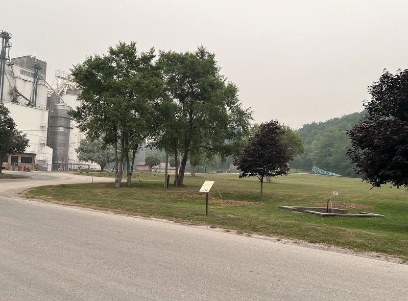
2. Menesetung Mineral Springs Marker
Photographed by Tim Boyd, July 15, 2026
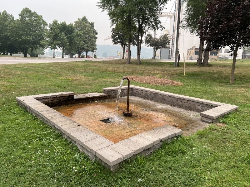
3. The remaining artesian well in 2026
Credits. This page was last revised on July 27, 2026. It was originally submitted on July 26, 2026, by Tim Boyd of Hamilton, Ontario. This page has been viewed 22 times since then. Photos: 1, 2, 3. submitted on July 26, 2026, by Tim Boyd of Hamilton, Ontario. • Andrew Ruppenstein was the editor who published this page.
