Goderich in Huron County, Ontario — Central Canada (North America)
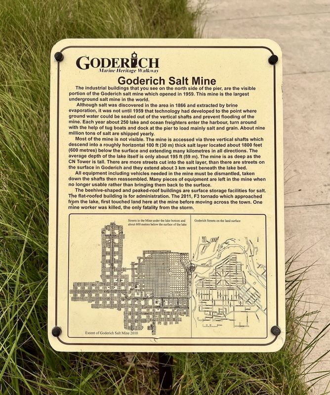
Goderich Salt Mine
Goderich Marine Heritage Walkway
Photographed by Tim Boyd, July 15, 2026
1. Goderich Salt Mine Marker
Although salt was discovered in the area in 1866 and extracted by brine evaporation, it was not until 1959 that technology had developed to the point where ground water could be sealed out of the vertical shafts and prevent flooding of the mine. Each year about 250 lake and ocean freighters enter the harbour, turn around with the help of tug boats and dock at the pier to load mainly salt and grain. About nine million tons of salt are shipped yearly.
Most of the mine is not visible. The mine is accessed via three vertical shafts which descend into a roughly horizontal 100ft ft (30 m) thick salt layer located about 1800 feet (600 metres) below the surface and extending many kilometres in all directions. The average depth of the lake itself is only about 195 ft (59 m). The mine is as deep as the CN Tower is tall. There are more streets cut into the salt layer, than there are streets on the surface in Goderich and they
this page online
All equipment including vehicles needed in the mine must be dismantled, taken down the shafts then reassembled. Many pieces of equipment are left in the mine when no longer usable rather than bringing them back to the surface.
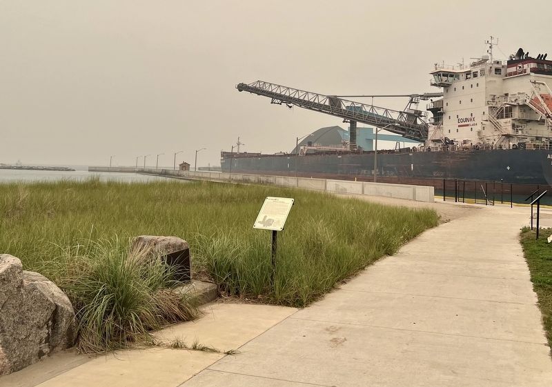
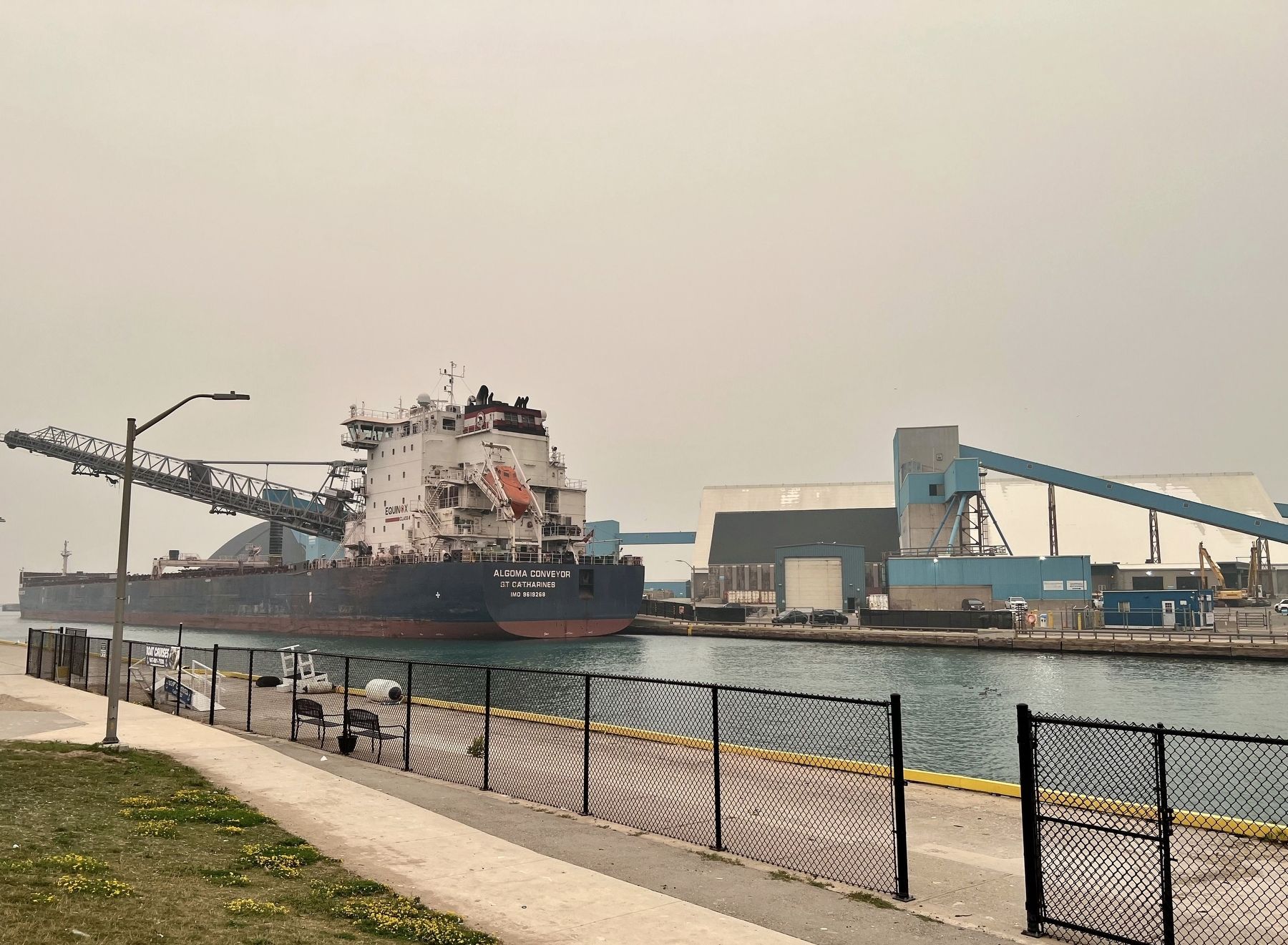
The beehive-shaped and peaked-roof buildings are surface storage facilities for salt. The flat-roofed building is for administration. The 2011, F3 tornado which approached from the lake, first touched land here at the mine before moving across the town. One mine worker was killed, the only fatality from the storm.
Topics. This historical marker is listed in this topic list: Industry & Commerce. A significant historical year for this entry is 1959.
Location. 43° 44.695′ N, 81° 43.565′ W. Marker is in Goderich, Ontario, in Huron County. It is on Harbour Street, on the left when traveling north. The marker is on a walkway accessible from Main Beach, or through the Rotary Bathing House, approx. 60 meters from Harbour Street. Touch for map. Marker is at or near this postal address: 270 Harbour Street, Goderich ON N7A 4J8, Canada. Touch for directions.

Regionally,
Photographed by Tim Boyd, July 15, 2026
2. Goderich Salt Mine Marker
Other nearby markers. At least 8 other markers are within walking distance of this marker: Vicki Keith (here, next to this marker); Goderich Harbour (here, next to this marker); Working at the Bathing House (here, next to this marker); The Bathing House (here, next to this marker); Fish Shanties (a few steps from this marker); The CPR Freight Shed (a few steps from this marker); Ship Island (a few steps from this marker); a different marker also named Goderich Harbour (a few steps from this marker). Touch for a list and map of all markers in Goderich.
Photographed by Tim Boyd, July 15, 2026
3. Goderich Salt Mine Marker
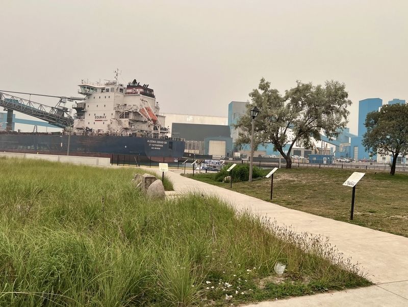
Looking from Rotary Bathing House, the marker id on the left of the walkway
Photographed by Tim Boyd, July 15, 2026
4. Sifto Salt Co., 2026
Credits. This page was last revised on July 26, 2026. It was originally submitted on July 26, 2026, by Tim Boyd of Hamilton, Ontario. This page has been viewed 25 times since then. Photos: 1, 2, 3, 4. submitted on July 26, 2026, by Tim Boyd of Hamilton, Ontario. • Andrew Ruppenstein was the editor who published this page.
