Valencia in Santa Clarita in Los Angeles County, California — The American West (Pacific Coastal)
Rancho San Francisco
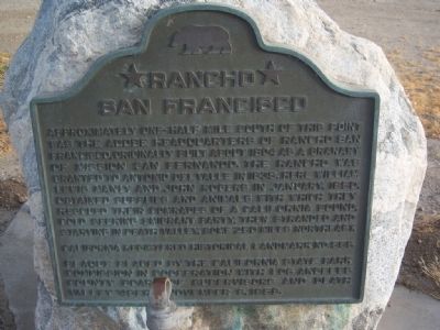
Photographed by Konrad R Summers
1. Rancho San Francisco Marker
Erected 1958 by California State Parks Commission in cooperation with the Los Angeles County Board of Supervisors and the Death Valley '49ers. (Marker Number 556.)
Topics and series. This historical marker is listed in these topic lists: Notable Places • Settlements & Settlers. In addition, it is included in the California Historical Landmarks series list. A significant historical month for this entry is January 1850.
Location. 34° 26.415′ N, 118° 36.313′ W. Marker is in Santa Clarita, California, in Los Angeles County. It is in Valencia. It is on The Old Road south of Henry Mayo Drive, on the right when traveling south. Touch for map. Marker is in this post office
this page online

Regionally, this marker is in Greater Los Angeles and in the Transverse Ranges. It is also on the American Pacific Coast. Globally, it is in North America, on the Ring of Fire, on the Pacific Rim, in the Western Hemisphere, in the Western World, and in the Anglosphere. Historically, it finds itself in what was once New Spain and also Mexico’s Alta California.
Other nearby markers. At least 8 other markers are within 5 miles of this marker, measured as the crow flies: Newhall Incident (approx. ¼ mile away); The Ridge Route (approx. 0.3 miles away); Oak of the Golden Dream (approx. 1.1 miles away); Tesoro Adobe (approx. 3.6 miles away); Apology (approx. 3.9 miles away); Saugus Café (approx. 4.2 miles away); Mentryville (approx. 4.2 miles away); Mentryville’s Barn (approx. 4.2 miles away). Touch for a list and map of all markers in Santa Clarita.
Regarding Rancho San Francisco. This site was designated California Historical Landmark No. 556 on August 24, 1956.
To learn more, read the book DEATH VALLEY IN ‘49 by William Lewis Manly, edited and
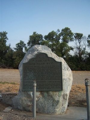
Photographed by Konrad R Summers
2. Rancho San Francisco Marker
Describing their arrival in the Santa Clarita Valley after walking 250 miles from Death Valley, Manly wrote: "There before us was a beautiful meadow of a thousand acres, green as a thick carpet of grass could make it, and shaded with oaks, wide-branching and symmetrical, equal to those of an old English park; while all over a herd of cattle numbering many hundreds, if not thousands ... were calmly laying down in happy rumination ... Such a scene of abundance and rich plenty and comfort bursting thus upon our eyes, which for months had seen only the desolation of the desert, was like getting a glimpse of Paradise, and tears of joy ran down our faces."
Also see . . . Rancho San Francisco. SCVhistory.com provides information and historical photos of the area. (Submitted on May 14, 2010.)
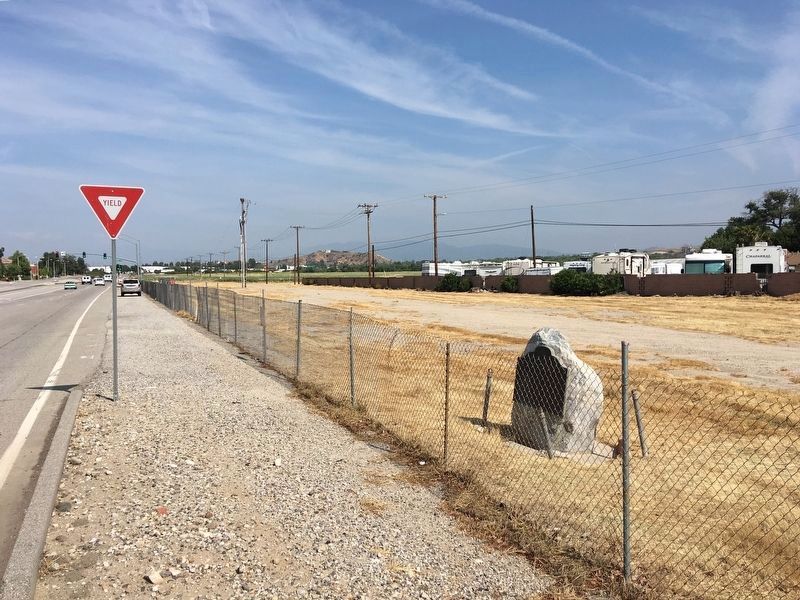
Photographed by Craig Baker, May 13, 2019
3. Rancho San Francisco Marker
Credits. This page was last revised on December 14, 2024. It was originally submitted on May 13, 2010, by Konrad R Summers of Santa Clarita, California. This page has been viewed 2,760 times since then and 139 times this year. Photos: 1, 2. submitted on May 13, 2010, by Konrad R Summers of Santa Clarita, California. 3. submitted on May 15, 2019, by Craig Baker of Sylmar, California. • Syd Whittle was the editor who published this page.
