Near Leonard in Fannin County, Texas — The American South (West South Central)
East Shady Grove Baptist Church
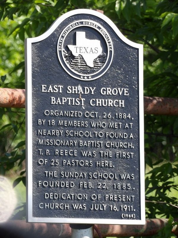
Photographed by Duane and Tracy Marsteller, May 2, 2026
1. East Shady Grove Baptist Church Marker
The Sunday School was founded Feb. 22, 1885.
Dedication of present church was July 16, 1911.
Erected 1968 by Texas State Historical Survey Committee. (Marker Number 8867.)
Topics. This historical marker is listed in this topic list: Religion & Religious Structures. A significant historical date for this entry is October 26, 1884.
Location. 33° 22.776′ N, 96° 17.698′ W. Marker is near Leonard, Texas, in Fannin County. It is on Farm to Market Road 981 0.4 miles north of Texas Highway 78, on the right when traveling north. Touch for map. Marker is at or near this postal address: 2271 FM981, Leonard TX 75452, United States of America. Touch for directions.

Regionally, this marker is in the Prairies & Lakes Region. It is also in the American South. Globally, it is in North America, a Gulf of Mexico state, the Western Hemisphere, the Western World, and the Anglosphere. Historically, it finds itself in what was once New Spain, the Republic of Texas, one of the Confederate
this page online
Other nearby markers. At least 8 other markers are within 5 miles of this marker, measured as the crow flies: John Cadwallader Neale (approx. 2.4 miles away); Dr. William Chamberlayne Jones (approx. 2.4 miles away); Leonard (approx. 2.7 miles away); First Presbyterian Church of Leonard (approx. 2.7 miles away); First United Methodist Church of Leonard (approx. 2.8 miles away); Indian Creek Baptist Church and Cemetery (approx. 3½ miles away); Valley Creek (approx. 3.9 miles away); Burns Cemetery (approx. 4.3 miles away). Touch for a list and map of all markers in Leonard.
Also see . . . East Shady Grove Baptist Church. Reprint of news article about the dedication of the marker, which was erected in 1968 but not formally dedicated until later because of the church's disbandment. Article includes additional information about the church's history. (Fannin County Historical Commission) (Submitted on July 27, 2026, by Duane and Tracy Marsteller of Murfreesboro, Tennessee.)
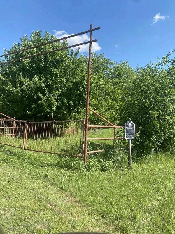
Photographed by Duane and Tracy Marsteller, May 2, 2026
2. East Shady Grove Baptist Church Marker
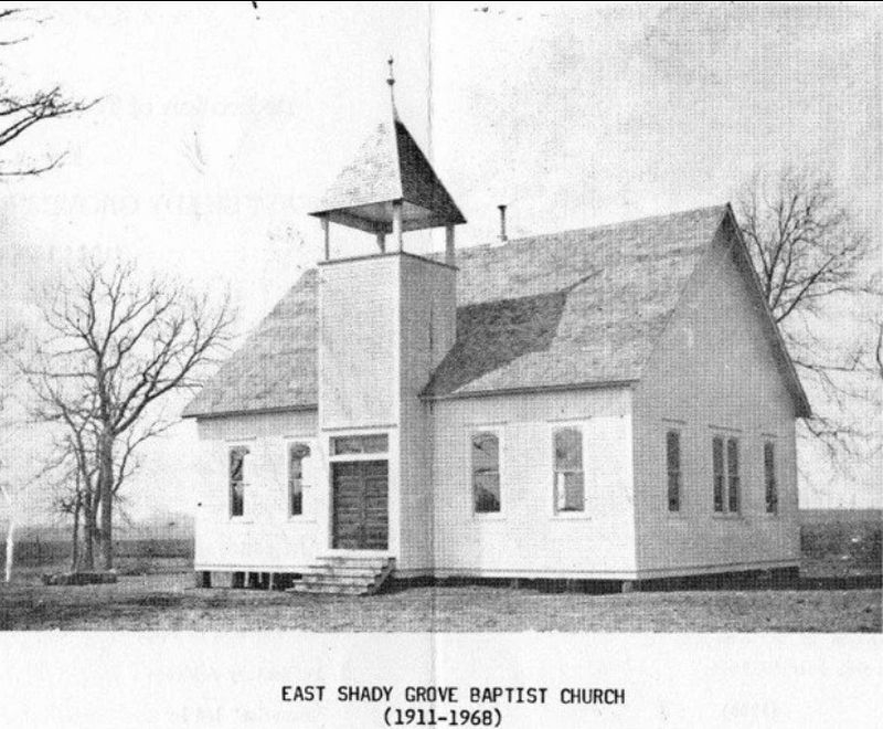
via Fannin County Historical Commission (Public Domain)
3. East Shady Grove Baptist Church
Copy of undated photograph of the church sanctuary. The church disbanded in 1968.
Credits. This page was last revised on July 27, 2026. It was originally submitted on July 27, 2026, by Duane and Tracy Marsteller of Murfreesboro, Tennessee. This page has been viewed 10 times since then. Photos: 1, 2, 3. submitted on July 27, 2026, by Duane and Tracy Marsteller of Murfreesboro, Tennessee.
