Greenville in Greenville County, South Carolina — The American South (South Atlantic)
Clark Murphy Housing Complex
Photographed by Brandon D Cross, February 23, 2021
1. Clark Murphy Housing Complex Marker
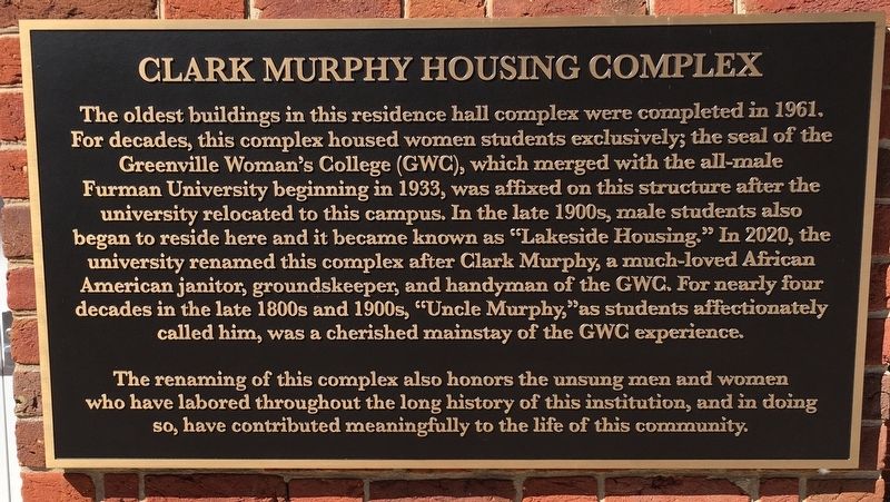
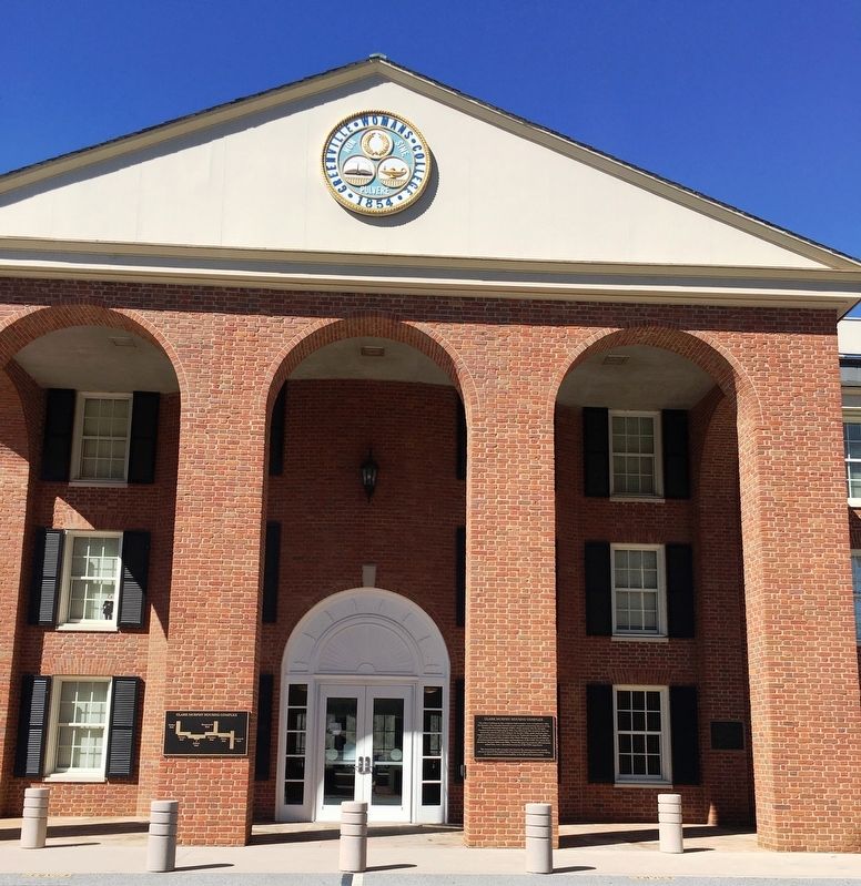
The oldest buildings in this residential hall complex were completed in 1961. For decades, this complex housed women students exclusively; the seal of Greenville Woman’s College (GWC), which merged with the all-male Furman University beginning in 1933, was affixed on this structure after the university relocated to this campus. In the late 1900s, male students also began to reside here and it became known as "Lakeside Housing." In 2020, university renamed this complex after Clark Murphy, a much-loved African American janitor, groundskeeper, and handyman of the GWC. For nearly four decades in the late 1800s and 1900s, “Uncle Murphy,” as students affectionately called him, was a cherished mainstay of the GWC experience.
The renaming of this complex also honors the unsung men and women who have labored throughout the long history of this institution, and in doing so, have contributed meaningfully to the life of this community.
Erected 2020 by Furman University.
Topics. This historical marker is listed in these topic lists: African Americans • Education.
Location. This marker has been replaced by another marker nearby.
this page online

Regionally, this marker was in Upstate. It was also in the American South, specifically in the Deep South, in Appalachia, and specifically in Southern Appalachia. Globally, it was in North America, the Western Hemisphere, the Western World, and the Anglosphere. Historically, it found itself in what was once the original Cherokee Nation, the territory of the Mississippian Culture, one of the original Thirteen Colonies, one of the Confederate States of America, and the Antebellum South.
Other nearby markers. At least 8 other markers are within walking distance of this location: A different marker also named Clark Murphy Housing Complex
Photographed by Brandon D Cross, February 23, 2021
2. Clark Murphy Housing Complex Marker
Also see . . . Task Force on Slavery and Justice. Furman University (Submitted on March 23, 2021, by Brandon D Cross of Flagler Beach, Florida.)
Credits. This page was last revised on July 28, 2026. It was originally submitted on March 23, 2021, by Brandon D Cross of Flagler Beach, Florida. This page has been viewed 527 times since then and 78 times this year. Last updated on July 28, 2026, by Rachel Gambrell of Greenville, South Carolina. Photos: 1, 2. submitted on March 23, 2021, by Brandon D Cross of Flagler Beach, Florida. • Devry Becker Jones was the editor who published this page.
