Near Brookneal in Campbell County, Virginia — The American South (Mid-Atlantic)
Campbell County
⎯⎯⎯
Charlotte County
Photographed by Tom Bosse, July 4, 2026
1. Campbell County / Charlotte County Marker
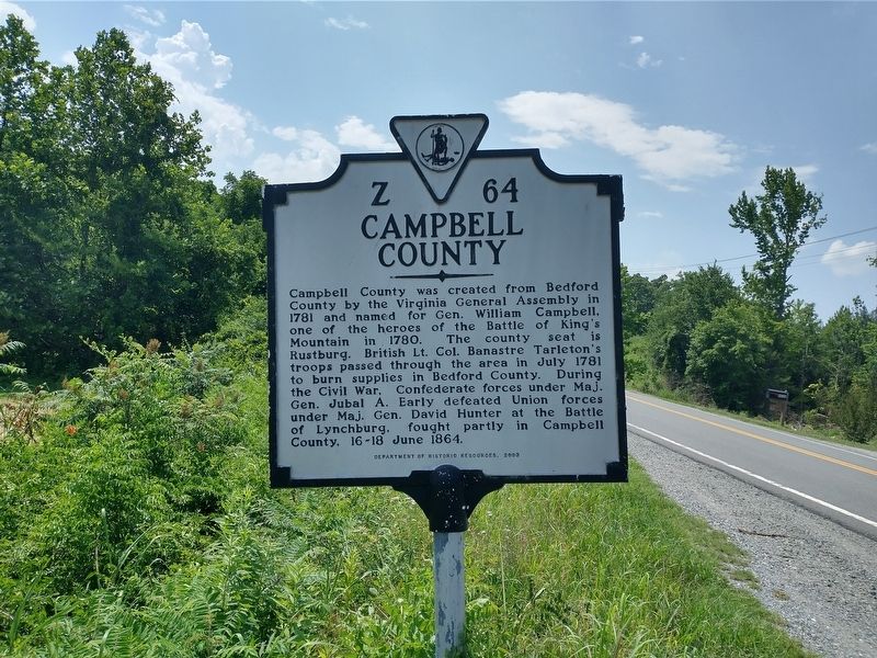
Campbell County was created from Bedford County by the Virginia General Assembly in 1781 and named for Gen. William Campbell, one of the heroes of the Battle of King's Mountain in 1780. The county seat is Rustburg. British Lt. Col. Banastre Tarleton's troops passed through the area in July 1781 to burn supplies in Bedford County. During the Civil War, Confederate forces under Maj. Gen. Jubal A. Early defeated Union forces under Maj. Gen. David Hunter at the Battle of Lynchburg, fought partly in Campbell County, 16-18 June 1864.
Charlotte County
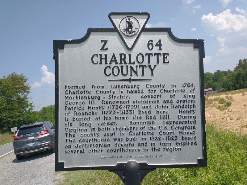
Formed from Lunenburg County in 1764, Charlotte County is named for Charlotte of Mecklenburg ~ Strelitz, consort of King George III. Renowned statesmen and orators Patrick Henry (1736~1799) and John Randolph of Roanoke (1773~1833) lived here. Henry is buried at his home site Red Hill. During his long career, Randolph represented Virginia in both chambers of the U.S. Congress. The county seat is Charlotte Court House. The courthouse was built in 1822~1823 based on Jeffersonian designs and in turn inspired several other courthouses in the region.
Erected 2003
this page online
Topics. This historical marker is listed in this topic list: Political Subdivisions.
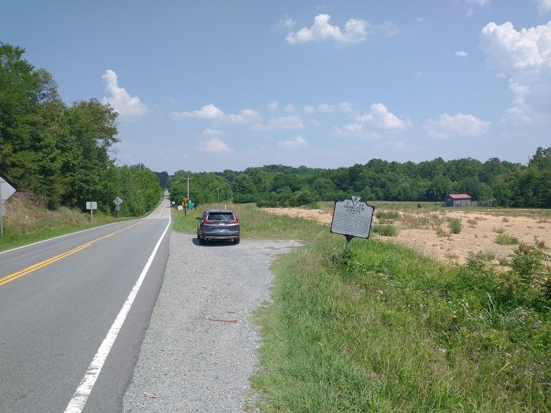
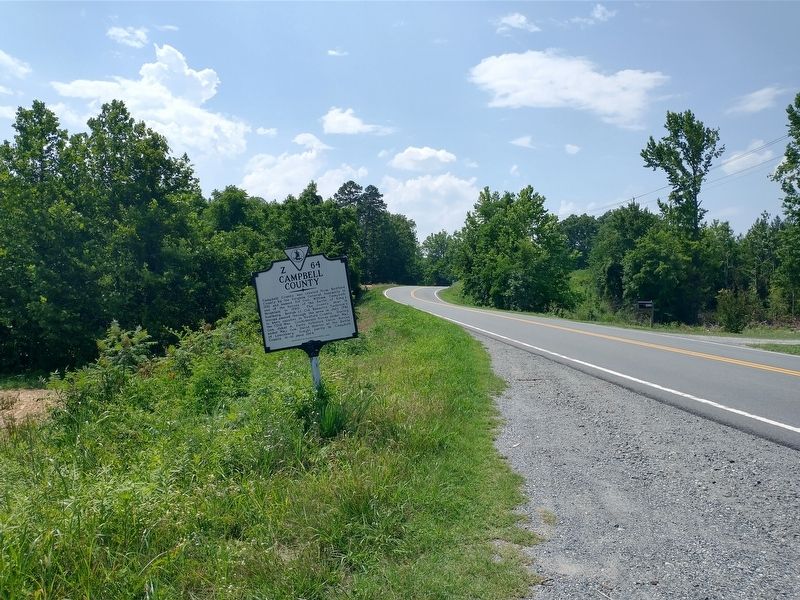
Location. 37° 4.587′ N, 78° 52.762′ W. Marker is near Brookneal, Virginia, in Campbell County. It is on Patrick Henry Highway (Virginia Route 40) 0.3 miles east of Owl Road, on the left when traveling west. Touch for map. Marker is at or near this postal address: Wickliffe Road, Brookneal VA 24528, United States of America. Touch for directions.

Regionally, this marker is in the Piedmont and in Central Virginia. It is also in the American South and specifically in the Upper South. Globally, it is in North America, the Western Hemisphere, the Western World, and the Anglosphere. Historically, it finds itself in what was once the territory of the Mississippian Culture, one of the original Thirteen Colonies, one of the Confederate States of America, and the Antebellum South.
Other nearby markers. At least 8 other markers are within 4 miles of this marker, measured as the crow flies: Patrick Henry’s Grave (approx. 1.1 miles away);
Photographed by Tom Bosse, July 4, 2026
2. Campbell County / Charlotte County Marker
Photographed by Tom Bosse, July 4, 2026
3. Campbell County / Charlotte County Marker
Photographed by Tom Bosse, July 4, 2026
4. Campbell County / Charlotte County Marker
Credits. This page was last revised on August 1, 2026. It was originally submitted on July 28, 2026, by Tom Bosse of Jefferson City, Tennessee. This page has been viewed 13 times since then. Photos: 1, 2, 3, 4. submitted on July 28, 2026, by Tom Bosse of Jefferson City, Tennessee. • Bernard Fisher was the editor who published this page.
