Mount Holly in Gaston County, North Carolina — The American South (South Atlantic)
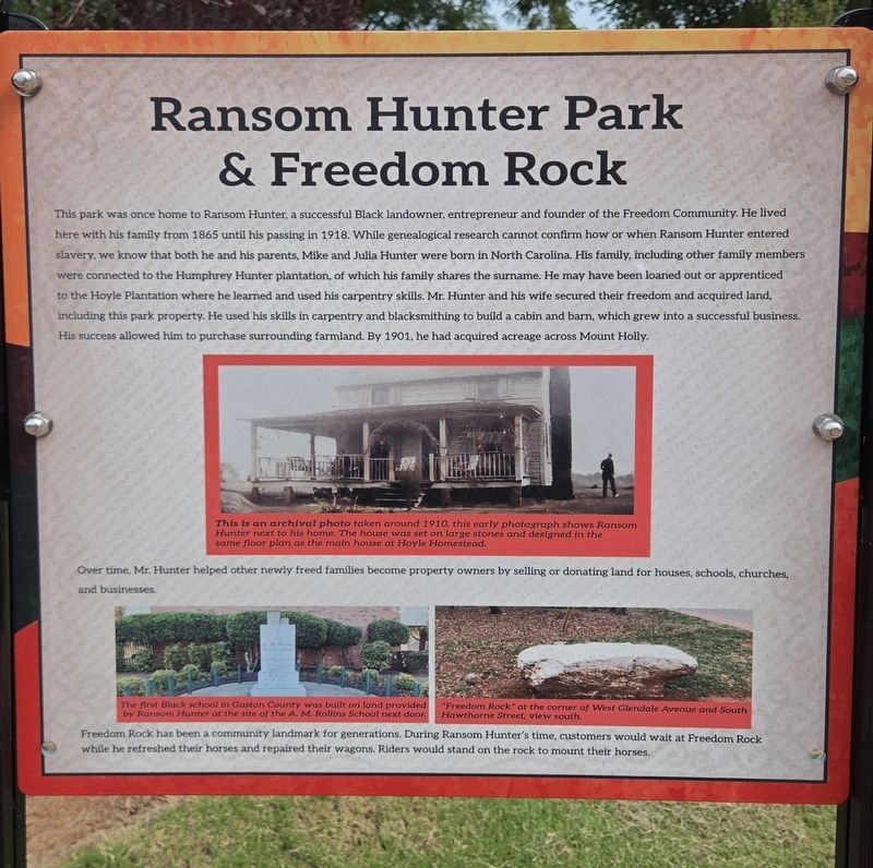
Ransom Hunter & Freedom Rock
Photographed by Mark Parker, July 28, 2026
1. Ransom Hunter and Freedom Rock Marker
Over time, Mr. Hunter helped other newly freed families become property owners by selling or donating land for houses, schools, churches, and businesses.
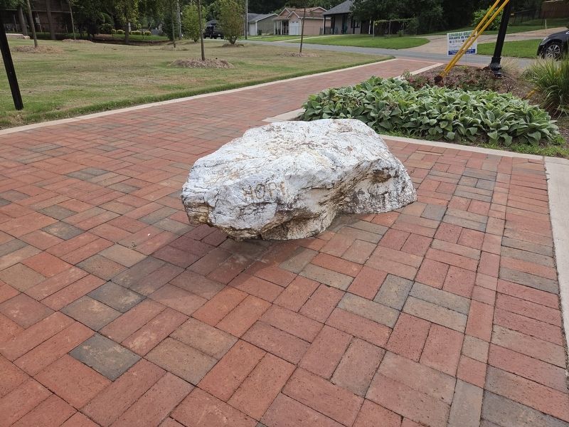
Freedom Rock has been a community landmark
this page online
(captions)
This is an archival photo taken around 1910, this early photograph shows Ransom Hunter next to his home. The house was set on large stones and designed in the same floor plan as the main house at Hoyle Homestead.
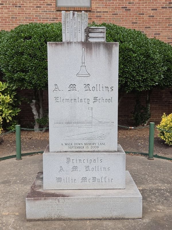
The first Black school in Gaston County was built on land provided by Ransom Hunter at the site of the A. M. Rollins School next door.
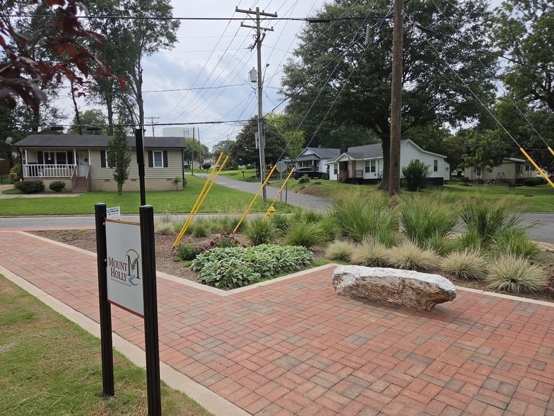
"Freedom Rock" at the corner of West Glendale Avenue and South Hawthorne Street, view south
Erected 2025 by Town of Mount Holly.
Topics. This historical marker is listed in these topic lists: African Americans • Education • Industry & Commerce • Settlements & Settlers. A significant historical year for this entry is 1901.
Location. 35° 17.653′ N, 81° 1.281′ W. Marker is in Mount Holly, North Carolina, in Gaston County. It can be reached from the intersection of South Hawthorne Street and West Glendale Avenue, on the right when traveling north. Touch for map. Marker
Photographed by Mark Parker, July 28, 2026
2. Ransom Hunter marker and Freedom Rock

Regionally, this marker is in the Piedmont and in Greater Charlotte. It is also in the American South and specifically in the Upper South. Globally, it is in North America, the Western Hemisphere, the Western World, and the Anglosphere. Historically, it finds itself in what was once the territory of the Mississippian Culture, one of the original Thirteen Colonies, one of the Confederate States of America, and the Antebellum South.
Other nearby markers. At least 8 other markers are within walking distance of this marker: Historic Homesite and Landscape (a few steps from this marker); 1830-1910 Enslavement to Landowner (a few steps from this marker); 1830-1910 Life on Freedom Farm (within shouting distance of this marker); 1910-1960s Building the Freedom Community (within shouting distance of this marker); 2000-2025 Community Landmark (within shouting distance of this marker); The Mighty Oak Tree (within shouting distance of this marker); 128 South Main Street (approx. 0.3 miles away); 126 South Main Street
Photographed by Mark Parker, July 28, 2026
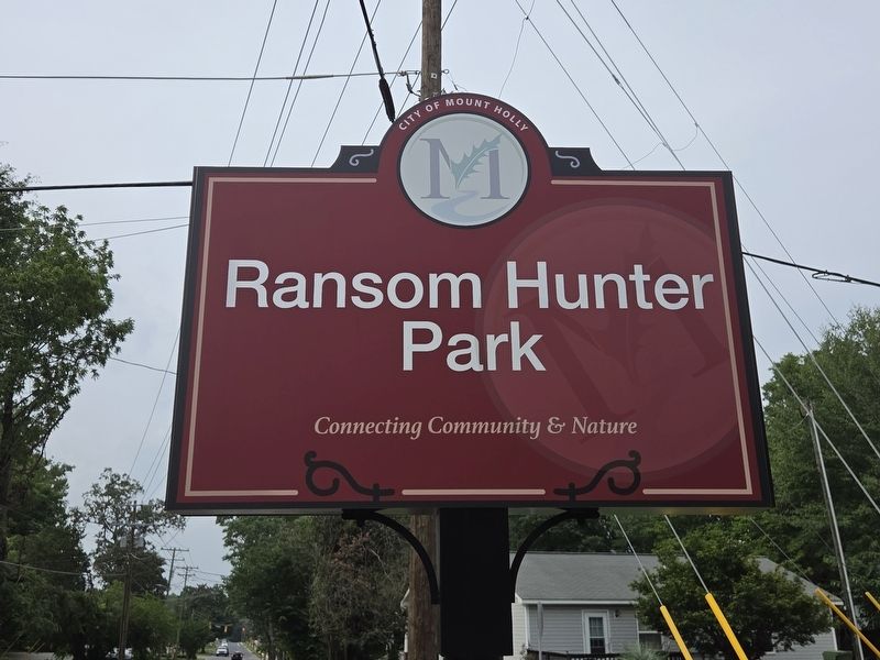
3. Ransom Hunter Park sign
Photographed by Mark Parker, July 28, 2026
4. A.M. Rollins Elementary School monument, a short distance south of the park
Photographed by Mark Parker, July 28, 2026
5. Freedom Rock
Photographed by Mark Parker, July 28, 2026
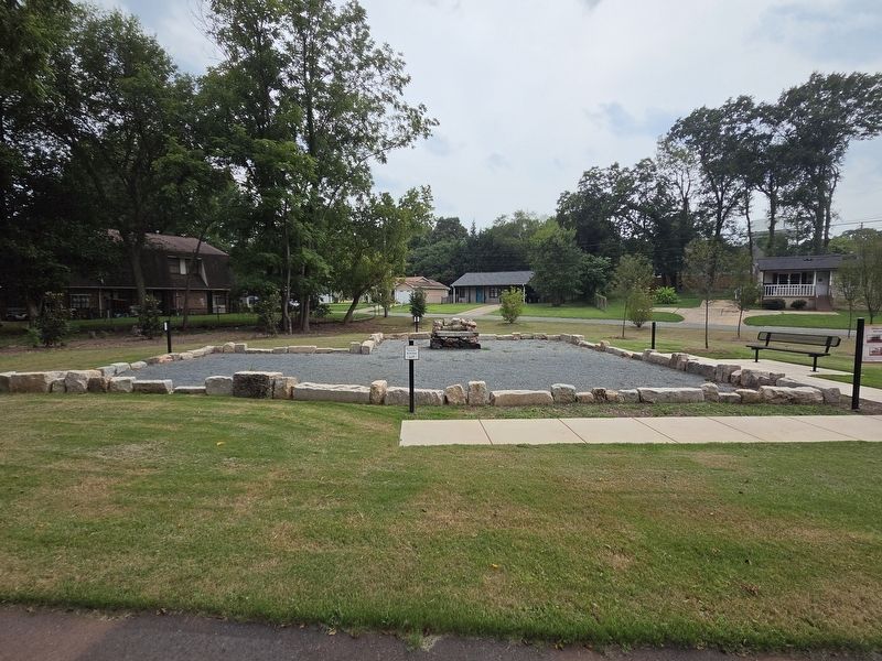
6. Ransom Hunter House Foundation
Credits. This page was last revised on August 4, 2026. It was originally submitted on July 28, 2026, by Mark Parker of Hickory, North Carolina. This page has been viewed 17 times since then. Photos: 1, 2, 3, 4, 5, 6. submitted on July 28, 2026, by Mark Parker of Hickory, North Carolina. • Bernard Fisher was the editor who published this page.
