Red Lake Falls in Red Lake County, Minnesota — The American Midwest (Upper Plains)
Red Lake Falls Community Hall
Photographed by Cosmos Mariner, August 29, 2022
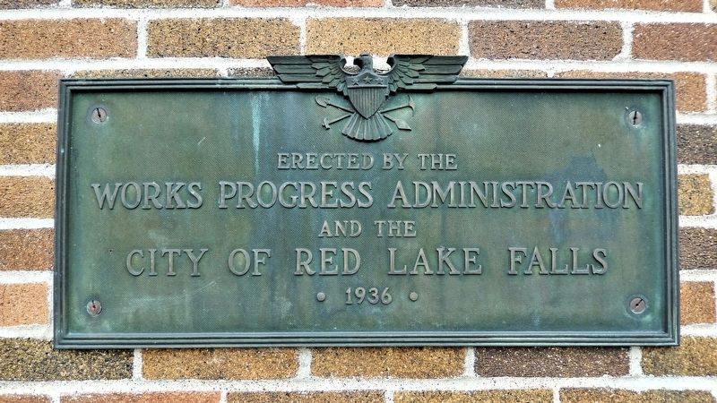
1. Red Lake Falls Community Hall Marker
Works Progress Administration
and the
City of Red Lake Falls
• 1936 •
Topics and series. This historical marker is listed in these topic lists: Architecture • Charity & Public Work. In addition, it is included in the Works Progress Administration (WPA) projects series list. A significant historical year for this entry is 1936.
Location. 47° 52.948′ N, 96° 16.521′ W. Marker is in Red Lake Falls, Minnesota, in Red Lake County. It is at the intersection of Champagne Ave Southwest (County Road 54) and 2nd Street Southwest, on the left when traveling south on Champagne Ave Southwest. The marker is mounted on the southwest corner of the building, facing Champagne Ave Southwest. Touch for map. Marker is at or near this postal address: 108 2nd Street Southwest, Red Lake Falls MN 56750, United States of America. Touch for directions.

Regionally, this marker is in Minnesota’s Northland. It is also in the American Midwest, in the Corn Belt, on the prairies, on the Great Plains, and specifically on the Northern Plains. Globally, it is in North America, the Great North Woods, the Western Hemisphere, the
this page online
Other nearby markers. At least 2 other markers are within walking distance of this marker: Red Lake County Courthouse (approx. 0.2 miles away); Pierre Bottineau (approx. ¼ mile away).
Photographed by Cosmos Mariner, August 29, 2022
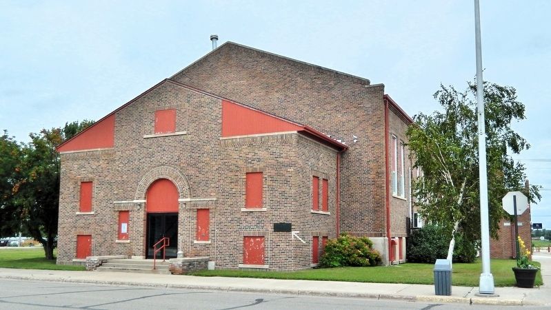
2. Red Lake Falls Community Hall Marker
The marker is mounted at eye level on the southwest (right) corner of the building, facing Champagne Ave Southwest.
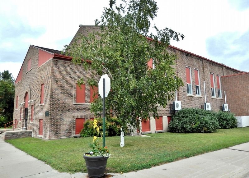
Photographed by Cosmos Mariner, August 29, 2022
3. Red Lake Falls Community Hall (southwest elevation)
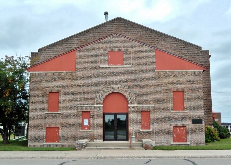
Photographed by Cosmos Mariner, August 29, 2022
4. Red Lake Falls Community Hall (west elevation)
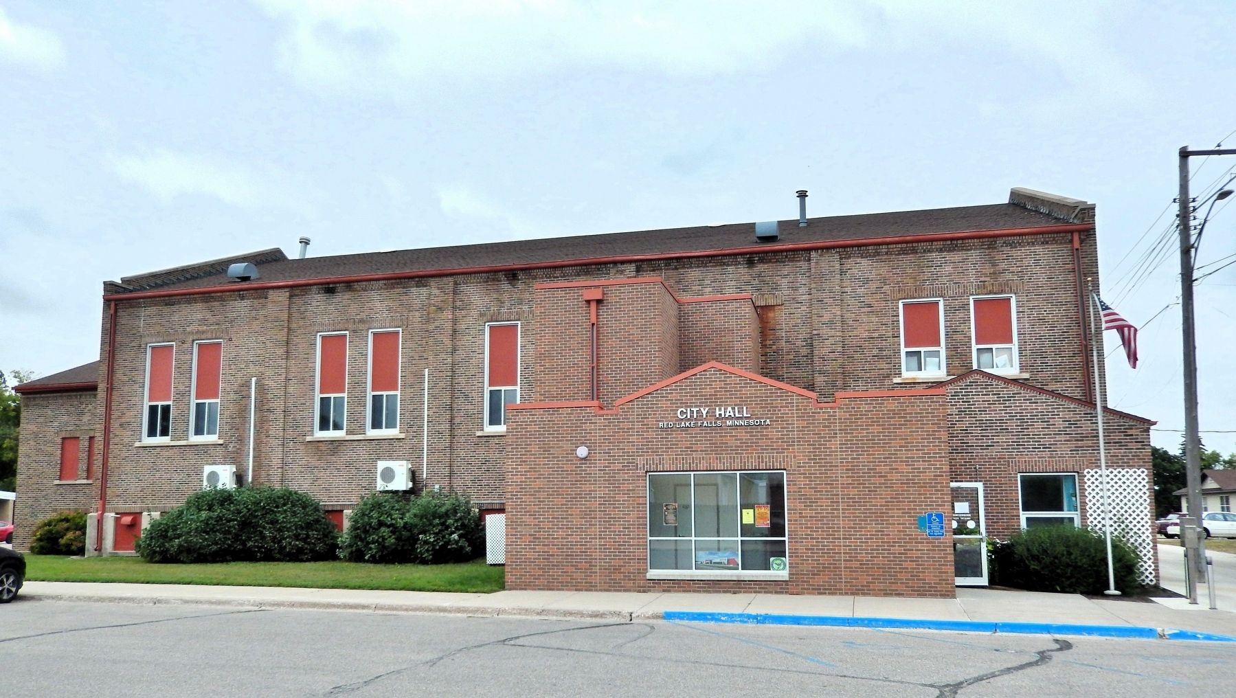
Photographed by Cosmos Mariner, August 29, 2022
5. Red Lake Falls Community Hall (south elevation)
Today the southeast corner of the building houses Red Lake City Hall.
Credits. This page was last revised on July 29, 2026. It was originally submitted on July 28, 2026, by Cosmos Mariner of Cape Canaveral, Florida. This page has been viewed 14 times since then. Photos: 1, 2, 3, 4, 5. submitted on July 29, 2026, by Cosmos Mariner of Cape Canaveral, Florida.
