Near Jasper in Dubois County, Indiana — The American Midwest (Great Lakes)
Buckingham's Base Line
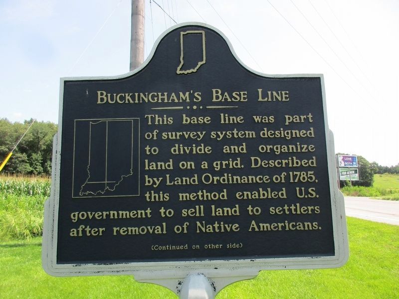
Photographed by Jeff Leichsenring, July 24, 2026
1. Buckingham's Base Line Marker
Front side
This base line was part of survey system designed to divide and organize land on a grid. Described by Land Ordinance of 1785, this method enabled U.S. government to sell land to settlers after removal of Native Americans.
U.S. Surveyor-General Jared Mansfield planned a north-south range line (Second Principal Meridian) and this east-west base line to serve as foundational lines for survey of Indiana Territory. Ebenezer Buckingham, Jr. led the crew that marked these lines in the landscape 1804-05. During following decades of expansion, most western states adopted this survey method.
Erected 2018 by Indiana Historical Bureau and Dubois County Historical Society. (Marker Number 19.2018.1.)
Topics and series. This historical marker is listed in these topic lists: Exploration • Settlements & Settlers. In addition, it is included in the Indiana Historical Bureau Markers series list. A significant historical year for this entry is 1785.
Location. 38° 28.001′ N, 86° 55.037′ W. Marker is near Jasper, Indiana, in Dubois County. It is on U.S. 231 near County Road W600N, on the right when traveling south. Touch for map.
this page online

Regionally, this marker is in the Tri-State Region and in Southern Indiana. It is also in the American Midwest and in the Corn Belt. Globally, it is in North America, the Western Hemisphere, the Western World, and the Anglosphere. Historically, it finds itself in what was once the territory of the Mississippian Culture and also the Northwest Territory.
Other nearby markers. At least 8 other markers are within 6 miles of this marker, measured as the crow flies: The Buffalo Trail (approx. 2.7 miles away); State Police Jasper Post (approx. 4.2 miles away); Early Furniture Store (approx. 5.3 miles away); Dubois County Named in Honor of Toussaint Dubois (approx. 5.3 miles away); Dubois County Civil War Memorial (approx. 5.3 miles away); In Honor of the Revolutionary War Soldiers Buried in Dubois County (approx. 5.3 miles away); Site of First Court House - School (approx. 5.3 miles away); Dubois County Honor Roll Memorial (approx. 5.3 miles away). Touch for a list and map of all markers in Jasper.
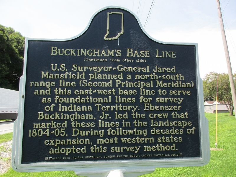
Photographed by Jeff Leichsenring, July 24, 2026
2. Buckingham's Base Line Marker
Back side
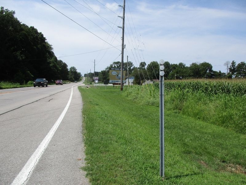
Photographed by Jeff Leichsenring, July 24, 2026
3. Buckingham's Base Line Marker
Credits. This page was last revised on July 30, 2026. It was originally submitted on July 29, 2026, by Jeff Leichsenring of Garland, Texas. This page has been viewed 16 times since then. Photos: 1, 2, 3. submitted on July 29, 2026, by Jeff Leichsenring of Garland, Texas. • Devry Becker Jones was the editor who published this page.
