Goderich in Huron County, Ontario — Central Canada (North America)
Thomas Mercer Jones, 1795-1868
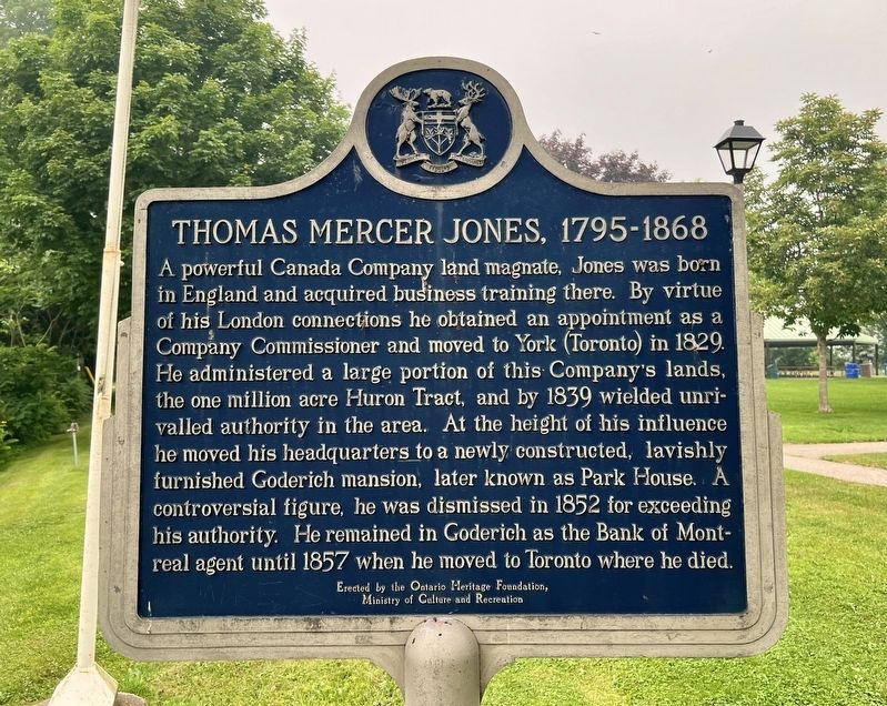
Photographed by Tim Boyd, July 15, 2026
1. Thomas Mercer Jones, 1795-1868 Marker
Erected 1977 by Ontario Heritage Foundation.
Topics and series. This historical marker is listed in this topic list: Settlements & Settlers. In addition, it is included in the Canada, Ontario Heritage Trust series list. A significant historical year for this entry is 1829.
Location. 43° 44.6′ N, 81° 43.17′ W. Marker is in Goderich, Ontario, in Huron County. It is on Harbour Street, on the right when traveling west. The marker is
this page online

Regionally, this marker is in the Huron-Perth-Waterloo-Wellington Area and in Southwestern Ontario. It is also in Central Canada. Globally, it is in North America, on the Great Lakes, in the Western Hemisphere, in the Western World, and in the Anglosphere. Historically, it finds itself in what was once a British colony, the Viceroyalty of New France, the Haudenosaunee (Iroquois) Confederacy, and Rupert’s Land.
Other nearby markers. At least 8 other markers are within walking distance of this marker: Canada Company Headquarters (a few steps from this marker); Tornado 2011 (within shouting distance of this marker); Tiger Dunlop’s Castle (within shouting distance of this marker); The Founding of Goderich / La Fondation de Goderich (within shouting distance of this marker); The Original Lighthouse (about 150 meters away, measured in a direct line); Salt Brine Plants (about

Photographed by Tim Boyd, July 15, 2026
2. Thomas Mercer Jones, 1795-1868 Marker
Also see . . . The Canada Company (Wikipedia).
The Canada Company was a private British land development company that was established to aid in the colonization of a large part of Upper Canada. It was incorporated by royal charter on August 19, 1826, under the Canada Company Act 1825 (6 Geo. 4. c. 75) of the British parliament, which was given royal assent on June 27, 1825. It was originally formed to acquire and develop Upper Canada's undeveloped clergy reserves and Crown reserves, which the company bought in 1827 for £341,000 ($693,000) from the Province of Upper Canada.(Submitted on July 29, 2026, by Tim Boyd of Hamilton, Ontario.)
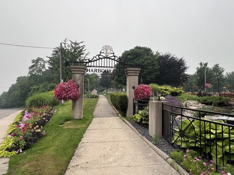
Photographed by Tim Boyd, July 15, 2026
3. Entrance to Harbour Park from Harbour Street
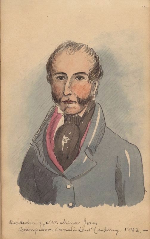
4. Thomas Mercer Jones, 1843
Library and Archives Canada (public domain)
Credits. This page was last revised on July 31, 2026. It was originally submitted on July 29, 2026, by Tim Boyd of Hamilton, Ontario. This page has been viewed 13 times since then. Photos: 1, 2, 3, 4. submitted on July 29, 2026, by Tim Boyd of Hamilton, Ontario. • Andrew Ruppenstein was the editor who published this page.
