Monroe Township near West Liberty in Logan County, Ohio — The American Midwest (Great Lakes)
Connecting the Conservatory to the Garden
Photographed by Craig Doda, July 11, 2026
1. Connecting the Conservatory to the Garden Marker
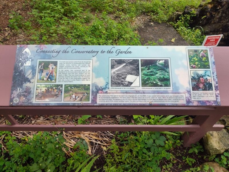
In a multi-year project called From the Ground Up under the direction of archaeologist Ann Johnson, students, scouts, families, and summer day-campers excavated the tunnel, sections of the garden, and the conservatory floor.
In the garden, they uncovered part of the foundation for the house where Abram and his first wife Hannah lived with their children until her death in 1861. They also found evidence of early plantings including the button rose. The discovery of the dirt floor in the conservatory suggests the room was a place to grow flowers rather than a place to display flowers.
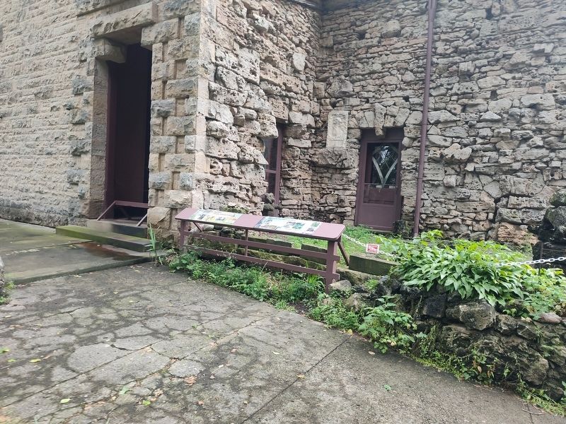
The conservatory floor behind this panel was originally dirt. In the 1920s, it was covered with cement, which was removed in 2012 for archaeological examination. The metal plate in the floor covers the original cistern for water. When the fireplace was closed it was filled with rocks. The doorway to the left enters into the front hallway and other door into Abram Piatt's office, revealing the only remaining piece of the original window frames. The stone stairway to the right leads underground and into the circle garden.
The button
this page online
Erected by Piatt Castle Mac-A-Cheek; The Mac-A-Cheek Foundation for the Humanities; The Columbus Foundation; Mary Eleanor Morris Fund.
Topics. This historical marker is listed in these topic lists: Architecture • Forts and Castles • Horticulture & Forestry. A significant historical year for this entry is 1861.
Location. 40° 15.057′ N, 83° 43.621′ W. Marker is near West Liberty, Ohio, in Logan County. It is in Monroe Township. It is at the intersection of County Route 47 and Ohio Route 245, on the right when traveling north on County Route 47. Touch for map. Marker is at or near this postal address: 10051 Township Rd 47, West Liberty OH 43357, United States of America. Touch for directions.

Regionally, this marker is in Ohio’s Till Plains. It is also in the American Midwest and in the Corn Belt. Globally, it is in North America, the Western Hemisphere, the Western World, and the Anglosphere. Historically, it finds itself in what was once the Viceroyalty of New France, the Haudenosaunee (Iroquois) Confederacy,
Photographed by Craig Doda, July 11, 2026
2. Connecting the Conservatory to the Garden Marker
Other nearby markers. At least 8 other markers are within walking distance of this marker: Over a Century of Tours: Family Business (here, next to this marker); What Happened to the Conservatory? (here, next to this marker); Aftermath of Logan’s Raid (here, next to this marker); Hopewell Ceremonial Earthworks (a few steps from this marker); A History of Historic Markers (a few steps from this marker); How the Mekoche Were Remembered (a few steps from this marker); Finding the Balance Between History & Legacy (a few steps from this marker); Why aren't we standing in a Shawnee village? (a few steps from this marker). Touch for a list and map of all markers in West Liberty.
Credits. This page was last revised on August 6, 2026. It was originally submitted on July 30, 2026, by Craig Doda of Napoleon, Ohio. This page has been viewed 11 times since then. Photos: 1, 2. submitted on July 30, 2026, by Craig Doda of Napoleon, Ohio. • Devry Becker Jones was the editor who published this page.
