Monroe Township near West Liberty in Logan County, Ohio — The American Midwest (Great Lakes)
The Wild Garden
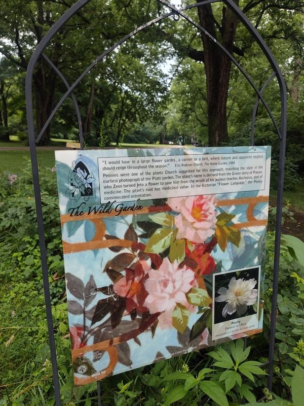
Photographed by Craig Doda, July 11, 2026
1. The Wild Garden Marker
"I would have in a large flower garden, a corner or a belt, where nature and apparent neglect should reign throughout the season." - Ella Rodman Church, The Home Garden, 1884
Peonies were one of the plants suggested for this approach, matching the style in the earliest photograph of the Piatt garden. The plant's name is derived from the Green story of Paean, who Zeus turned into a flower to save him from the wrath of his jealous teacher, Asclepius, god of medicine. The plant's root has medicinal value. In the Victorian "Flower Language," the Peony communicated ostentation.
Erected by Piatt Castle Mac-A-Cheek; The Mac-A-Cheek Foundation for the Humanities; The Columbus Foundation; Mary Eleanor Morris Fund; Ohio Humanities; Logan County Master Gardeners of The Ohio State University Extension Office.
Topics. This historical marker is listed in these topic lists: Arts, Letters, Music • Horticulture & Forestry. A significant historical year for this entry is 1884.
Location. 40° 15.051′ N, 83° 43.63′ W. Marker is near West Liberty, Ohio, in Logan County. It is in Monroe Township. It is at the intersection of County
this page online

Regionally, this marker is in Ohio’s Till Plains. It is also in the American Midwest and in the Corn Belt. Globally, it is in North America, the Western Hemisphere, the Western World, and the Anglosphere. Historically, it finds itself in what was once the Viceroyalty of New France, the Haudenosaunee (Iroquois) Confederacy, the territory of the Mississippian Culture, and the Northwest Territory.
Other nearby markers. At least 8 other markers are within walking distance of this marker: Sun in the Center (here, next to this marker); Jeepers Creepers (here, next to this marker); Blowing in the Wind (a few steps from this marker); From Generation to Generation (a few steps from this marker); Why do Families Move? (a few steps from this marker); Connecting the Conservatory to the Garden (a few steps from this marker); Over a Century of Tours: Family Business (a few steps from this marker);
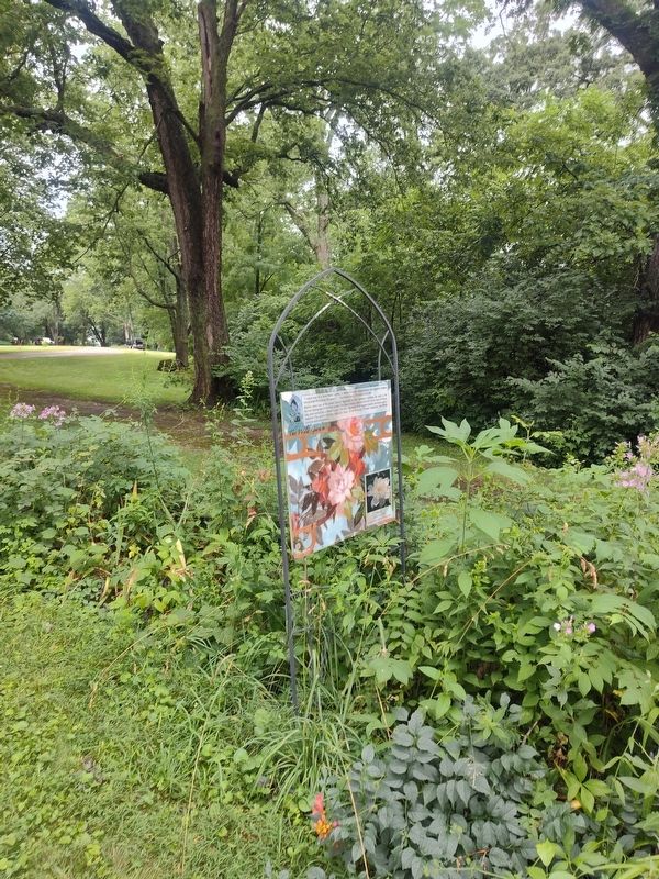
Photographed by Craig Doda, July 11, 2026
2. The Wild Garden Marker
Credits. This page was last revised on August 11, 2026. It was originally submitted on July 30, 2026, by Craig Doda of Napoleon, Ohio. This page has been viewed 13 times since then. Photos: 1, 2. submitted on July 30, 2026, by Craig Doda of Napoleon, Ohio. • Devry Becker Jones was the editor who published this page.
