Morrisburg in South Dundas in Stormont Dundas and Glengarry United Counties, Ontario — Central Canada (North America)
Robertson House
⎯⎯⎯
La Maison des Robertson
Photographed by Robert Rusaw, June 5, 2026
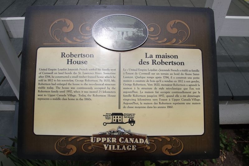
1. Robertson House Marker

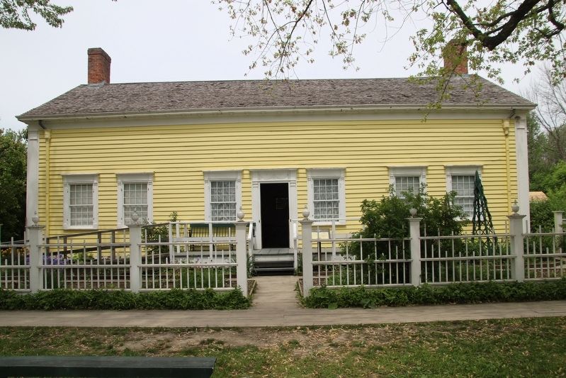
United Empire Loyalist Jeremiah French settled his family west of Cornwall on land beside the St. Lawrence River. Sometime after 1784, he constructed a small timber framed home which he sold in 1812 to his son-in-law, George Robertson. By 1820, Mr. Robertson had enlarged the house to the neo-classical structure visible today. The house was continuously occupied by the Robertson family until 1957, when it was moved 25 kilometers west to Upper Canada Village. Today, the Robertson House represents a middle class home in the 1860s.
Le United Empire Loyalist Jeremiah French a établi sa famille à l'ouest de Cornwall sur un terrain au bord du fleuve Saint- Laurent. Quelque temps après 1784, il a construit une petite maison à ossature de bois qu'il a vendue en 1812 à son gendre, George Robertson. Vers 1820, monsieur Robertson a agrandi la maison à la structure de style néo-classique que l'on voit aujourd'hui. La maison fut occupée continuellement par la famille Robertson jusqu'en 1957, quand elle a été déménagée vingt-cinq kilomètres vers l'ouest à Upper Canada
this page online
Erected by Upper Canada Village.
Topics. This historical marker is listed in this topic list: Settlements & Settlers. A significant historical year for this entry is 1820.
Location. 44° 56.8′ N, 75° 3.997′ W. Marker is in South Dundas, Ontario, in Stormont Dundas and Glengarry United Counties. It is in Morrisburg. It can be reached from Stormont, Dundas and Glengarry County Road 2, on the right when traveling east. This marker is located in Upper Canada Village. Touch for map. Marker is at or near this postal address: 13740 Stormont Dundas and Glengarry County Road 2, South Dundas ON K0C 1X0, Canada. Touch for directions.

Regionally, this marker is in Eastern Ontario. It is also in Central Canada. Globally, it is in North America, the Western Hemisphere, the Western World, and the Anglosphere. Historically, it finds itself in what was once a British colony, the Viceroyalty of New France, the Haudenosaunee (Iroquois) Confederacy, and Rupert’s Land.
Other nearby markers. At least 8 other markers are within
Photographed by Robert Rusaw, June 5, 2026
2. Robertson House Marker
Photographed by Robert Rusaw, June 5, 2026
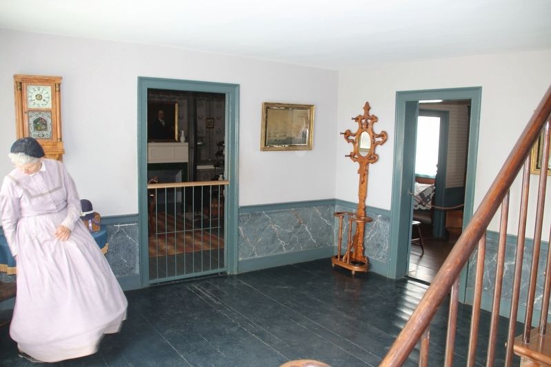
3. Robertson House
Photographed by Robert Rusaw, June 5, 2026
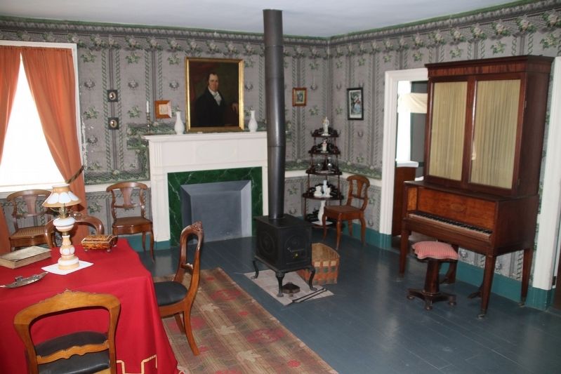
4. Robertson House
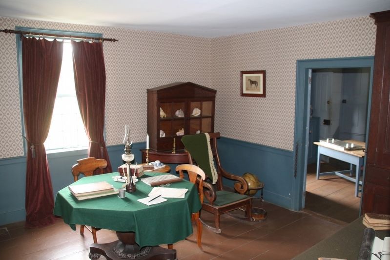
Photographed by Robert Rusaw, June 5, 2026
5. Robertson House
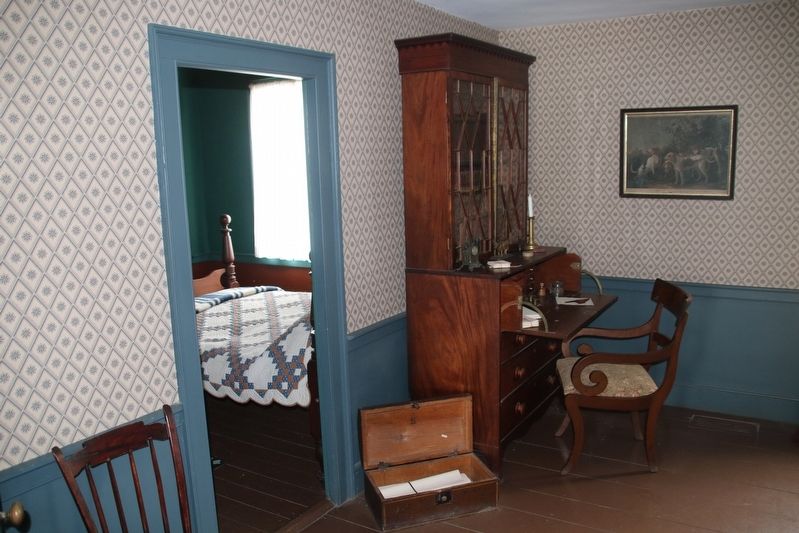
Photographed by Robert Rusaw, June 5, 2026
6. Robertson House
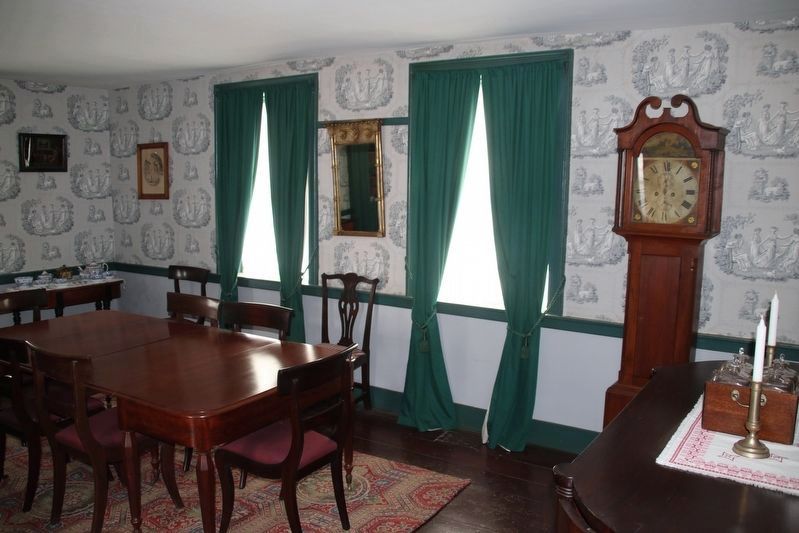
Photographed by Robert Rusaw, June 5, 2026
7. Robertson House / La Maison des Robertson
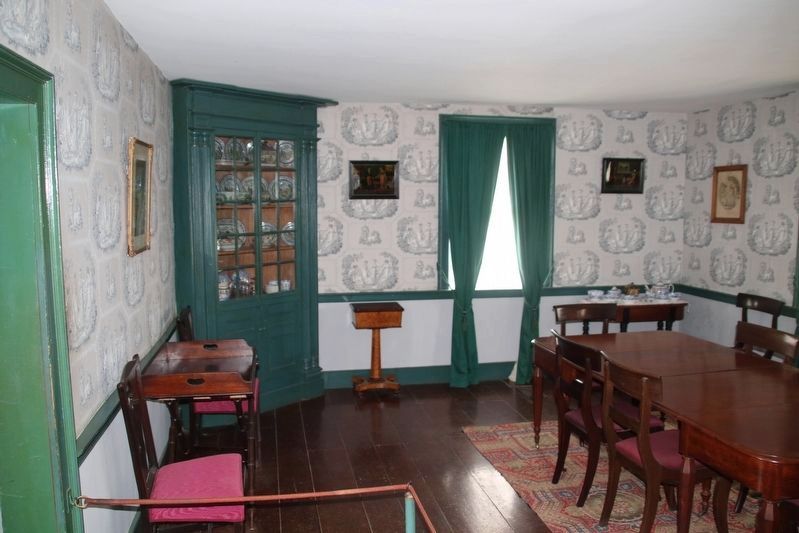
Photographed by Robert Rusaw, June 5, 2026
8. Robertson House / La Maison des Robertson
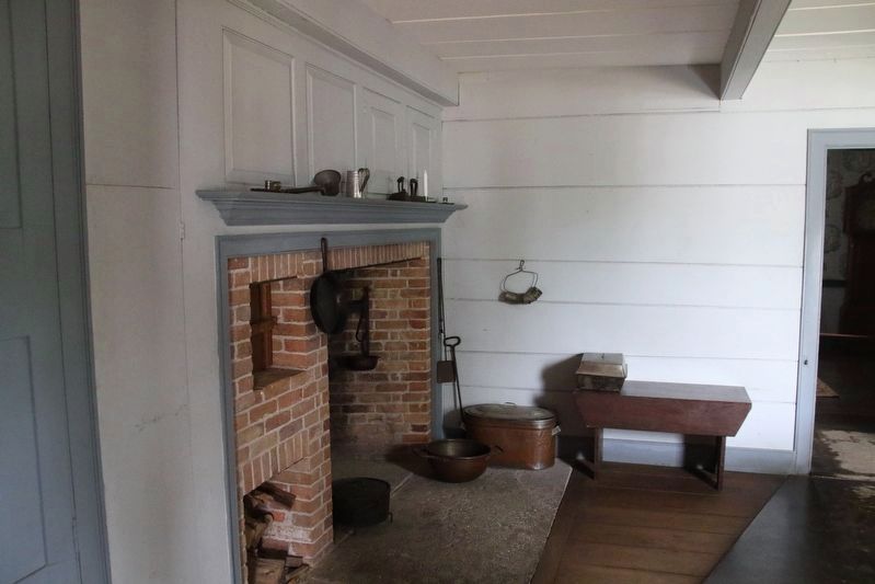
Photographed by Robert Rusaw, June 5, 2026
9. Robertson House / La Maison des Robertson
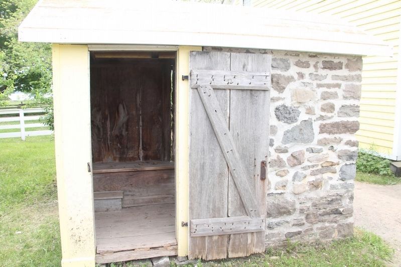
Photographed by Robert Rusaw, June 5, 2026
10. Robertson House / La Maison des Robertson
Credits. This page was last revised on August 17, 2026. It was originally submitted on July 31, 2026, by Robert Rusaw of Massena, New York. This page has been viewed 21 times since then. Photos: 1, 2, 3, 4, 5, 6. submitted on July 31, 2026, by Robert Rusaw of Massena, New York. 7, 8, 9. submitted on August 2, 2026, by Robert Rusaw of Massena, New York. 10. submitted on August 7, 2026, by Robert Rusaw of Massena, New York. • Andrew Ruppenstein was the editor who published this page.
