Goderich in Huron County, Ontario — Central Canada (North America)
The Founding of Goderich
⎯⎯⎯
La Fondation de Goderich
Photographed by Tim Boyd, July 15, 2026
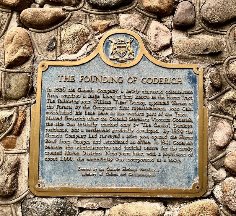
1. The Founding of Goderich Marker

In 1826 the Canada Company, a newly chartered colonization firm, acquired a large block of land known as the Huron Tract. The following year William “Tiger” Dunlop, appointed Warden of the Forests by the Company's first superintendent, John Galt, established his base here in the western part of the Tract. Named Goderich after the Colonial Secretary, Viscount Goderich, the site was initially marked only by "The Castle”, Dunlop's residence, but a settlement gradually developed. By 1829 the Canada Company had surveyed a town plot, opened the Huron Road from Guelph, and established an office. In 1841 Goderich became the administrative and judicial centre for the newly created Huron District. Nine years later, with a population of about 1,000, the community was incorporated as a town.
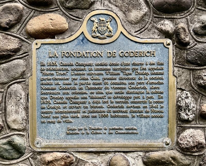
En 1826, Canada Company, société dotée d'une charte à des fins de colonisation, acquiert un immense territoire que l'on appelait Huron Tract. L'année suivante, William Tiger Dunlop, nomme garde forestier par John Galt premier directeur de la société, établic ici dans la partie ouest du domaine, son port d'attache. Nomme Goderich en l’honneur du vicomte Goderich, alors Secretaire aux colonies ce site que seule distingue la cabine
this page online
Erected 1963 by Ontario Heritage Foundation.
Topics and series. This historical marker is listed in this topic list: Settlements & Settlers. In addition, it is included in the Canada, Ontario Heritage Trust series list. A significant historical year for this entry is 1826.
Location. 43° 44.625′ N, 81° 43.216′ W. Marker is in Goderich, Ontario, in Huron County. It can be reached from Harbour Street. The marker is in Lions Harbour Park, accessible on foot approx. 120 metres west from the park entrance on Harbour Street, or the parking lot. Touch for map. Marker is at or near this postal address: 166 Harbour St, Goderich ON N7A 2K9, Canada. Touch for directions.

Regionally, this marker is in the Huron-Perth-Waterloo-Wellington Area and in Southwestern Ontario. It is also in Central Canada. Globally, it is in North America, on the Great Lakes, in the Western Hemisphere, in the Western World, and in the Anglosphere. Historically, it finds itself in
Photographed by Tim Boyd, July 15, 2026
2. The Founding of Goderich / La Fondation de Goderich Marker
French side
Other nearby markers. At least 8 other markers are within walking distance of this marker: Tiger Dunlop’s Castle (a few steps from this marker); Tornado 2011 (within shouting distance of this marker); Canada Company Headquarters (within shouting distance of this marker); Thomas Mercer Jones, 1795-1868 (within shouting distance of this marker); Salt Brine Plants (about 120 meters away, measured in a direct line); The Original Lighthouse (about 150 meters away); The Great Storm of 1913 (about 240 meters away); The Canadian Pacific Railway Station (approx. 0.3 kilometers away). Touch for a list and map of all markers in Goderich.
Photographed by Tim Boyd, July 15, 2026
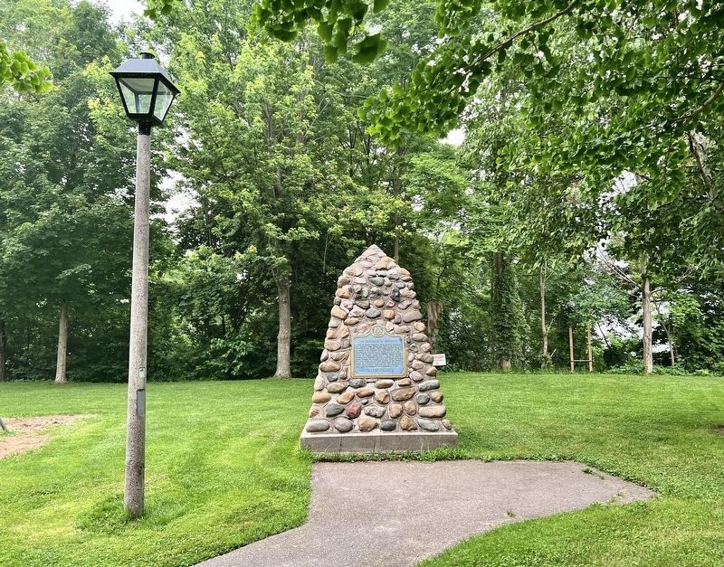
3. The Founding of Goderich / La Fondation de Goderich Marker
Facing the English language side
Photographed by Tim Boyd, July 15, 2026
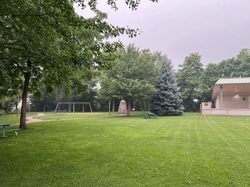
4. The Founding of Goderich / La Fondation de Goderich Marker
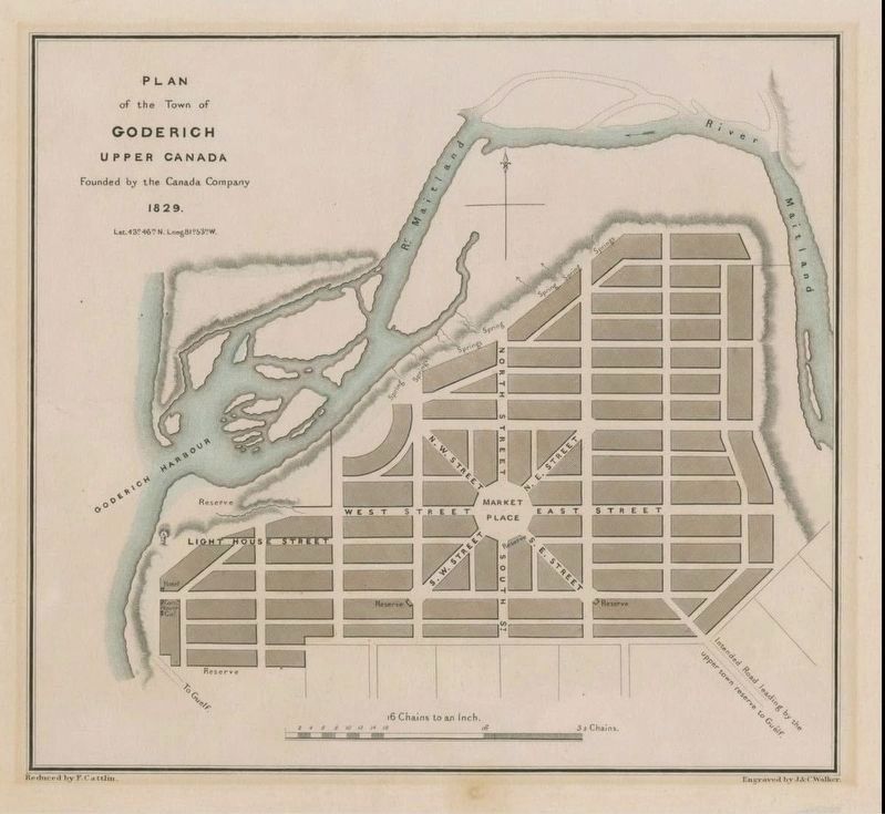
5. Plan for the town of Goderich, 1829
University of Guelph (public domain)
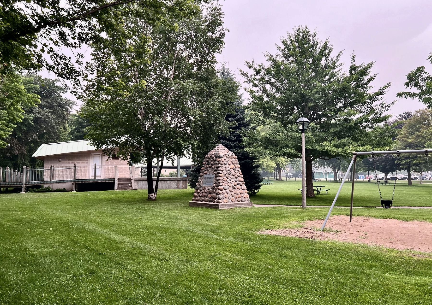
Photographed by Tim Boyd, July 15, 2026
6. The Founding of Goderich / La Fondation de Goderich Marker
Facing the French language side
Credits. This page was last revised on August 1, 2026. It was originally submitted on August 1, 2026, by Tim Boyd of Hamilton, Ontario. This page has been viewed 14 times since then. Photos: 1, 2, 3, 4, 5, 6. submitted on August 1, 2026, by Tim Boyd of Hamilton, Ontario. • Andrew Ruppenstein was the editor who published this page.
