Goderich in Huron County, Ontario — Central Canada (North America)
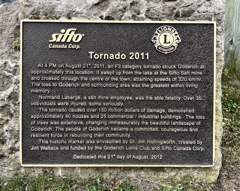
Tornado 2011
Photographed by Tim Boyd, July 15, 2026
1. Tornado 2011 Marker
Normand Laberge, a salt mine employee, was the sole fatality. Over 35 individuals were injured, some seriously.
The tornado caused over 150 million dollars of damage, demolished approximately 40 houses and 25 commercial / industrial buildings. The loss of trees was extensive, changing immeasurably the beautiful landscape of Goderich. The people of Goderich became a committed, courageous and resilient force in rebuilding their community.
This historic marker was envisioned by Dr. Jim Hollingworth, created by Jim Wallace and funded by the Goderich Lions Club and Sifto Canada Corp.
Erected 2012 by Sifto Canada Corp./ Lions Club.
Topics. This historical marker is listed in this topic list: Disasters. A significant historical date for this entry is August 21, 2011.
Location. 43° 44.624′ N, 81° 43.166′ W. Marker is in Goderich,
this page online

Regionally, this marker is in the Huron-Perth-Waterloo-Wellington Area and in Southwestern Ontario. It is also in Central Canada. Globally, it is in North America, on the Great Lakes, in the Western Hemisphere, in the Western World, and in the Anglosphere. Historically, it finds itself in what was once a British colony, the Viceroyalty of New France, the Haudenosaunee (Iroquois) Confederacy, and Rupert’s Land.
Other nearby markers. At least 8 other markers are within walking distance of this marker: Canada Company Headquarters (within shouting distance of this marker); Thomas Mercer Jones, 1795-1868 (within shouting distance of this marker); The Founding of Goderich / La Fondation de Goderich (within shouting distance of this marker); Tiger Dunlop’s Castle (within shouting distance of this marker); Salt Brine Plants
Photographed by Tim Boyd, July 15, 2026
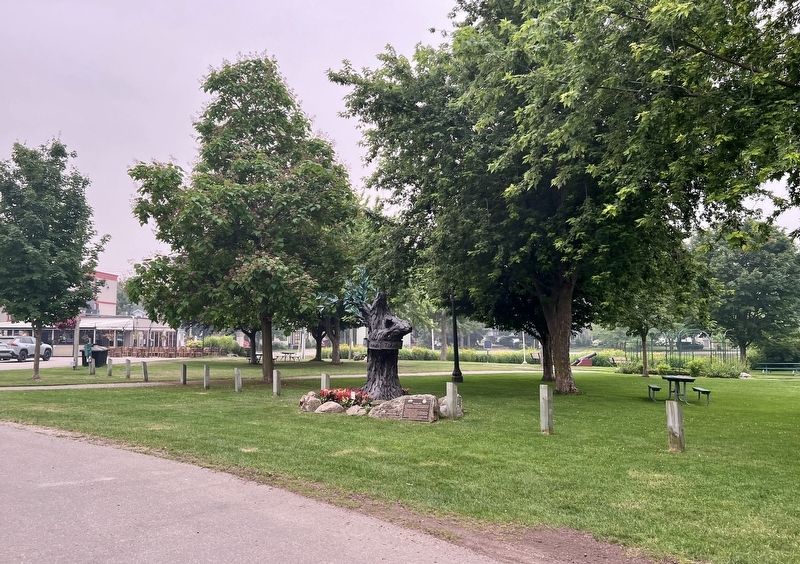
2. Tornado 2011 Marker
Photographed by Tim Boyd, July 15, 2026
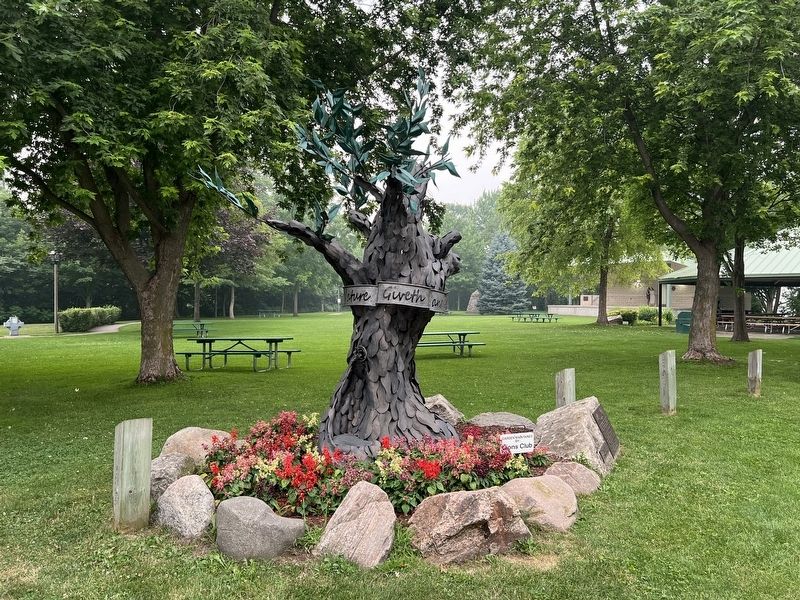
3. Memorial artwork dedicated to the 2011 tornado
Credits. This page was last revised on August 2, 2026. It was originally submitted on August 2, 2026, by Tim Boyd of Hamilton, Ontario. This page has been viewed 12 times since then. Photos: 1, 2, 3. submitted on August 2, 2026, by Tim Boyd of Hamilton, Ontario. • Andrew Ruppenstein was the editor who published this page.
