
Goderich in Huron County, Ontario — Central Canada (North America)
Sky Harbour
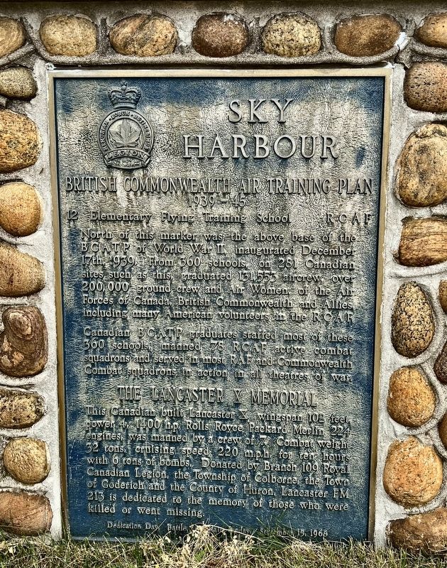
British Commonwealth Air Training Plan
| — | 1939-1945 | — |
Photographed by Tim Boyd, July 16, 2026
1. British Commonwealth Air Training Plan Marker
12 Elementary Flying Taining School RCAF
North of this marker was the above base of the BCATP of World War II inaugurated December 17th, 1939. From 360 schools on 281 Canadian sites such as this graduated 131,553 aircrew, over 200,000 ground crew and Air Women, of the Air Forces of Canada, British Commonwealth and Allies, including many American volunteers in the RCAF.
Canadian BCATP graduates staffed most of these 360 schools, manned 78 RCAF active combat squadrons and served in most RAF and Commonwealth Combat squadrons in action in all theatres of war.
The Lancaster X Memorial
This Canadian built Lancaster X, wingspan 102 feet, power 4, 1400 h.p. Rolls Royce Packard Merlin 224 engines, was manned by a crew of 7. Combat weight 32 tons, cruising speed 220 mph for ten hours with 6 tons of bombs. Donated by Branch 109 Royal Canadian Legion, the Township of Colborne, the Town of Goderich and the County of Huron, Lancaster FM 213 is dedicated to the memory of those who were killed or went missing.
Dedication Day Battle of Britain Sunday, September 15, 1968
Erected 1968.
Topics. This historical
this page online
Location. 43° 45.749′ N, 81° 42.663′ W. Marker is in Goderich, Ontario, in Huron County. It is at the intersection of Airport Road and Mill Road, on the right when traveling west on Airport Road. The marker is accessible from the main parking lot of the Goderich Regional Airport. Touch for map. Marker is at or near this postal address: 33874 Airport Road, Goderich ON N7A 3Y2, Canada. Touch for directions.

Regionally, this marker is in the Huron-Perth-Waterloo-Wellington Area and in Southwestern Ontario. It is also in Central Canada. Globally, it is in North America, on the Great Lakes, in the Western Hemisphere, in the Western World, and in the Anglosphere. Historically, it finds itself in what was once a British colony, the Viceroyalty of New France, the Haudenosaunee (Iroquois) Confederacy, and Rupert’s Land.
Other nearby markers. At least 8 other markers are within walking distance of this marker: The British Commonwealth Air Training Plan (here, next to this marker); Life and Times (approx.
Photographed by Tim Boyd, July 16, 2026
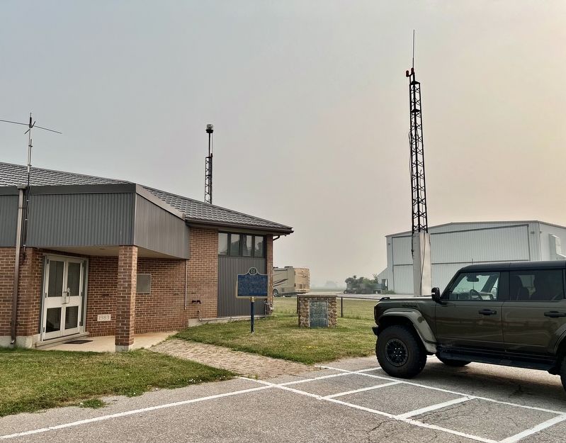
2. British Commonwealth Air Training Plan Marker
On the right of the blue provincial plaque
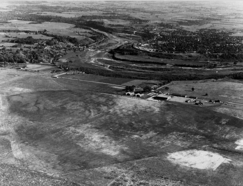
3. RCAF airfield at Goderich, ca 1940
Source: Royal Canadian Air Force (public domain)
Credits. This page was last revised on August 2, 2026. It was originally submitted on August 2, 2026, by Tim Boyd of Hamilton, Ontario. This page has been viewed 11 times since then. Photos: 1, 2, 3. submitted on August 2, 2026, by Tim Boyd of Hamilton, Ontario. • Andrew Ruppenstein was the editor who published this page.
