
Marker Logo
THE HISTORICAL
MARKER DATABASE
“Bite-Size Bits of Local, National, and Global History”
Goderich in Huron County, Ontario — Central Canada (North America)
 

The British Commonwealth Air Training Plan
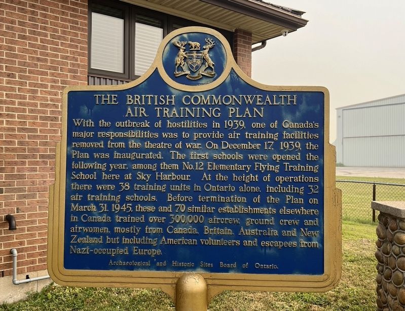
 
 
The British Commonwealth Air Training Plan Marker image. Click for full size.
Photographed by Tim Boyd, July 16, 2026
1. The British Commonwealth Air Training Plan Marker
Inscription. With the outbreak of hostilities in 1939, one of Canada’s major responsibilities was to provide air training facilities removed from the theatre of war. On December 17, 1939, the Plan was inaugurated. The first schools were opened the following year, among them No.12 Elementary Flying Training School here at Sky Harbour. At the height of operations there were 38 training units in Ontario alone, including 32 air training schools. Before termination of the Plan on March 31, 1945, these and 70 similar establishments elsewhere in Canada trained over 300,000 aircrew ground crew and airwomen, mostly from Canada, Britain, Australia and New Zealand but including American volunteers and escapees from Nazi-occupied Europe.
 
Erected 1968 by Archaeological and Historic Sites Board of Ontario.
 
Topics and series. This historical marker is listed in these topic lists: Air & SpaceEducationWar, World II. In addition, it is included in the Canada, Ontario Heritage Trust series list. A significant historical date for this entry is December 17, 1939.
 
Location. 43° 45.749′ N, 81° 42.665′ W. Marker is in Goderich, Ontario, in Huron County.
Paid Advertisement
Click or scan to see
this page online
It is at the intersection of Airport Road and Mill Road, on the right when traveling west on Airport Road. The marker is accessible from the main parking lot of the Goderich Regional Airport, approx. 100 metres from the Airport Road entrance. Touch for map. Marker is at or near this postal address: 33874 Airport Road, Goderich ON N7A 3Y2, Canada. Touch for directions.

Regionally, this marker is in the Huron-Perth-Waterloo-Wellington Area and in Southwestern Ontario. It is also in Central Canada. Globally, it is in North America, on the Great Lakes, in the Western Hemisphere, in the Western World, and in the Anglosphere. Historically, it finds itself in what was once a British colony, the Viceroyalty of New France, the Haudenosaunee (Iroquois) Confederacy, and Rupert’s Land.

Other nearby markers. At least 8 other markers are within walking distance of this marker: Sky Harbour (here, next to this marker); Life and Times (approx. 0.8 kilometers away); Days of the Canada Company (approx. 0.8 kilometers away); Gairbraid: the Dream & the Memory (approx. 0.8 kilometers away); “Tiger” Dunlop 1792-1848 (approx. 0.9 kilometers
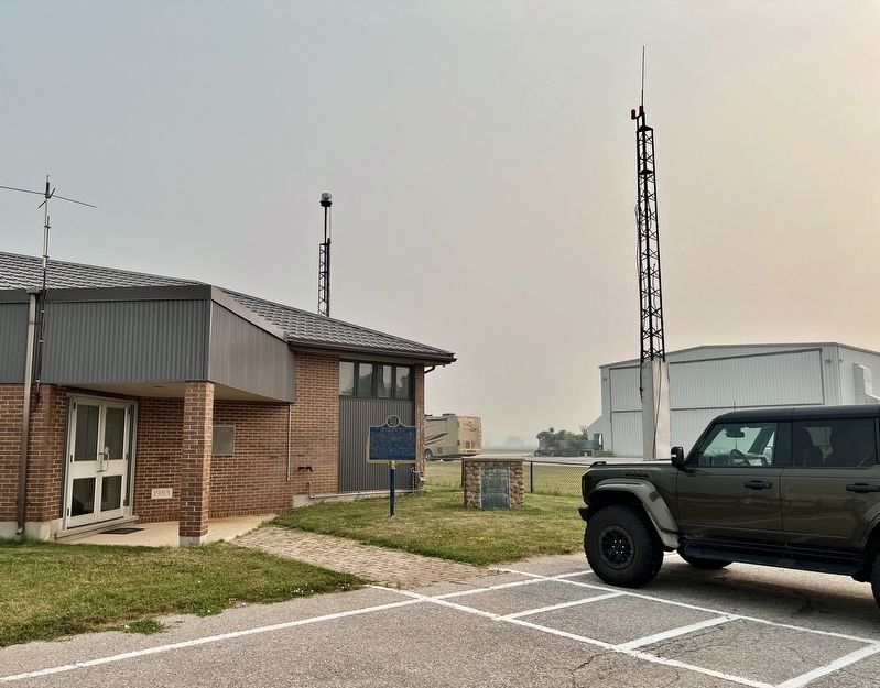
The British Commonwealth Air Training Plan Marker image. Click for full size.
Photographed by Tim Boyd, July 16, 2026
2. The British Commonwealth Air Training Plan Marker
away); The Tomb on Dunlop’s Hill (approx. 0.9 kilometers away); A Resting Place (approx. 0.9 kilometers away); Huron County Gaol (approx. 1.4 kilometers away). Touch for a list and map of all markers in Goderich.
 
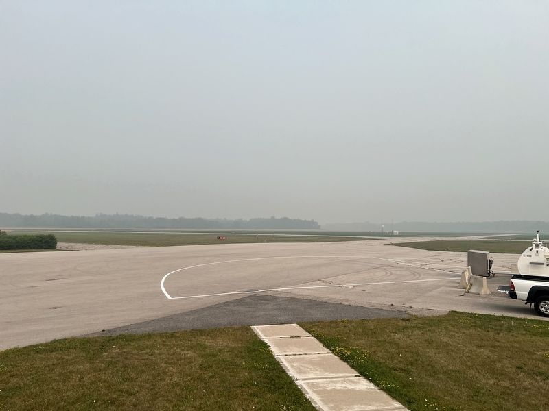
Goderich Regional Airport, 2026, site of No. 12 Training School image. Click for full size.
Photographed by Tim Boyd, July 16, 2026
3. Goderich Regional Airport, 2026, site of No. 12 Training School
 
 
Credits. This page was last revised on August 2, 2026. It was originally submitted on August 2, 2026, by Tim Boyd of Hamilton, Ontario. This page has been viewed 7 times since then. Photos:   1, 2, 3. submitted on August 2, 2026, by Tim Boyd of Hamilton, Ontario. • Andrew Ruppenstein was the editor who published this page.

m=307346

CeraNet Cloud Computing sponsors the Historical Marker Database.
This website earns income from purchases you make after using our links to Amazon.com. We appreciate your support.
Paid Advertisement
Sep. 5, 2026
