
Goderich in Huron County, Ontario — Central Canada (North America)
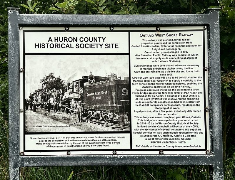
Ontario West Shore Railway
| — | A Huron County Historical Society Site | — |
Photographed by Tim Boyd, July 16, 2026
1. Ontario West Shore Railway Marker
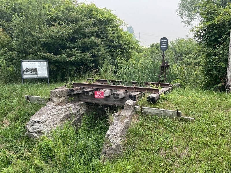
Culvert bridges were constructed wherever necessary at municipal drainage ditches along the line. Only one still remains as a visible site and it was built circa 1909.
A Power Dam (900 MW) was also to be constructed on the Maitland River near Goderich to supply electricity to the town as well as the railway when completed, enabling the OWSR to operate as an Electric Railway... Progress continued including the building of a large trestle bridge across the Nine Mile River at Port Albert and rail bed as far as Kintail, a distance of about 20 miles. At this point (c1912) it was discovered the remaining funds raised for its construction had been stolen from the O.W.S.R company's bank account, resulting in the stopping of all work.
Legal process, after a few years, eventually determined the perpetrator.
This
this page online
Erected by Huron County Historical Society.
Topics. This historical marker is listed in this topic list: Railroads & Streetcars. A significant historical year for this entry is 1907.
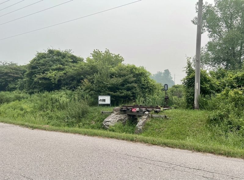
Location. 43° 50.287′ N, 81° 41.978′ W. Marker is in Goderich, Ontario, in Huron County. It is on Sheppardton Line 0.1 kilometers Highway 21 (Bluewater Highway), on the right when traveling north. Touch for map. Marker is at or near this postal address: 82881 Bluewater Hwy, Goderich ON N7A 3X9, Canada. Touch for directions.

Regionally, this marker is in the Huron-Perth-Waterloo-Wellington Area and in Southwestern Ontario. It is also in Central Canada. Globally, it is in North America, on the Great Lakes, in the Western
Photographed by Tim Boyd, July 16, 2026
2. Ontario West Shore Railway Marker
Detail of the reconstructed bridge segment
Other nearby markers. At least 8 other markers are within 10 kilometers of this marker, measured as the crow flies: Site of St. Andrew’s United Church (approx. 2.6 kilometers away); Sky Harbour (approx. 8.5 kilometers away); The British Commonwealth Air Training Plan (approx. 8.5 kilometers away); Life and Times (approx. 8.8 kilometers away); Gairbraid: the Dream & the Memory (approx. 8.8 kilometers away); Days of the Canada Company (approx. 8.8 kilometers away); The Tomb on Dunlop’s Hill (approx. 8.8 kilometers away); A Resting Place (approx. 8.8 kilometers away). Touch for a list and map of all markers in Goderich.
Photographed by Tim Boyd, July 16, 2026
3. Ontario West Shore Railway Marker
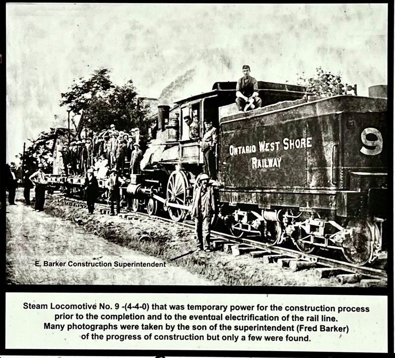
4. Ontario West Shore Railway marker photo and caption detail
Credits. This page was last revised on August 2, 2026. It was originally submitted on August 2, 2026, by Tim Boyd of Hamilton, Ontario. This page has been viewed 12 times since then. Photos: 1, 2, 3, 4. submitted on August 2, 2026, by Tim Boyd of Hamilton, Ontario. • Andrew Ruppenstein was the editor who published this page.
