Saunders Springs Nature Preserve in Radcliff in Hardin County, Kentucky — The American South (East South Central)
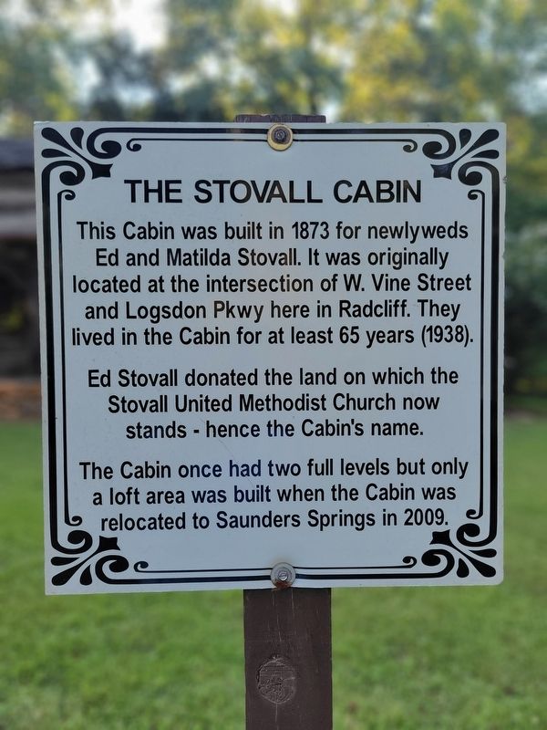
The Stovall Cabin
Photographed by Kevin W., August 26, 2024
1. The Stovall Cabin Marker
Ed Stovall donated the land on which the Stovall United Methodist Church now stands hence the Cabin's name.
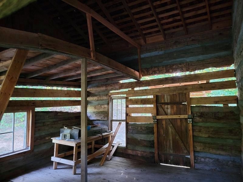
The Cabin once had two full levels but only a loft area was built when the Cabin was relocated to Saunders Springs in 2009.
Erected by Radcliff Parks and Recreation Department.
Topics. This historical marker is listed in these topic lists: Architecture • Settlements & Settlers. A significant historical year for this entry is 1873.
Location. 37° 51.289′ N, 85° 56.615′ W. Marker is in Radcliff, Kentucky, in Hardin County. It is in Saunders Springs Nature Preserve. It is on Saunders Spring Lane 0.1 miles east of North Wilson Road, on the left when traveling east. Touch for map. Marker is at or near this postal address: 100 Saunders Spring Ln, Radcliff KY 40160, United States of America. Touch for directions.

Regionally, this marker is in the American South and specifically in the Upper
this page online
Other nearby markers. At least 8 other markers are within 3 miles of this marker, measured as the crow flies: The Raine Cabin (within shouting distance of this marker); The Atcher Cabin (within shouting distance of this marker); Stith Cabin (1874) (approx. 0.4 miles away); Army Armored Forces Memorial (approx. half a mile away); M103 Heavy Tank (approx. 0.8 miles away); Radcliff Veterans Memorial (approx. 0.9 miles away); M24 Chaffee (approx. 2.2 miles away); Camp Knox (approx. 2.3 miles away). Touch for a list and map of all markers in Radcliff.
Photographed by Kevin W., August 26, 2024
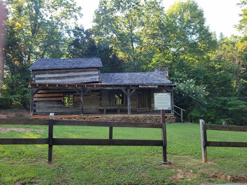
2. The Stovall Cabin and Marker
Photographed by Kevin W., August 26, 2024
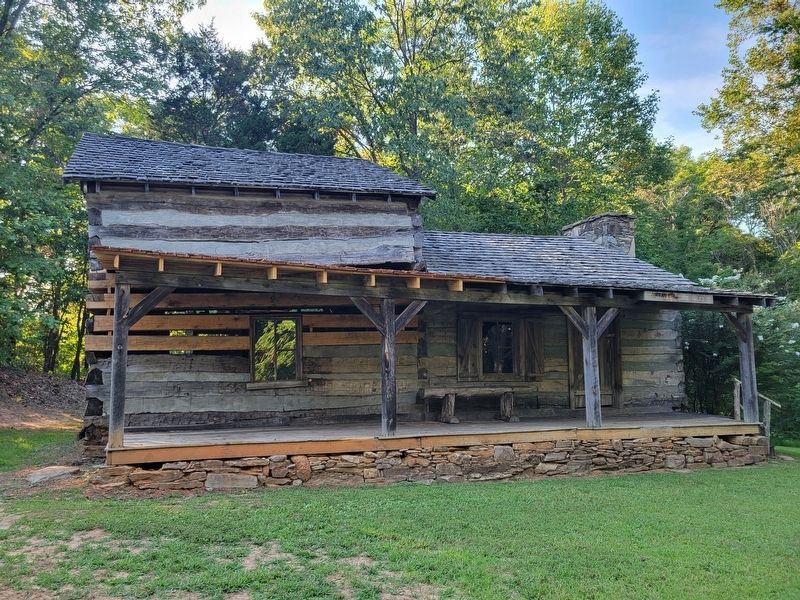
3. The Stovall Cabin
Photographed by Kevin W., August 26, 2024
4. The loft area inside the Stovall Cabin
Credits. This page was last revised on August 2, 2026. It was originally submitted on August 2, 2026, by Kevin W. of Stafford, Virginia. This page has been viewed 13 times since then. Photos: 1, 2, 3, 4. submitted on August 2, 2026, by Kevin W. of Stafford, Virginia.
