Near Bridgewater in Rockingham County, Virginia — The American South (Mid-Atlantic)
Rockingham County
⎯⎯⎯
Augusta County
Photographed by Tim Fillmon, July 23, 2026
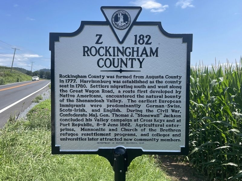
1. Rockingham County / Augusta County side of marker
Rockingham County. Rockingham County was formed from Augusta County in 1777. Harrisonburg was established as the county seat in 1780. Settlers migrating south and west along the Great Wagon Road, a route first developed by Native Americans, encountered the natural bounty of the Shenandoah Valley. The earliest European immigrants were predominantly German-Swiss, Scots-Irish, and English. During the Civil War, Confederate Maj. Gen. Thomas J. "Stonewall" Jackson concluded his Valley campaign at Cross Keys and at Port Republic, 8-9 June 1862. Agricultural enterprises, Mennonite and Church of the Brethren refugee resettlement programs, and colleges and universities later attracted new community members.
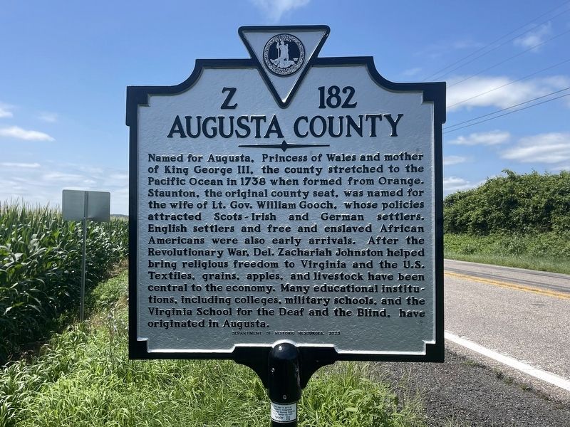
Augusta County. Named for Augusta, Princess of Wales and mother of King George III, the county stretched to the Pacific Ocean in 1738 when formed from Orange. Staunton, the original county seat, was named for the wife of Lt. Gov. William Gooch, whose policies attracted Scots-Irish and German settlers. English settlers and free and enslaved African Americans were also early arrivals. After the Revolutionary War, Del. Zachariah
this page online
Erected 2021 by Department of Historic Resources. (Marker Number Z-182.)
Topics. This historical marker is listed in this topic list: Political Subdivisions. A significant historical year for this entry is 1738.
Location. 38° 21.736′ N, 79° 1′ W. Marker is near Bridgewater, Virginia, in Rockingham County. It is on Warm Springs Pike (Virginia Route 42) 0.1 miles north of Argahyll Lane, on the left when traveling south. Touch for map. Marker is at or near this postal address: 9946 Warm Springs Pike, Bridgewater VA 22812, United States of America. Touch for directions.

Regionally, this marker is in the Shenandoah Valley. It is also in the American South and specifically in the Upper South. Globally, it is in North America, the Western Hemisphere, the Western World, and the Anglosphere. Historically, it finds itself in what was once the territory
Photographed by Tim Fillmon, July 23, 2026
2. Augusta County side of marker
Other nearby markers. At least 8 other markers are within 3 miles of this marker, measured as the crow flies: Mossy Creek (approx. ¾ mile away); a different marker also named Bridgewater (approx. 2.4 miles away); The Roscoe Burgess Riverwalk (approx. 2.4 miles away); a different marker also named Bridgewater (approx. 2.4 miles away); The Litten Water Gardens at Edgebriar Park (approx. 2.4 miles away); In Honor and Remembrance (approx. 2.4 miles away); Dr. John G. Brown House (approx. 2½ miles away); Bridgewater Historic District (approx. 2½ miles away). Touch for a list and map of all markers in Bridgewater.
Other markers no longer nearby. Rockingham County / Augusta County (has been reported to have been replaced with this marker); Bridgewater (was approx. 2.4 miles away but has been replaced with another marker now near it).
Photographed by Tim Fillmon, July 23, 2026
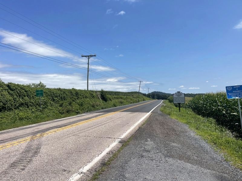
3. Rockingham County / Augusta County Marker
Credits. This page was last revised on August 10, 2026. It was originally submitted on August 2, 2026, by Tim Fillmon of Webster, Florida. This page has been viewed 14 times since then. Photos: 1, 2, 3. submitted on August 2, 2026, by Tim Fillmon of Webster, Florida.
