Peterborough, England, United Kingdom — Northwestern Europe (the British Isles)
Railway Town
Photographed by Ray Gurganus, May 6, 2026
1. Railway Town Marker
The Great Northern Railway built houses in New England to the north of the city centre, the Great Eastern Railway around the present football ground and the London North Western Railway along Oundle Road.
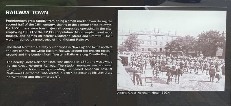
The nearby Great Northern Hotel was opened in 1852 and was owned by the Great Northern Railway. The station manager was not used to running a hotel, perhaps leading the famed American novelist Nathaniel Hawthorne, who visited in 1857, to describe his stay there as "wretched and uncomfortable".
Topics. This historical marker is listed in this topic list: Railroads & Streetcars. A significant historical year for this entry is 1861.
Location. 52° 34.493′ N, 0° 14.885′ W. Marker is in Peterborough, England. It is on Station Road, on the left
this page online

Regionally, this marker is in East Anglia. Globally, it is on the Atlantic Ocean, in the North Atlantic Region, in Europe, in Atlantic Europe, on one of the British Isles, in the Western World, and in the Anglosphere. Historically, it finds itself in what was once the Roman Empire.
Other nearby markers. At least 8 other markers are within walking distance of this marker: Age of Steam (about 90 meters away, measured in a direct line); Historic Peterborough (about 240 meters away); Body Snatchers and Olympians (about 240 meters away); Street of Cows (approx. 0.3 kilometers away); The Guildhall (approx. 0.4 kilometers away); Markets and Monarchs (approx. 0.4 kilometers away); St Thomas Becket (approx. half a kilometer away); Abbey and Cathedral (approx. half a kilometer away). Touch for a list and map of all markers in Peterborough.
Credits. This page was last revised on August 3, 2026. It was originally submitted on August 3, 2026, by Ray Gurganus of Washington, District of Columbia. This page has been viewed 10 times since then. Photo 1. submitted on August 3, 2026, by Ray Gurganus of Washington, District of Columbia. • Andrew Ruppenstein was the editor who published this page.
