Clarksville in Montgomery County, Tennessee — The American South (East South Central)
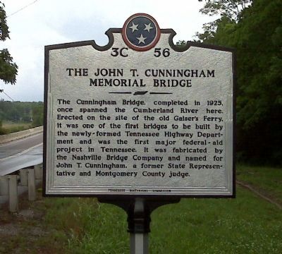
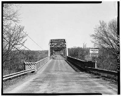
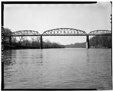
The John T. Cunningham Memorial Bridge
Erected by Tennessee Historical Commission. (Marker Number 3C 56.)
Topics and series. This historical marker is listed in this topic list: Bridges & Viaducts. In addition, it is included in the Tennessee Historical Commission series list. A significant historical year for this entry is 1925.
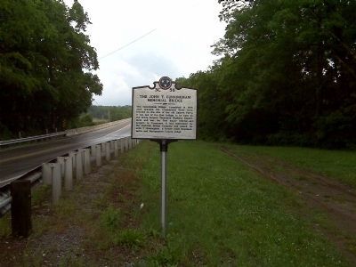
Location. 36° 30.183′ N, 87° 22.837′ W. Marker is in Clarksville, Tennessee, in Montgomery County. Marker is at the intersection of Zinc Plant Road and River Road, on the left when traveling west on Zinc Plant Road. There is a big gravel area to pull off and park near the marker. Touch for map. Marker is in this post office area: Clarksville TN 37040, United States of America. Touch for directions.
Other nearby markers. At least 8 other markers are within 2 miles of this marker, measured as the crow flies. Burt Home Infirmary (approx. 1.3 miles away); Historic Mount Olive Cemetery (approx. 1.6 miles away); Town Spring (approx. 1.9 miles away); Whitfield, Bradley & Co. (approx. 2 miles away); Dog Hill (approx. 2 miles away); Horace H. Lurton (approx. 2 miles away); In Memory of Colonel Valentine Sevier (approx. 2 miles away); Surrender of Clarksville (approx. 2 miles away). Touch for a list and map of all markers in Clarksville.
Credits. This page was last revised on June 16, 2016. It was originally submitted on May 16, 2010, by Currey Russell of Indian Mound, Tennessee. This page has been viewed 1,374 times since then and 62 times this year. Photos: 1, 2. submitted on May 16, 2010, by Currey Russell of Indian Mound, Tennessee. 3, 4. submitted on January 13, 2015, by J. Makali Bruton of Accra, Ghana. • Syd Whittle was the editor who published this page.


