Orange Township near Tuppers Plains in Meigs County, Ohio — The American Midwest (Great Lakes)
William E. Matlack
Photographed by Mark Parker, July 13, 2026
1. William E. Matlack Marker
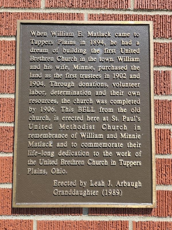
When William E. Matlack came to Tuppers Plains in 1894, he had a dream of building the first United Brethren Church in the town. William and his wife, Minnie, purchased the land as the first trustees in 1902 and 1904. Through donations, volunteer labor, determination and their own resources, the church was completed by 1906. This bell from the old church, is erected here at St. Paul's United Methodist Church in remembrance of William and Minnie Matlack and to commemorate their life-long dedication to the work of the United Brethren Church in Tuppers Plains, Ohio.
Erected 1989 by Leah J. Arbaugh Granddaughter.
Topics and series. This historical marker is listed in these topic lists: Communications • Religion & Religious Structures. In addition, it is included in the Historic Bells series list. A significant historical year for this entry is 1894.
Location. 39° 10.32′ N, 81° 50.73′ W. Marker is near Tuppers Plains, Ohio, in Meigs County. It is in Orange Township. It is at the intersection of Ohio Route 7 and Arbaugh Road, on the right when traveling north on Ohio Route 7. Touch for map. Marker is at or near this
this page online

Regionally, this marker is in the American Midwest, in the Ohio River Valley, in Appalachia, and specifically in Northern Appalachia. Globally, it is in North America, the Western Hemisphere, the Western World, and the Anglosphere. Historically, it finds itself in what was once the Haudenosaunee (Iroquois) Confederacy, the territory of the Mississippian Culture, and the Northwest Territory.
Other nearby markers. At least 8 other markers are within 7 miles of this marker, measured as the crow flies: Tupper Plains (approx. 3½ miles away); Birthplace of Ambrose Bierce (approx. 4 miles away); The Coolville Bridge (approx. 4.6 miles away); Fort Gower Resolves (approx. 5.1 miles away); Reedsville (approx. 6.1 miles away); Ohio Buckeye Tree (approx. 6.3 miles away); Long Bottom (approx. 6.4 miles away); Belleville (approx. 6.9 miles away in West Virginia).
Photographed by Mark Parker, July 13, 2026
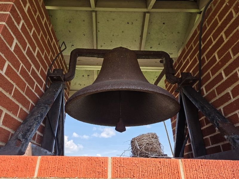
2. The bell from the original United Brethren Church founded by William E. Matlack

Photographed by Mark Parker, July 13, 2026
3. William E. Matlack Marker with the old bell at St. Paul's UMC
Credits. This page was last revised on August 13, 2026. It was originally submitted on August 3, 2026, by Mark Parker of Hickory, North Carolina. This page has been viewed 17 times since then. Photos: 1, 2, 3. submitted on August 3, 2026, by Mark Parker of Hickory, North Carolina. • Devry Becker Jones was the editor who published this page.
