
Decatur Township in Cutler in Washington County, Ohio — The American Midwest (Great Lakes)
Root Covered Bridge
35-84-08
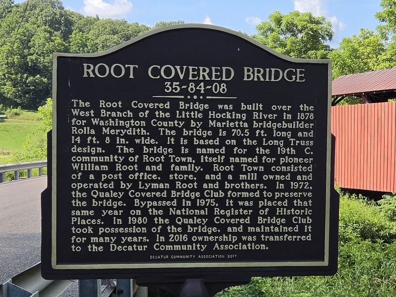
Photographed by Mark Parker, July 13, 2026
1. Root Covered Bridge Marker
Erected 2017 by Decatur Community Association.
Topics and series. This historical marker is listed in these topic lists: Bridges & Viaducts • Settlements & Settlers. In addition, it is included in the Covered Bridges series list. A significant historical year for this entry is 1878.
Location. 39° 20.548′ N, 81° 45.273′ W. Marker is
this page online

Regionally, this marker is in the American Midwest, in the Ohio River Valley, in Appalachia, and specifically in Northern Appalachia. Globally, it is in North America, the Western Hemisphere, the Western World, and the Anglosphere. Historically, it finds itself in what was once the Viceroyalty of New France, the Haudenosaunee (Iroquois) Confederacy, the territory of the Mississippian Culture, and the Northwest Territory.
Other nearby markers. At least 8 other markers are within 9 miles of this marker, measured as the crow flies: Ephraim Cutler (approx. 4.4 miles away); Mill Branch Covered Bridge (approx. 6.1 miles away); God Bless Our United States Veterans (approx. 6.2 miles away); Ohio Buckeye Tree (approx. 7.4 miles away); Farmer's Castle (approx. 8.2 miles away); Belpre (approx. 8.2 miles away); Washington Bottom (approx.
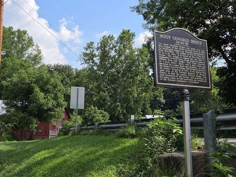
Photographed by Mark Parker, July 13, 2026
2. Root Covered Bridge Marker looking south on Burnett Rd.
Also see . . . NRHP Nomination Form (National Archives Catalog). (Submitted on August 3, 2026.)
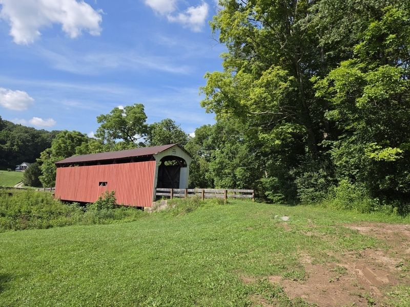
Photographed by Mark Parker, July 13, 2026
3. Root Covered Bridge
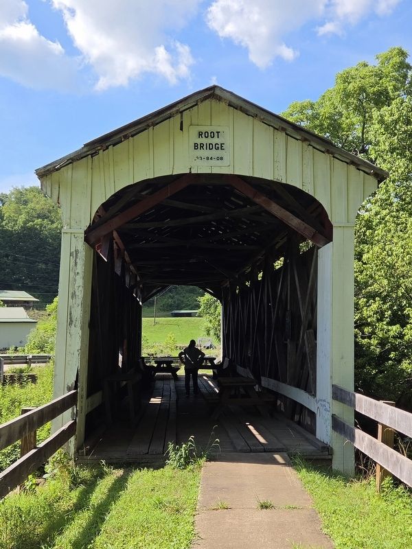
Photographed by Mark Parker, July 13, 2026
4. Root Covered Bridge (33-84-08) south entrance
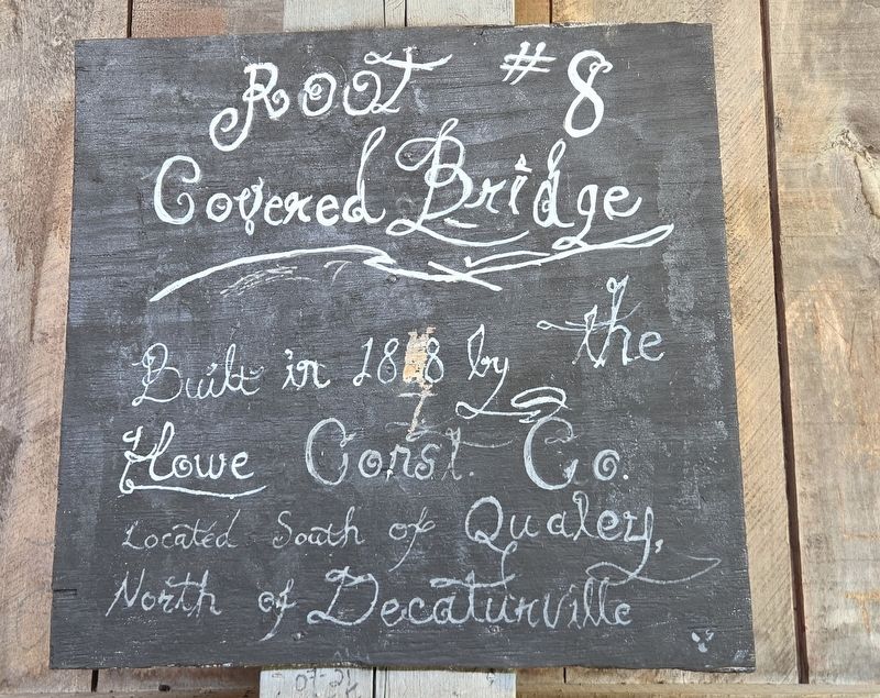
Photographed by Mark Parker, July 13, 2026
5. Root Covered Bridge sign inside the bridge
Credits. This page was last revised on August 3, 2026. It was originally submitted on August 3, 2026, by Mark Parker of Hickory, North Carolina. This page has been viewed 10 times since then. Photos: 1, 2, 3, 4, 5. submitted on August 3, 2026, by Mark Parker of Hickory, North Carolina. • Andrew Ruppenstein was the editor who published this page.
