Fort Knox in Hardin County, Kentucky — The American South (East South Central)
U.S. Army Defenders of Freedom Memorial
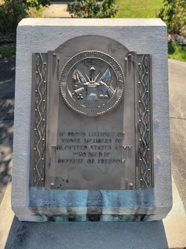
Photographed by Kevin W., August 26, 2024
1. Defenders of Freedom Memorial Marker
Erected by United States of America War Office.
Topics. This memorial is listed in this topic list: Military.
Location. 37° 53.687′ N, 85° 57.432′ W. Memorial is in Fort Knox, Kentucky, in Hardin County. It is on Stithton Circle, on the right when traveling south. Touch for map. Memorial is in this post office area: Fort Knox KY 40122, United States of America. Touch for directions.

Regionally, this memorial is in the American South and specifically in the Upper South. Globally, it is in North America, the Western Hemisphere, the Western World, and the Anglosphere. Historically, it finds itself in what was once the territory of the Mississippian Culture and also the Antebellum South.
Other nearby markers. At least 8 other markers are within walking distance of this marker: Stithton, Kentucky (within shouting distance of this marker); Main Post Chapel (approx. ¼ mile away); US Army Armor Center (approx. ¼ mile away); Visitor's House (approx. 0.3 miles away); M60A1 Tank
this page online
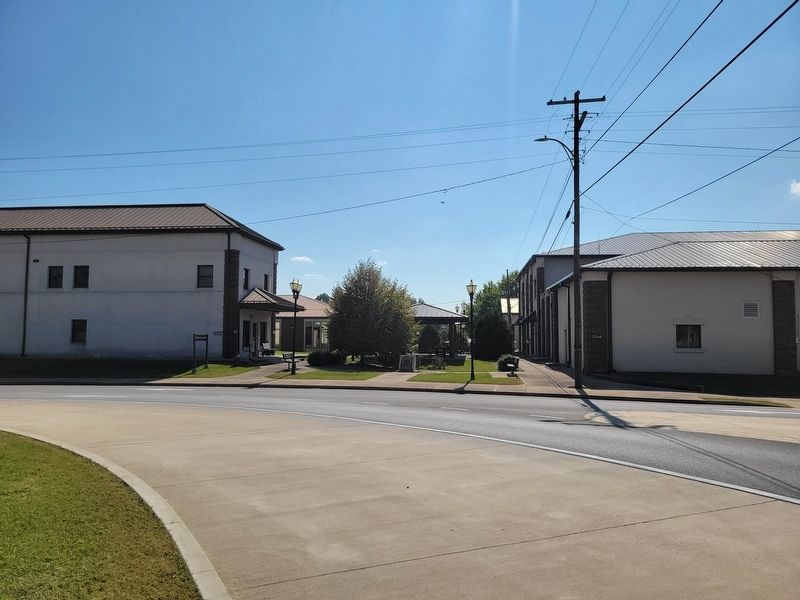
Photographed by Kevin W., August 26, 2024
2. U.S. Army Defenders of Freedom Memorial
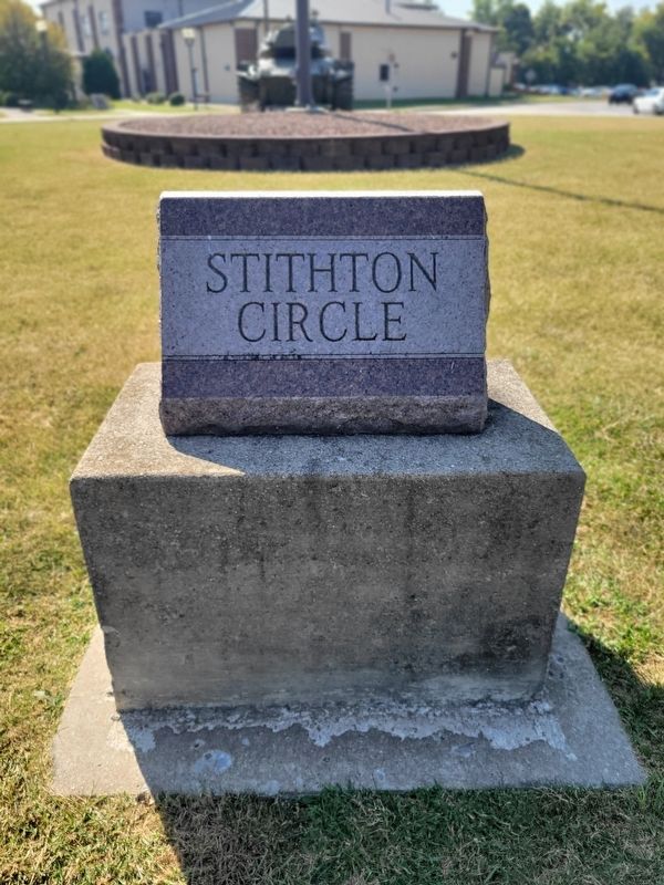
Photographed by Kevin W., August 26, 2024
3. U.S. Army Defenders of Freedom Memorial
Marker is to the left of the stone identifying Stithton Circle.
Credits. This page was last revised on August 4, 2026. It was originally submitted on August 4, 2026, by Kevin W. of Stafford, Virginia. This page has been viewed 12 times since then. Photos: 1, 2, 3. submitted on August 4, 2026, by Kevin W. of Stafford, Virginia.
