Exhibition Park in Guelph in Wellington County, Ontario — Central Canada (North America)
Goldie Mill Ruins
Photographed by Tim Boyd, July 24, 2026
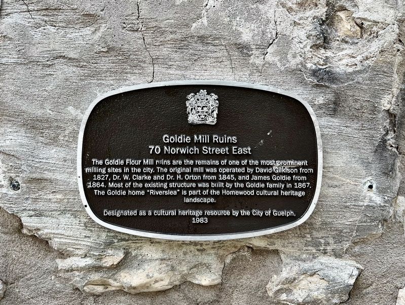
1. Goldie Mill Ruins Marker
Goldie Mill Ruins
70 Norwich Street East
The Goldie Flour Mill ruins are the remains of one of the most prominent milling sites in the city. The original mill was operated by David Gilkison from 1827, Dr. W. Clarke and Dr. H. Orton from 1845, and James Goldie from 1864. Most of the existing structure was built by the Goldie family in 1867. The Goldie home "Riverslea" is part of the Homewood cultural heritage landscape.
Designated as a cultural heritage resource by the City of Guelph, 1963.
Erected 1983 by City of Guelph.
Topics. This historical marker is listed in this topic list: Industry & Commerce. A significant historical year for this entry is 1827.
Location. 43° 33.059′ N, 80° 15.24′ W. Marker is in Guelph, Ontario, in Wellington County. It is in Exhibition Park. It can be reached from Cardigan Street. The marker is attached to the east side of the ruins, accessible on foot on the Downtown Trail, approx. 120 metres from the parking lot on the north side of the Guelph School of Music. Touch for map. Marker is at or near this postal address: 75 Cardigan Street, Guelph ON N1H 3Z7, Canada. Touch for directions.

Regionally,
this page online
Other nearby markers. At least 8 other markers are within walking distance of this marker: Edward Johnson (within shouting distance of this marker); Robert Stewart Lumber Mill (within shouting distance of this marker); Norwich Street Bridge (about 120 meters away, measured in a direct line); Henry Langley 1836-1907 (approx. 0.6 kilometers away); Crown Attorney’s Office (approx. 0.6 kilometers away); Heffernan Street Footbridge (approx. 0.6 kilometers away); Guelph Public Library / Bibliothèque publique de Guelph (approx. 0.6 kilometers away); Centennial of the County of Wellington (approx. 0.6 kilometers away). Touch for a list and map of all markers in Guelph.
Photographed by Tim Boyd, July 24, 2026
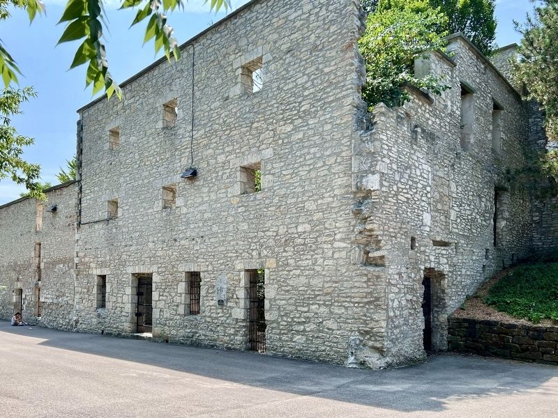
2. Goldie Mill Ruins Marker
Centre of photo
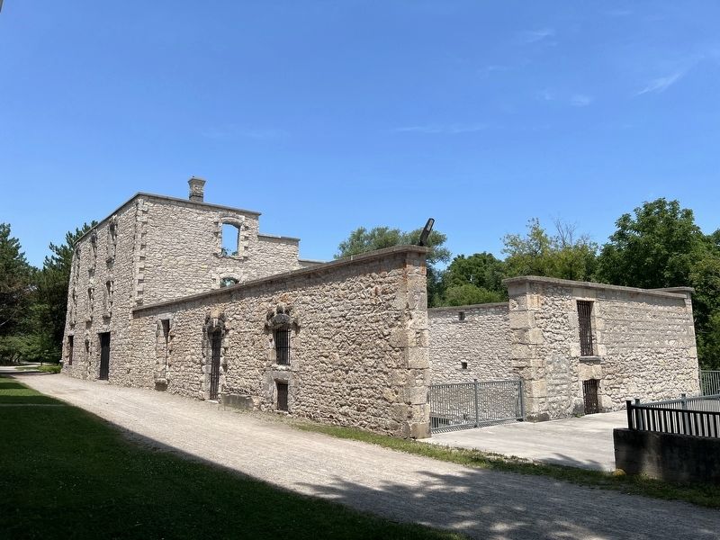
Photographed by Tim Boyd, July 24, 2026
3. Goldie Mill Ruins (south and east side) in 2026
Credits. This page was last revised on August 4, 2026. It was originally submitted on August 4, 2026, by Tim Boyd of Hamilton, Ontario. This page has been viewed 15 times since then. Photos: 1, 2, 3. submitted on August 4, 2026, by Tim Boyd of Hamilton, Ontario. • Andrew Ruppenstein was the editor who published this page.
