Agua Fria in Mariposa County, California — The American West (Pacific Coastal)
The Townsite of Agua Fria California
Photographed by Craig Baker
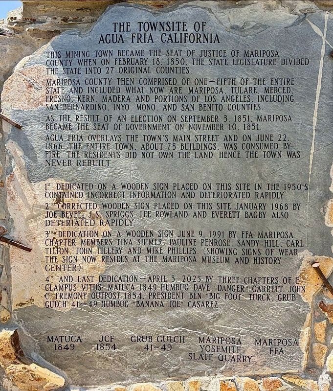
1. Townsite of Agua Fria Marker
This mining town became the seat of justice of Mariposa county when on February 18, 1850, the state legislature divided the state into 27 original counties.
Mariposa county then comprised of one-fifth of the entire state and included what now are Mariposa, Tulare, Merced, Fresno, Kern, Madera, and portions of Los Angeles, including San Bernardino, Inyo, Mono, and San Benito counties.
As the result of an election on September 3, 1851, Mariposa became the seat of government on November 10, 1851.
Agua Fria overlays the town's main street and on June 22, 1866 the entire town, about 75 buildings, was consumed by fire. The residents did not own the land hence the town was never rebuilt.
1st dedicated on a wooden sign placed on this site in the 1950's, contained incorrect information and deteriorated rapidly.
2nd corrected wooden sign placed on this site January 1968 by Joe Bevel, J.S. Spriggs, Lee Rowland, and Everett Bagby, also deteriorated rapidly.
3rd dedication of a wooden sign June 9, 1991 by FFA Mariposa chapter members Tina Shimer, Pauline Penrose, Sandy Hill, Carl Tilton,
this page online
4th and last dedication — April 5, 2025 by three chapters of E Clampus Vitus: Matuca 1849, humbug Dave "Danger" Garrett; John C. Fremont outpost 1854, president Ben "Big Foot" Turck; Grub Gulch 41-49, humbug "Banana Joe" Casarez.
Erected by E Clampus Vitus; Mariposa Yosemite Slate Quarry; and Mariposa FFA. (Marker Number 518.)
Topics and series. This historical marker is listed in this topic list: Settlements & Settlers. In addition, it is included in the E Clampus Vitus series list. A significant historical month for this entry is January 1968.
Location. 37° 29.247′ N, 120° 1.164′ W. Marker is in Agua Fria, California, in Mariposa County. It is on Agua Fria Road 0.4 miles north of California Route 140, on the left when traveling north. Touch for map. Marker is at or near this postal address: 5025 Agua Fria Rd, Mariposa CA 95338, United States of America. Touch for directions.

Regionally, this marker is in California’s Gold Country and in the Sierra Nevada. It is also in the American Mountain West.
Photographed by Craig Baker
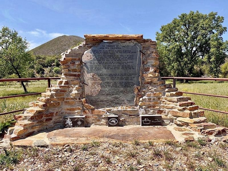
2. Townsite of Agua Fria Marker
Other nearby markers. At least 8 other markers are within 3 miles of this marker, measured as the crow flies: Agua Fria (approx. 0.6 miles away); a different marker also named Agua Fria (approx. 0.6 miles away); La Mineta 1850 - Princeton 1854 - Mount Bullion 1862 (approx. 1.9 miles away); Mariposa Cemetery (approx. 2.4 miles away); The Townsite of Agua Fria, California (approx. 2.7 miles away); Mariposa Museum and History Center (approx. 2.7 miles away); The Lind Homes (approx. 2.8 miles away); Mariposa County Court House (approx. 2.9 miles away).
Regarding The Townsite of Agua Fria California. In 1954 this site was designated California Historical Landmark No. 518. See the three nearby Agua Fria markers for more information.
Photographed by Craig Baker
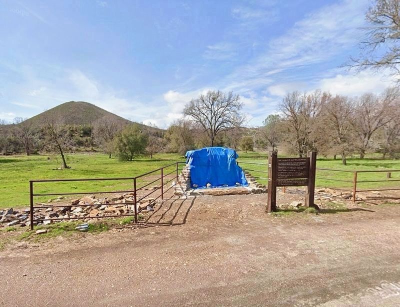
3. Before the Marker Dedication
The wooden sign has been relocated to Mariposa Museum.
Credits. This page was last revised on August 6, 2026. It was originally submitted on August 4, 2026, by Craig Baker of Sylmar, California. This page has been viewed 23 times since then. Photos: 1, 2, 3. submitted on August 4, 2026, by Craig Baker of Sylmar, California.
