Milford Township in Oakland County, Michigan — The American Midwest (Great Lakes)
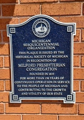
Milford Presbyterian Congregation
Michigan Sesquicentennial Organization
Photographed by Joel Seewald, May 16, 2026
1. Milford Presbyterian Congregation Marker
This plaque is issued by the
Historical Society of Michigan
in recognition of
Milford Presbyterian Congregation
founded in 1835
for more than 150 years of
continuous operation in service
to the people of Michigan and
contributing to the growth
and vitality of our state
Erected by Historical Society of Michigan.
Topics and series. This historical marker is listed in this topic list: Religion & Religious Structures. In addition, it is included in the Michigan - Historical Society of Michigan series list. A significant historical year for this entry is 1835.
Location. 42° 35.354′ N, 83° 36.007′ W. Marker is in Milford, Michigan, in Oakland County. It is in Milford Township. It is at the intersection of North Main Street and Liberty Street, on the right when traveling north on North Main Street. Touch for map. Marker is at or near this postal address: 238 N Main St, Milford MI 48381, United States of America. Touch for directions.

Regionally, this marker is in Southeast Michigan and in Greater Detroit. It is also in the American Midwest. Globally, it is in North America, the Western Hemisphere, the
this page online
Other nearby markers. At least 8 other markers are within walking distance of this marker: Milford's Water Works Building (about 400 feet away, measured in a direct line); Motley Lights (about 500 feet away); Mill Sites in Milford, Michigan Village and Township (about 600 feet away); Pettibone Creek Hydroelectric Station (about 700 feet away); A Ford Village Industry (about 700 feet away); Arthur's Park (about 700 feet away); Phelps Saw Mill and Distillery (about 700 feet away); Milford Rural Agricultural School (approx. 0.2 miles away). Touch for a list and map of all markers in Milford.
Also see . . . Our History. A very short history on the congregation's website. (Submitted on August 4, 2026, by Joel Seewald of Madison Heights, Michigan.)
Photographed by Joel Seewald, May 16, 2026
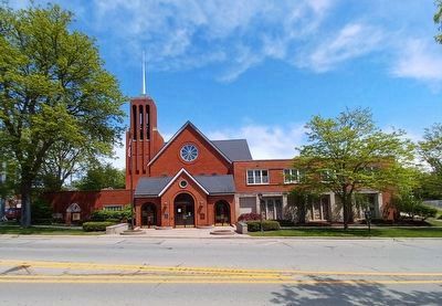
2. Milford Presbyterian Congregation Marker
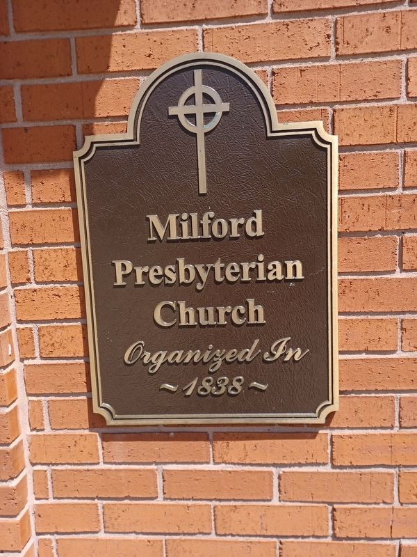
The Historical Society of Michigan plaque is to the left of the main doors; the "Organized in 1838" plaque is to the right.
Photographed by Joel Seewald, May 16, 2026
3. Nearby plaque
Credits. This page was last revised on August 4, 2026. It was originally submitted on August 4, 2026, by Joel Seewald of Madison Heights, Michigan. This page has been viewed 8 times since then. Photos: 1, 2, 3. submitted on August 4, 2026, by Joel Seewald of Madison Heights, Michigan.
